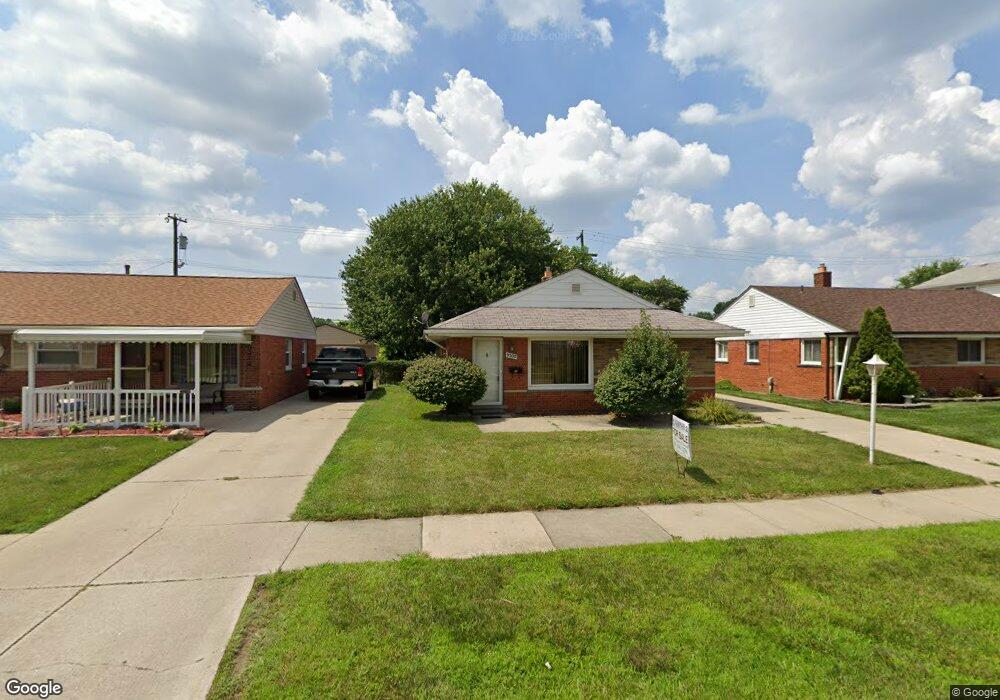
9300 Westpoint St Unit Bldg-Unit Taylor, MI 48180
Estimated Value: $150,000 - $171,000
--
Bed
1
Bath
1,036
Sq Ft
$158/Sq Ft
Est. Value
About This Home
This home is located at 9300 Westpoint St Unit Bldg-Unit, Taylor, MI 48180 and is currently estimated at $163,321, approximately $157 per square foot. 9300 Westpoint St Unit Bldg-Unit is a home located in Wayne County with nearby schools including Clarence Randall Elementary School, Robert J. West Middle School, and Taylor High School.
Ownership History
Date
Name
Owned For
Owner Type
Purchase Details
Closed on
Jun 1, 2020
Sold by
Koloveri Xhemo
Bought by
Gacaferi Hatixhe
Current Estimated Value
Purchase Details
Closed on
Dec 14, 2018
Sold by
Le Thong Dinh and Ngo Thuy
Bought by
Koloveri Xhemo and Gacaferi Hatixhe
Purchase Details
Closed on
Jul 11, 2003
Sold by
Holmes Jolaynne M and Cameron Mary Lucille
Bought by
Le Thong Dinh
Create a Home Valuation Report for This Property
The Home Valuation Report is an in-depth analysis detailing your home's value as well as a comparison with similar homes in the area
Home Values in the Area
Average Home Value in this Area
Purchase History
| Date | Buyer | Sale Price | Title Company |
|---|---|---|---|
| Gacaferi Hatixhe | -- | None Available | |
| Koloveri Xhemo | $75,000 | Michigan Title Ins Agency In | |
| Le Thong Dinh | $107,500 | Multiple |
Source: Public Records
Tax History Compared to Growth
Tax History
| Year | Tax Paid | Tax Assessment Tax Assessment Total Assessment is a certain percentage of the fair market value that is determined by local assessors to be the total taxable value of land and additions on the property. | Land | Improvement |
|---|---|---|---|---|
| 2025 | $1,874 | $76,400 | $0 | $0 |
| 2024 | $1,874 | $64,700 | $0 | $0 |
| 2023 | $2,236 | $57,200 | $0 | $0 |
| 2022 | $1,788 | $50,100 | $0 | $0 |
| 2021 | $1,968 | $44,900 | $0 | $0 |
| 2020 | $1,948 | $37,400 | $0 | $0 |
| 2019 | $200,443 | $37,800 | $0 | $0 |
| 2018 | $1,736 | $30,500 | $0 | $0 |
| 2017 | $671 | $30,500 | $0 | $0 |
| 2016 | $2,020 | $29,600 | $0 | $0 |
| 2015 | $2,753 | $28,600 | $0 | $0 |
| 2013 | $2,730 | $27,900 | $0 | $0 |
| 2012 | $1,775 | $27,900 | $8,600 | $19,300 |
Source: Public Records
Map
Nearby Homes
- 0000 Wick Rd
- 9230 Cooper St
- 24127 Wick Rd
- 9602 Cornell St
- 24329 Wick Rd
- 9702 Cornell St
- 9788 Pine St
- 23467 Baker St
- 0000 Telegraph Rd
- 23395 Pinewood Dr Unit 121
- 24455 Haskell St
- 9636 Mueller St
- 8278 Westpoint St
- 9167 Groschner St
- 23401 Wohlfeil St
- 8240 Westpoint St
- 8326 Elm St
- 23733 Champaign St
- 8279 Elm St
- 9560 Sylvester St
- 9300 Westpoint St
- 236944 Eureka Westpoint St
- 9266 Westpoint St
- 9312 Westpoint St
- 9254 Westpoint St
- 9324 Westpoint St
- 9242 Westpoint St
- 9336 Westpoint St
- 9301 Westpoint St
- 9313 Westpoint St
- 9267 Westpoint St
- 9325 Westpoint St
- 9255 Westpoint St
- 9230 Westpoint St
- 9348 Westpoint St
- 9337 Westpoint St
- 9243 Westpoint St
- 9218 Westpoint St
- 9360 Westpoint St
- 9349 Westpoint St