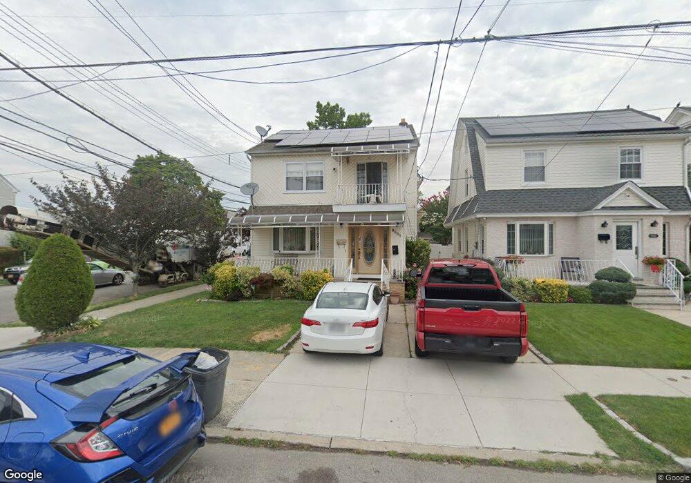
9301 205th St Hollis, NY 11423
Hollis NeighborhoodEstimated Value: $729,000 - $863,000
--
Bed
--
Bath
1,760
Sq Ft
$456/Sq Ft
Est. Value
About This Home
This home is located at 9301 205th St, Hollis, NY 11423 and is currently estimated at $801,897, approximately $455 per square foot. 9301 205th St is a home located in Queens County with nearby schools including The Bellaire School, Jean Nuzzi Intermediate School, and Incarnation Catholic Academy.
Ownership History
Date
Name
Owned For
Owner Type
Purchase Details
Closed on
Jan 31, 2023
Sold by
Hernandez Herbert and Hernandez Paula Rosa
Bought by
Baki Mohammad A and Hossain Asma
Current Estimated Value
Home Financials for this Owner
Home Financials are based on the most recent Mortgage that was taken out on this home.
Original Mortgage
$573,750
Outstanding Balance
$555,088
Interest Rate
6.13%
Mortgage Type
Purchase Money Mortgage
Estimated Equity
$246,809
Create a Home Valuation Report for This Property
The Home Valuation Report is an in-depth analysis detailing your home's value as well as a comparison with similar homes in the area
Home Values in the Area
Average Home Value in this Area
Purchase History
| Date | Buyer | Sale Price | Title Company |
|---|---|---|---|
| Baki Mohammad A | $765,000 | -- |
Source: Public Records
Mortgage History
| Date | Status | Borrower | Loan Amount |
|---|---|---|---|
| Open | Baki Mohammad A | $573,750 |
Source: Public Records
Tax History Compared to Growth
Tax History
| Year | Tax Paid | Tax Assessment Tax Assessment Total Assessment is a certain percentage of the fair market value that is determined by local assessors to be the total taxable value of land and additions on the property. | Land | Improvement |
|---|---|---|---|---|
| 2025 | $6,098 | $30,499 | $7,880 | $22,619 |
| 2024 | $6,098 | $30,360 | $8,545 | $21,815 |
| 2023 | $5,753 | $28,643 | $8,128 | $20,515 |
| 2022 | $5,218 | $36,660 | $12,480 | $24,180 |
| 2021 | $5,670 | $38,880 | $12,480 | $26,400 |
| 2020 | $5,380 | $39,360 | $12,480 | $26,880 |
| 2019 | $5,293 | $36,420 | $12,480 | $23,940 |
| 2018 | $4,866 | $23,869 | $8,530 | $15,339 |
| 2017 | $4,638 | $22,752 | $9,353 | $13,399 |
| 2016 | $4,488 | $22,752 | $9,353 | $13,399 |
| 2015 | $2,589 | $21,180 | $13,860 | $7,320 |
| 2014 | $2,589 | $21,084 | $13,128 | $7,956 |
Source: Public Records
Map
Nearby Homes
- 90-62 204th St
- 90-36 Francis Lewis Blvd
- 9331 207th St
- 90-32 207th St
- 93-45 202nd St
- 9302 202nd St
- 9353 207th St
- 90-13 Francis Lewis Blvd
- 93-17 201st St
- 9051 201st St
- 90-60 209th St
- 90-54 209th St
- 9427 208th St
- 89-28 207th St
- 8919 205th St
- 9013 209th St
- 89-42 202nd St
- 89-25 201st St
- 99-03 207th St
- 88-49 202nd St
- 9305 205th St
- 93-01 205th St
- 9309 205th St
- 93-09 205th St Unit 2F
- 93-09 205th St
- 9311 205th St
- 9302 Francis Lewis Blvd
- 90-69 205th St
- 9304 Francis Lewis Blvd
- 9069 205th St
- 9308 Francis Lewis Blvd
- 9310 Francis Lewis Blvd
- 9310 Francis Lewis Blvd
- 93-08 Francis Lewis Blvd
- 9065 205th St
- 9315 205th St
- 9312 Francis Lewis Blvd
- 9070 Francis Lewis Blvd
- 9302 205th St
- 9068 Francis Lewis Blvd