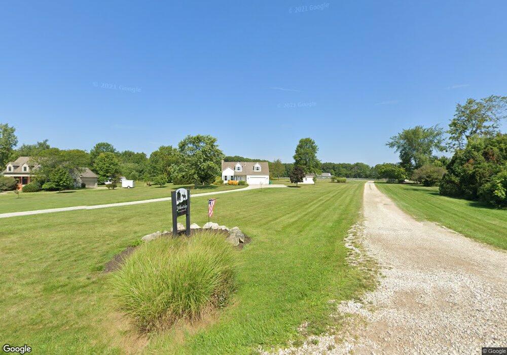
9302 Brock Rd Plain City, OH 43064
Estimated Value: $602,000 - $1,209,295
3
Beds
2
Baths
1,944
Sq Ft
$478/Sq Ft
Est. Value
About This Home
This home is located at 9302 Brock Rd, Plain City, OH 43064 and is currently estimated at $929,432, approximately $478 per square foot. 9302 Brock Rd is a home located in Union County with nearby schools including Abraham Depp Elementary School, Willard Grizzell Middle School, and Dublin Jerome High School.
Ownership History
Date
Name
Owned For
Owner Type
Purchase Details
Closed on
Sep 28, 2007
Sold by
Bosch Sherdian K
Bought by
Bosch Pam S
Current Estimated Value
Purchase Details
Closed on
Nov 23, 1994
Sold by
Headlee Lee R
Bought by
Bosch Sherdian K and Bosch Pam
Home Financials for this Owner
Home Financials are based on the most recent Mortgage that was taken out on this home.
Original Mortgage
$55,900
Interest Rate
9%
Mortgage Type
New Conventional
Create a Home Valuation Report for This Property
The Home Valuation Report is an in-depth analysis detailing your home's value as well as a comparison with similar homes in the area
Home Values in the Area
Average Home Value in this Area
Purchase History
| Date | Buyer | Sale Price | Title Company |
|---|---|---|---|
| Bosch Pam S | -- | Attorney | |
| Bosch Sherdian K | $194,595 | -- |
Source: Public Records
Mortgage History
| Date | Status | Borrower | Loan Amount |
|---|---|---|---|
| Previous Owner | Bosch Sherdian K | $55,900 |
Source: Public Records
Tax History Compared to Growth
Tax History
| Year | Tax Paid | Tax Assessment Tax Assessment Total Assessment is a certain percentage of the fair market value that is determined by local assessors to be the total taxable value of land and additions on the property. | Land | Improvement |
|---|---|---|---|---|
| 2024 | $11,058 | $189,150 | $50,470 | $138,680 |
| 2023 | $11,058 | $189,150 | $50,470 | $138,680 |
| 2022 | $11,169 | $189,150 | $50,470 | $138,680 |
| 2021 | $9,733 | $296,310 | $178,410 | $117,900 |
| 2020 | $9,903 | $296,310 | $178,410 | $117,900 |
| 2019 | $10,914 | $296,310 | $178,410 | $117,900 |
| 2018 | $9,199 | $245,290 | $151,960 | $93,330 |
| 2017 | $8,403 | $245,290 | $151,960 | $93,330 |
| 2016 | $8,771 | $245,290 | $151,960 | $93,330 |
| 2015 | $8,633 | $222,450 | $134,410 | $88,040 |
| 2014 | $8,633 | $222,450 | $134,410 | $88,040 |
| 2013 | $8,797 | $222,450 | $134,410 | $88,040 |
Source: Public Records
Map
Nearby Homes
- 9884 Glenfield Ct Unit Lot 54
- Willwood Plan at Homestead at Scotts Farm
- Greenfield Plan at Homestead at Scotts Farm
- Hilltop Plan at Homestead at Scotts Farm
- Allison Plan at Homestead at Scotts Farm
- Amberwood Plan at Homestead at Scotts Farm
- Riverton Plan at Homestead at Scotts Farm
- Westchester Plan at Homestead at Scotts Farm
- 9389 Red Cherry Ln Unit Lot 14
- TBD Brock Rd
- 9400 Wells Rd
- 9720 Glenfield Ave Unit Lot 60
- 10319 Fox Hill Ct
- Denali Plan at Meadowlark at Jerome Village - Maple Street Collection
- Greenbriar Plan at Meadowlark at Jerome Village - Maple Street Collection
- DaVinci Plan at Meadowlark at Jerome Village - Maple Street Collection
- Yosemite Plan at Meadowlark at Jerome Village - Maple Street Collection
- Jensen Plan at Meadowlark at Jerome Village - Maple Street Collection
- Cumberland Plan at Meadowlark at Jerome Village - Maple Street Collection
- Fairfax Plan at Meadowlark at Jerome Village - Maple Street Collection