9303 124th Ave Unit AI Anderson Island, WA 98303
Estimated Value: $381,000 - $412,000
3
Beds
1
Bath
1,267
Sq Ft
$314/Sq Ft
Est. Value
About This Home
This home is located at 9303 124th Ave Unit AI, Anderson Island, WA 98303 and is currently estimated at $398,000, approximately $314 per square foot. 9303 124th Ave Unit AI is a home located in Pierce County with nearby schools including Anderson Island Elementary School, Pioneer Middle School, and Steilacoom High School.
Ownership History
Date
Name
Owned For
Owner Type
Purchase Details
Closed on
Oct 17, 2000
Sold by
Lueck Linda L
Bought by
Lueck Linda L
Current Estimated Value
Purchase Details
Closed on
Oct 1, 1999
Sold by
Lueck Martha Arline
Bought by
Lueck Martha Arline and The Lueck Family Trust
Purchase Details
Closed on
Dec 16, 1998
Sold by
Foppiano Johnson Llc
Bought by
Lueck Arline M
Purchase Details
Closed on
Apr 23, 1997
Sold by
Seager Glenn M and Seager Lila A
Bought by
Foppiano Johnson Llc
Create a Home Valuation Report for This Property
The Home Valuation Report is an in-depth analysis detailing your home's value as well as a comparison with similar homes in the area
Home Values in the Area
Average Home Value in this Area
Purchase History
| Date | Buyer | Sale Price | Title Company |
|---|---|---|---|
| Lueck Linda L | -- | -- | |
| Lueck Martha Arline | -- | -- | |
| Lueck Arline M | $93,000 | -- | |
| Foppiano Johnson Llc | $4,250 | Chicago Title |
Source: Public Records
Tax History Compared to Growth
Tax History
| Year | Tax Paid | Tax Assessment Tax Assessment Total Assessment is a certain percentage of the fair market value that is determined by local assessors to be the total taxable value of land and additions on the property. | Land | Improvement |
|---|---|---|---|---|
| 2025 | $3,408 | $331,200 | $59,500 | $271,700 |
| 2024 | $3,408 | $316,900 | $65,000 | $251,900 |
| 2023 | $3,408 | $318,700 | $65,000 | $253,700 |
| 2022 | $2,796 | $301,900 | $61,500 | $240,400 |
| 2021 | $2,774 | $212,900 | $18,000 | $194,900 |
| 2019 | $409 | $192,600 | $14,900 | $177,700 |
| 2018 | $417 | $178,400 | $12,300 | $166,100 |
| 2017 | $429 | $156,000 | $9,300 | $146,700 |
| 2016 | $681 | $122,600 | $7,600 | $115,000 |
| 2014 | $1,157 | $121,500 | $9,400 | $112,100 |
| 2013 | $1,157 | $114,900 | $8,100 | $106,800 |
Source: Public Records
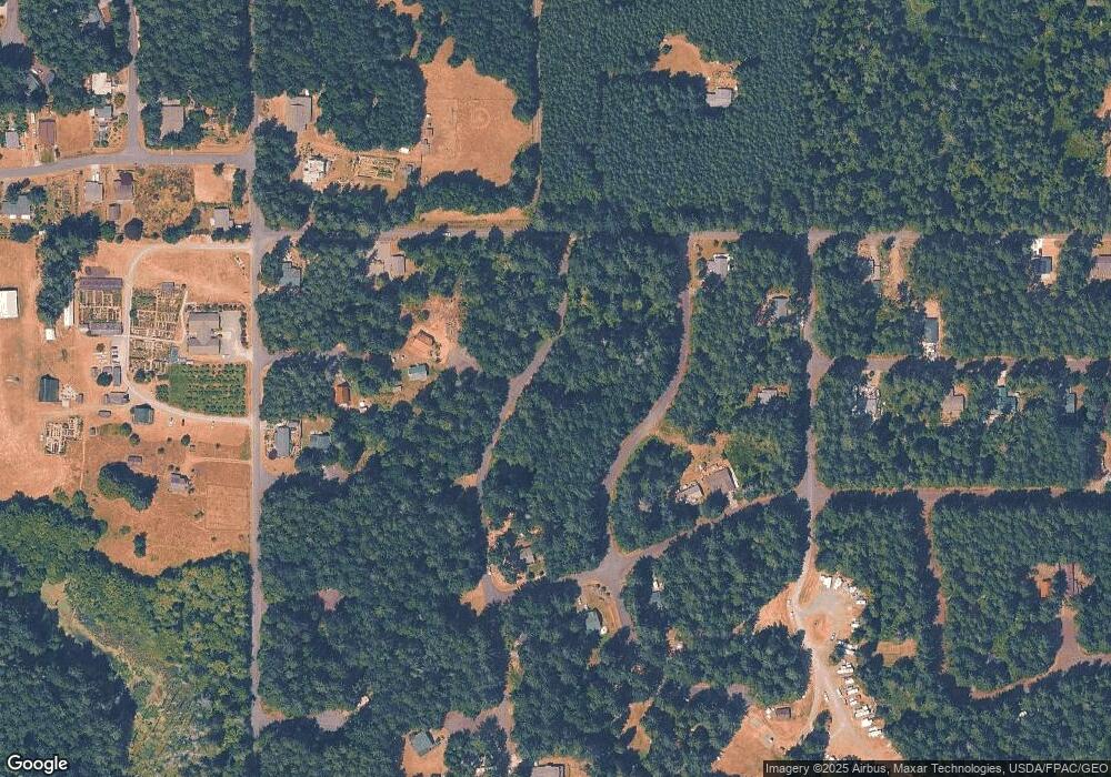
Map
Nearby Homes
- 9310 123rd Ave
- 12408 93rd St
- 12123 Sunset Place
- 12727 96th Street Ct
- 12606 Silver Dr
- 9223 Kootenai Dr
- 12726 96th Street Ct
- 8912 126th Avenue Ct
- 8811 127th Avenue Ct
- 12611 Silver Dr
- 9705 117th Ave
- 9118 130th Avenue Ct
- 10115 Edgewood Dr
- 8615 Eckenstam Johnson Rd
- 10213 Edgewood Dr
- 11316 Breaker Way
- 10412 Edgewood Dr
- 11809 105th Street Ct Unit AI
- 10607 Edgewood Dr Unit lot4&5
- 10508 Anchor Place
- 9307 124th Ave Unit AI
- 9217 124th Ave
- 9213 124th Ave
- 9306 123rd Ave
- 9302 123rd Ai Ave
- 9209 123rd Ave
- 12403 93rd St
- 9319 124th Ave
- 12404 93rd Stct
- 9317 123rd Ave
- 9320 124th Ave
- 12411 93rd St Unit AI
- 12412 93rd St Unit AI
- 12412 Yoman Rd
- 9325 123rd Ave
- 9213 123rd Ave
- 9409 124th Ave Unit AI
- 12211 Wapato Rd Unit AI
- 12210 Yoman Rd Unit AI
- 12512 92nd St Ct