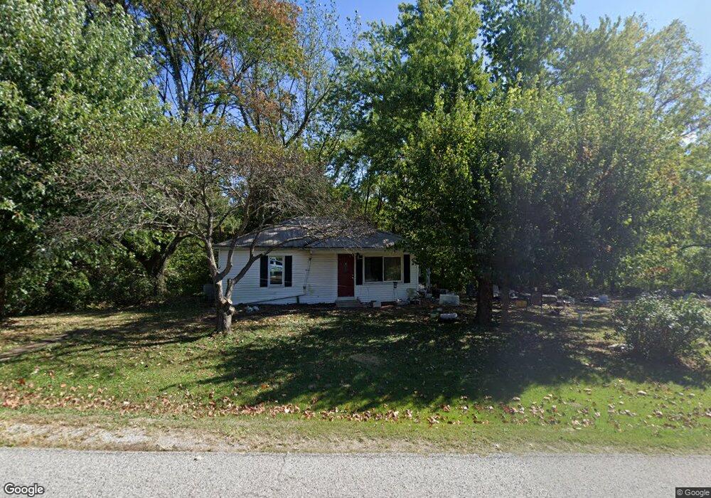
9304 Brushy Fork Rd Tell City, IN 47586
Estimated Value: $178,000 - $264,000
3
Beds
1
Bath
1,392
Sq Ft
$145/Sq Ft
Est. Value
About This Home
This home is located at 9304 Brushy Fork Rd, Tell City, IN 47586 and is currently estimated at $201,768, approximately $144 per square foot. 9304 Brushy Fork Rd is a home located in Perry County with nearby schools including William Tell Elementary School and Tell City Junior/Senior High School.
Ownership History
Date
Name
Owned For
Owner Type
Purchase Details
Closed on
Apr 30, 2008
Sold by
Mahaney Walter P and Mahaney Dianne F
Bought by
Mahaney Paul and Mahaney Valerie
Current Estimated Value
Home Financials for this Owner
Home Financials are based on the most recent Mortgage that was taken out on this home.
Original Mortgage
$69,020
Outstanding Balance
$43,824
Interest Rate
5.93%
Mortgage Type
FHA
Estimated Equity
$157,944
Create a Home Valuation Report for This Property
The Home Valuation Report is an in-depth analysis detailing your home's value as well as a comparison with similar homes in the area
Home Values in the Area
Average Home Value in this Area
Purchase History
| Date | Buyer | Sale Price | Title Company |
|---|---|---|---|
| Mahaney Paul | -- | None Available |
Source: Public Records
Mortgage History
| Date | Status | Borrower | Loan Amount |
|---|---|---|---|
| Open | Mahaney Paul | $69,020 |
Source: Public Records
Tax History Compared to Growth
Tax History
| Year | Tax Paid | Tax Assessment Tax Assessment Total Assessment is a certain percentage of the fair market value that is determined by local assessors to be the total taxable value of land and additions on the property. | Land | Improvement |
|---|---|---|---|---|
| 2024 | $780 | $117,700 | $22,900 | $94,800 |
| 2023 | $674 | $104,700 | $22,900 | $81,800 |
| 2022 | $568 | $100,400 | $20,000 | $80,400 |
| 2021 | $424 | $79,200 | $12,000 | $67,200 |
| 2020 | $345 | $74,100 | $12,000 | $62,100 |
| 2019 | $342 | $73,000 | $11,500 | $61,500 |
| 2018 | $341 | $68,800 | $11,500 | $57,300 |
| 2017 | $324 | $66,800 | $11,500 | $55,300 |
| 2016 | $338 | $66,200 | $11,500 | $54,700 |
| 2014 | $375 | $65,000 | $11,500 | $53,500 |
| 2013 | $375 | $63,800 | $11,500 | $52,300 |
Source: Public Records
Map
Nearby Homes
- 9485 Singleton Rd
- 0 Brushy Fork Rd
- 9040 Steward Rd
- 9225 Sunset Rd
- 8700 Brushy Fork Rd
- 9765 Stardust Rd
- 1804 12th St
- 1634 13th St
- Revolution Craftsman Plan at Forest Canton Heights
- Patriot Craftsman Plan at Forest Canton Heights
- National Craftsman Plan at Forest Canton Heights
- Cumberland Craftsman Plan at Forest Canton Heights
- Teton Craftsman Plan at Forest Canton Heights
- Summit Craftsman Plan at Forest Canton Heights
- 9150 Doctor N A James Ave Unit 4
- 1341 17th St
- 1241 20th St
- 0 Starlite Rd
- 1148 20th St
- 1410 12th St
- 9264 Brushy Fork Rd
- 9423 Brushy Fork Rd
- 3285 Stone Rd
- 3270 Stone Rd
- 9135 Brushy Fork Rd
- 3340 Stone Rd
- 9505 Brushy Fork Rd
- 9124 Brushy Fork Rd
- 9520 Brushy Fork Rd
- 9503 Brushy Fork Rd
- 3369 Stone Rd
- 3375 Stone Rd
- 9537 Brushy Fork Rd
- 3356 Stone Rd
- 3461 Stone Rd
- 9571 Brushy Fork Rd
- 9445 Sherwood Rd
- 9068 Brushy Fork Rd
- 9569 Brushy Fork Rd
- 9541 Brushy Fork Rd