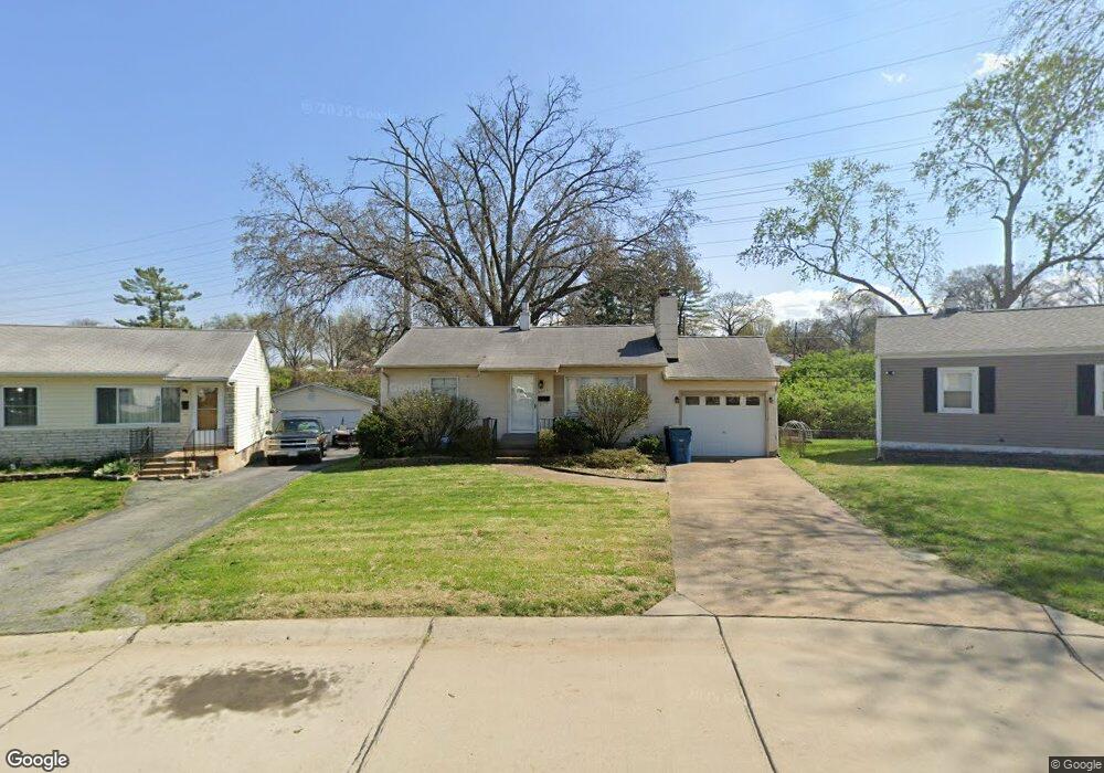
9304 Hoppy Dr Saint Louis, MO 63123
Estimated Value: $188,000 - $222,000
2
Beds
1
Bath
768
Sq Ft
$265/Sq Ft
Est. Value
About This Home
This home is located at 9304 Hoppy Dr, Saint Louis, MO 63123 and is currently estimated at $203,861, approximately $265 per square foot. 9304 Hoppy Dr is a home located in St. Louis County with nearby schools including Mesnier Primary School, Gotsch Intermediate School, and Rogers Middle School.
Ownership History
Date
Name
Owned For
Owner Type
Purchase Details
Closed on
May 4, 2005
Sold by
Carroll Bryan and Carroll Sheri L
Bought by
Carroll Bryan and Carroll Sheri L
Current Estimated Value
Home Financials for this Owner
Home Financials are based on the most recent Mortgage that was taken out on this home.
Original Mortgage
$112,000
Interest Rate
7.1%
Mortgage Type
Stand Alone Refi Refinance Of Original Loan
Create a Home Valuation Report for This Property
The Home Valuation Report is an in-depth analysis detailing your home's value as well as a comparison with similar homes in the area
Home Values in the Area
Average Home Value in this Area
Purchase History
| Date | Buyer | Sale Price | Title Company |
|---|---|---|---|
| Carroll Bryan | -- | -- |
Source: Public Records
Mortgage History
| Date | Status | Borrower | Loan Amount |
|---|---|---|---|
| Closed | Carroll Bryan | $112,000 | |
| Closed | Carroll Bryan | $28,000 |
Source: Public Records
Tax History
| Year | Tax Paid | Tax Assessment Tax Assessment Total Assessment is a certain percentage of the fair market value that is determined by local assessors to be the total taxable value of land and additions on the property. | Land | Improvement |
|---|---|---|---|---|
| 2025 | $2,523 | $35,210 | $14,080 | $21,130 |
| 2024 | $2,523 | $31,010 | $10,050 | $20,960 |
| 2023 | $2,523 | $31,010 | $10,050 | $20,960 |
| 2022 | $2,418 | $26,330 | $10,050 | $16,280 |
| 2021 | $2,207 | $26,330 | $10,050 | $16,280 |
| 2020 | $2,100 | $23,360 | $9,790 | $13,570 |
| 2019 | $2,096 | $23,360 | $9,790 | $13,570 |
| 2018 | $2,026 | $19,950 | $6,820 | $13,130 |
| 2017 | $2,013 | $19,950 | $6,820 | $13,130 |
| 2016 | $1,740 | $18,300 | $3,970 | $14,330 |
| 2015 | $1,747 | $18,300 | $3,970 | $14,330 |
| 2014 | $1,834 | $19,140 | $5,420 | $13,720 |
Source: Public Records
Map
Nearby Homes
- 9821 Zenith Dr
- 9105 Southview Ln
- 9955 Box Elder Ct
- 9209 Reavis Barracks Rd
- 9530 Erie Dr
- 9740 Bexley Station Dr Unit 7G
- 9117 Tiber Ct
- 10069 N Bunker Hill Dr Unit A
- 9134 Niger Dr
- 10031 Echoridge Ln Unit A
- 9925 Bunker Hill Dr Unit F
- 9406 Mackenzie Rd
- 9070 Villaridge Ct Unit 38
- 9047 Villaridge Ct Unit A
- 9404 Jachurst Ln
- 9319 Lenard Ct
- 9924 Bunker Hill Dr Unit G
- 9620 Chamblin Dr
- 4733 McCorry Dr
- 9901 Wil Bes Dr
Your Personal Tour Guide
Ask me questions while you tour the home.