9304 S Buckner Tarsney Rd Oak Grove, MO 64075
Estimated Value: $454,000 - $727,903
4
Beds
3
Baths
2,548
Sq Ft
$242/Sq Ft
Est. Value
About This Home
This home is located at 9304 S Buckner Tarsney Rd, Oak Grove, MO 64075 and is currently estimated at $616,968, approximately $242 per square foot. 9304 S Buckner Tarsney Rd is a home located in Jackson County with nearby schools including Mason Elementary School, Bernard C. Campbell Middle School, and Lee's Summit North High School.
Ownership History
Date
Name
Owned For
Owner Type
Purchase Details
Closed on
Jul 18, 2002
Sold by
Setter Jerome E and Setter Cynthia A
Bought by
Setter Jerome E and Setter Cynthia A
Current Estimated Value
Purchase Details
Closed on
Jan 2, 2002
Sold by
Dodson James W and Dodson Felicia J
Bought by
Setter Jerome E and Setter Cynthia A
Home Financials for this Owner
Home Financials are based on the most recent Mortgage that was taken out on this home.
Original Mortgage
$42,210
Interest Rate
6.73%
Mortgage Type
Seller Take Back
Create a Home Valuation Report for This Property
The Home Valuation Report is an in-depth analysis detailing your home's value as well as a comparison with similar homes in the area
Home Values in the Area
Average Home Value in this Area
Purchase History
| Date | Buyer | Sale Price | Title Company |
|---|---|---|---|
| Setter Jerome E | -- | Stewart Title | |
| Setter Jerome E | -- | Stewart Title |
Source: Public Records
Mortgage History
| Date | Status | Borrower | Loan Amount |
|---|---|---|---|
| Closed | Setter Jerome E | $42,210 |
Source: Public Records
Tax History Compared to Growth
Tax History
| Year | Tax Paid | Tax Assessment Tax Assessment Total Assessment is a certain percentage of the fair market value that is determined by local assessors to be the total taxable value of land and additions on the property. | Land | Improvement |
|---|---|---|---|---|
| 2025 | $7,314 | $110,562 | $17,509 | $93,053 |
| 2024 | $7,239 | $104,916 | $19,844 | $85,072 |
| 2023 | $7,239 | $104,917 | $15,343 | $89,574 |
| 2022 | $6,556 | $83,600 | $7,562 | $76,038 |
| 2021 | $6,270 | $83,600 | $7,562 | $76,038 |
| 2020 | $5,545 | $73,323 | $7,562 | $65,761 |
| 2019 | $5,401 | $73,323 | $7,562 | $65,761 |
| 2018 | $5,324 | $66,692 | $24,708 | $41,984 |
| 2017 | $5,324 | $66,692 | $24,708 | $41,984 |
| 2016 | $5,262 | $65,020 | $9,593 | $55,427 |
| 2014 | $5,364 | $65,020 | $9,593 | $55,427 |
Source: Public Records
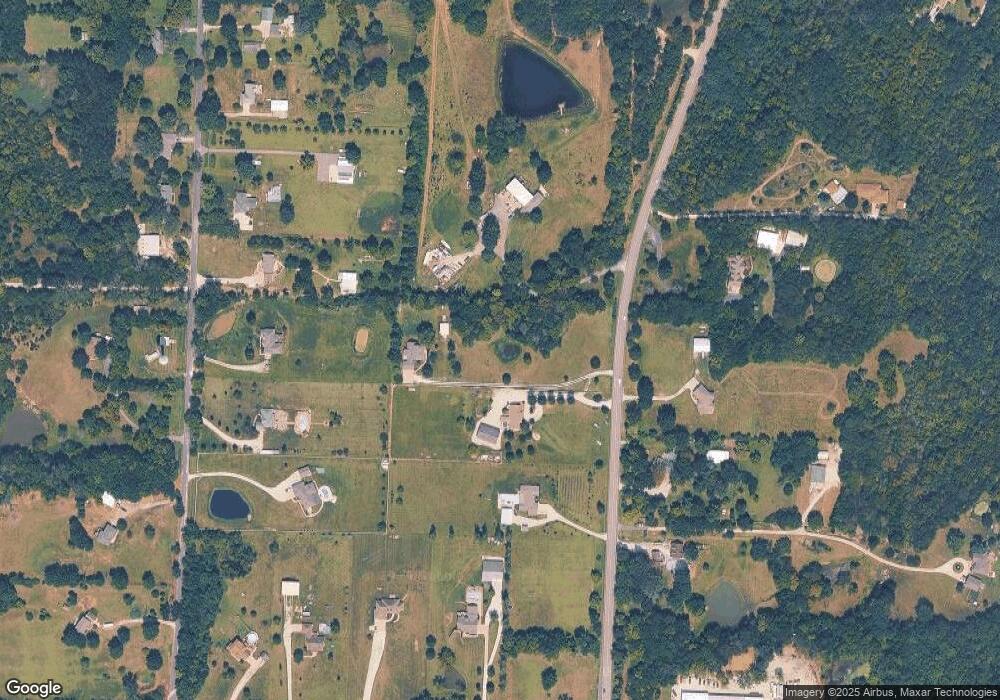
Map
Nearby Homes
- 9401 S Buckner Tarsney Rd
- 1604 SW Stonewall Dr
- 1602 SW Stonewall Dr
- 2332 Park Ln
- 1500 SW Stonewall Dr
- 1503 SW Stonewall Dr
- 31212 E Webster Rd
- 40 A St
- 7915 S Old Major Rd
- 48 Z St
- 49-51 Z Lake Shore Dr
- 110 C St
- 32000 E Major Rd
- 27315 E Acacia Dr
- 27309 Acacia Dr
- 27307 Acacia Dr
- 27319 E Acacia Dr
- 27305 Acacia Dr
- 27317 E Acacia Dr
- 27311 Acacia Dr
- 9310 S Buckner Tarsney Rd
- 9305 S Litchford Rd
- 9329 S Litchford Rd
- 9223 S Litchford Rd
- 9400 S Buckner Tarsney Rd
- 9401 S Litchford Rd
- 9214 S Buckner Tarsney Rd
- 9209 S Litchford Rd
- 9217 S Litchford Rd
- 31310 E Colburn Rd
- 9319 S Buckner Tarsney Rd
- 31406 E Colburn Rd
- 9216 S Litchford Rd
- 31300 E Colburn Rd
- 9315 S Buckner Tarsney Rd
- 31202 County Highway 8-S
- 9203 S Litchford Rd
- 9306 S Litchford Rd
- 9403 S Buckner Tarsney Rd
- 9208 S Litchford Rd