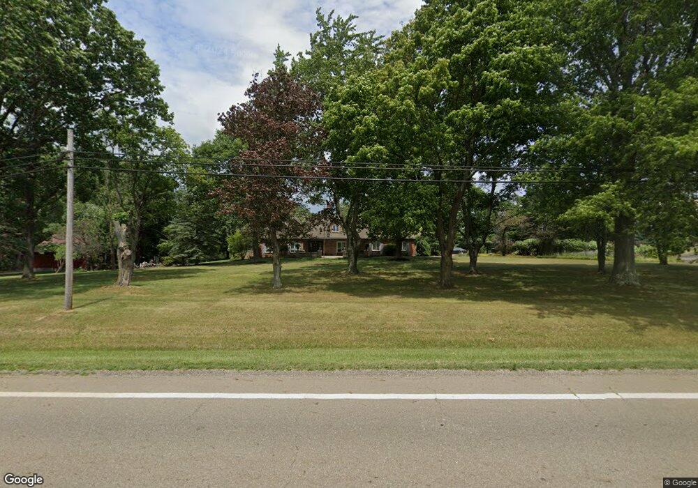
9305 Louisville St Louisville, OH 44641
Estimated Value: $518,000 - $637,748
3
Beds
6
Baths
4,480
Sq Ft
$128/Sq Ft
Est. Value
About This Home
This home is located at 9305 Louisville St, Louisville, OH 44641 and is currently estimated at $571,249, approximately $127 per square foot. 9305 Louisville St is a home located in Stark County with nearby schools including Louisville High School and St. Thomas Aquinas High School & Middle School.
Ownership History
Date
Name
Owned For
Owner Type
Purchase Details
Closed on
Nov 23, 2018
Sold by
Sims Michael D and Sims Kathleen
Bought by
Sims Michael D and Sims Kathleen
Current Estimated Value
Purchase Details
Closed on
Jul 15, 2004
Sold by
Pugh Todd E and Pugh Anna M
Bought by
Sims Michael D and Sims Candace E
Home Financials for this Owner
Home Financials are based on the most recent Mortgage that was taken out on this home.
Original Mortgage
$250,000
Interest Rate
6.37%
Mortgage Type
Purchase Money Mortgage
Purchase Details
Closed on
Aug 23, 1999
Sold by
Leroux Charlita M
Bought by
Pugh Todd E and Pugh Anna M
Home Financials for this Owner
Home Financials are based on the most recent Mortgage that was taken out on this home.
Original Mortgage
$172,000
Interest Rate
7.61%
Create a Home Valuation Report for This Property
The Home Valuation Report is an in-depth analysis detailing your home's value as well as a comparison with similar homes in the area
Home Values in the Area
Average Home Value in this Area
Purchase History
| Date | Buyer | Sale Price | Title Company |
|---|---|---|---|
| Sims Michael D | $46,100 | None Available | |
| Sims Michael D | $400,000 | -- | |
| Pugh Todd E | $215,000 | -- |
Source: Public Records
Mortgage History
| Date | Status | Borrower | Loan Amount |
|---|---|---|---|
| Previous Owner | Sims Michael D | $250,000 | |
| Previous Owner | Pugh Todd E | $172,000 |
Source: Public Records
Tax History Compared to Growth
Tax History
| Year | Tax Paid | Tax Assessment Tax Assessment Total Assessment is a certain percentage of the fair market value that is determined by local assessors to be the total taxable value of land and additions on the property. | Land | Improvement |
|---|---|---|---|---|
| 2025 | -- | $221,170 | $26,780 | $194,390 |
| 2024 | -- | $221,170 | $26,780 | $194,390 |
| 2023 | $7,112 | $145,950 | $21,980 | $123,970 |
| 2022 | $7,123 | $145,950 | $21,980 | $123,970 |
| 2021 | $7,144 | $145,950 | $21,980 | $123,970 |
| 2020 | $5,726 | $123,690 | $20,230 | $103,460 |
| 2019 | $5,743 | $127,440 | $23,980 | $103,460 |
| 2018 | $5,921 | $127,440 | $23,980 | $103,460 |
Source: Public Records
Map
Nearby Homes
- 203 Brookfield St
- 2015 E Main St
- 1812 E Broad St
- 5495 Meese Rd NE
- 2110 Edmar St
- 1715 High St
- 0 Michigan Blvd
- 308 Superior St
- 3390 Meese Rd NE
- 641 S Nickelplate St
- 5765 Maplegrove St
- 1170 Winding Ridge Ave
- 520 S Silver St
- 6052 N Nickelplate St
- 910 Crosswyck Cir
- 728 E Broad St
- 325 Lincoln Ave
- 822 Sand Lot Cir
- 908 Sand Lot Cir
- 204 E Broad St
- 9400 Louisville St
- 9368 Louisville St
- 9201 Louisville St
- 9420 Louisville St
- 9444 Louisville St
- 9464 Louisville St
- 4570 Midpine St
- 4822 Eshelman St
- 9112 Louisville St
- 9112 Louisville St
- 4544 Midpine St
- 4625 Midpine St
- 9474 Louisville St
- 4522 Midpine St
- 4601 Midpine St
- 4869 Eshelman St
- 4571 Midpine St
- 9080 Louisville St
- 4500 Midpine St
- 4810 Eshelman St