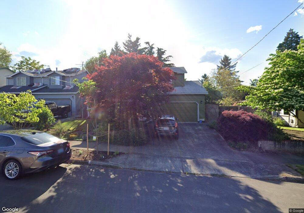
9305 N Mohawk Ave Portland, OR 97203
Saint Johns NeighborhoodEstimated Value: $470,000 - $593,000
3
Beds
3
Baths
1,559
Sq Ft
$332/Sq Ft
Est. Value
About This Home
This home is located at 9305 N Mohawk Ave, Portland, OR 97203 and is currently estimated at $518,025, approximately $332 per square foot. 9305 N Mohawk Ave is a home located in Multnomah County with nearby schools including James John Elementary School, George Middle School, and Roosevelt High School.
Ownership History
Date
Name
Owned For
Owner Type
Purchase Details
Closed on
Apr 25, 2014
Sold by
Dean Orvin
Bought by
Howe Kristina M
Current Estimated Value
Home Financials for this Owner
Home Financials are based on the most recent Mortgage that was taken out on this home.
Original Mortgage
$196,377
Outstanding Balance
$148,734
Interest Rate
4.32%
Mortgage Type
FHA
Estimated Equity
$369,291
Purchase Details
Closed on
Oct 11, 2000
Sold by
Martin Lorne A
Bought by
Dean Orvin and Dean Desiree E
Home Financials for this Owner
Home Financials are based on the most recent Mortgage that was taken out on this home.
Original Mortgage
$148,927
Interest Rate
7.96%
Mortgage Type
FHA
Create a Home Valuation Report for This Property
The Home Valuation Report is an in-depth analysis detailing your home's value as well as a comparison with similar homes in the area
Home Values in the Area
Average Home Value in this Area
Purchase History
| Date | Buyer | Sale Price | Title Company |
|---|---|---|---|
| Howe Kristina M | $200,000 | Ticor Title Company | |
| Dean Orvin | $149,950 | First American Title Co |
Source: Public Records
Mortgage History
| Date | Status | Borrower | Loan Amount |
|---|---|---|---|
| Open | Howe Kristina M | $196,377 | |
| Previous Owner | Dean Orvin | $148,927 |
Source: Public Records
Tax History Compared to Growth
Tax History
| Year | Tax Paid | Tax Assessment Tax Assessment Total Assessment is a certain percentage of the fair market value that is determined by local assessors to be the total taxable value of land and additions on the property. | Land | Improvement |
|---|---|---|---|---|
| 2025 | $5,674 | $210,560 | -- | -- |
| 2024 | $5,470 | $204,430 | -- | -- |
| 2023 | $5,259 | $198,480 | $0 | $0 |
| 2022 | $5,146 | $192,700 | $0 | $0 |
| 2021 | $5,058 | $187,090 | $0 | $0 |
| 2020 | $4,641 | $181,650 | $0 | $0 |
| 2019 | $4,470 | $176,360 | $0 | $0 |
| 2018 | $4,339 | $171,230 | $0 | $0 |
| 2017 | $4,158 | $166,250 | $0 | $0 |
| 2016 | $3,806 | $161,410 | $0 | $0 |
| 2015 | $3,706 | $156,710 | $0 | $0 |
| 2014 | $3,650 | $152,150 | $0 | $0 |
Source: Public Records
Map
Nearby Homes
- 9523 N Allegheny Ave
- 8209 N Fessenden St
- 9314 N Tioga Ave
- 9563 N Polk Ave
- 8913 N Seneca St
- 9545 N Iris Way
- 8420 N Smith St
- 8507 N Mohawk Ave
- 10035 N Calhoun Ave
- 7474 N Polk Ave
- 7472 N Polk Ave
- 7468 N Polk Ave
- 7681 N Kellogg St
- 7675 N Kellogg St
- 8083 N Leavitt Ave Unit 161
- 9418 N Bristol Ave
- 9416 N Bristol Ave
- 9414 N Bristol Ave
- 9619 N Kalmar St
- 7045 N Mears St
- 9237 N Mohawk Ave
- 9311 N Mohawk Ave
- 9319 N Mohawk Ave
- 9306 N Oswego Ave
- 9225 N Mohawk Ave
- 9228 N Oswego Ave
- 9312 N Oswego Ave
- 9224 N Oswego Ave
- 9322 N Oswego Ave
- 9327 N Mohawk Ave
- 9240 N Mohawk Ave
- 9304 N Mohawk Ave
- 9316 N Mohawk Ave
- 9232 N Mohawk Ave
- 9207 N Mohawk Ave
- 8015 N Smith St
- 9332 N Oswego Ave
- 9318 N Mohawk Ave
- 9228 N Mohawk Ave
- 8025 N Smith St