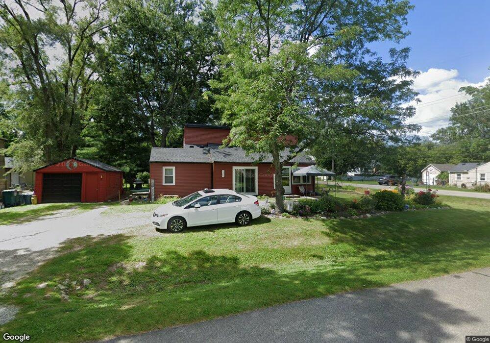
9309 Northern Ave Plymouth, MI 48170
Estimated Value: $302,803 - $446,000
--
Bed
1
Bath
1,693
Sq Ft
$230/Sq Ft
Est. Value
About This Home
This home is located at 9309 Northern Ave, Plymouth, MI 48170 and is currently estimated at $388,701, approximately $229 per square foot. 9309 Northern Ave is a home located in Wayne County with nearby schools including Canton High School, Smith Elementary School, and West Middle School.
Ownership History
Date
Name
Owned For
Owner Type
Purchase Details
Closed on
Feb 16, 2019
Sold by
Hogan Rita Marie and Hesse Ronald James
Bought by
Hesse Rita M
Current Estimated Value
Home Financials for this Owner
Home Financials are based on the most recent Mortgage that was taken out on this home.
Original Mortgage
$87,000
Interest Rate
4.75%
Mortgage Type
Adjustable Rate Mortgage/ARM
Purchase Details
Closed on
Jul 24, 2009
Sold by
Steele Rosemary and Mcdonald Rosemary
Bought by
Steele Rosemary Ann and The Rosemary Ann Steele Revocable Trust
Create a Home Valuation Report for This Property
The Home Valuation Report is an in-depth analysis detailing your home's value as well as a comparison with similar homes in the area
Home Values in the Area
Average Home Value in this Area
Purchase History
| Date | Buyer | Sale Price | Title Company |
|---|---|---|---|
| Hesse Rita M | -- | None Available | |
| Steele Rosemary Ann | -- | None Available |
Source: Public Records
Mortgage History
| Date | Status | Borrower | Loan Amount |
|---|---|---|---|
| Closed | Hesse Rita M | $87,000 |
Source: Public Records
Tax History Compared to Growth
Tax History
| Year | Tax Paid | Tax Assessment Tax Assessment Total Assessment is a certain percentage of the fair market value that is determined by local assessors to be the total taxable value of land and additions on the property. | Land | Improvement |
|---|---|---|---|---|
| 2025 | $1,800 | $159,700 | $0 | $0 |
| 2024 | $1,800 | $140,400 | $0 | $0 |
| 2023 | $1,715 | $127,200 | $0 | $0 |
| 2022 | $2,281 | $111,400 | $0 | $0 |
| 2021 | $2,844 | $108,500 | $0 | $0 |
| 2019 | $2,151 | $97,540 | $0 | $0 |
| 2018 | $1,468 | $81,290 | $0 | $0 |
| 2017 | $1,026 | $32,400 | $0 | $0 |
| 2016 | $1,924 | $75,900 | $0 | $0 |
| 2015 | $6,146 | $70,430 | $0 | $0 |
| 2013 | $5,955 | $69,660 | $0 | $0 |
| 2012 | -- | $67,010 | $32,370 | $34,640 |
Source: Public Records
Map
Nearby Homes
- 9405 Northern Ave
- 9264 Brookline Ave
- 9453 Brookline Ave
- 1338 S Harvey St
- 9230 Brookline Ave
- 9101 Ball St
- 1078 Simpson St
- 1199 S Sheldon Rd Unit 77
- 9060 N Sheldon Rd
- 9205 Rocker Ave
- 8880 Elmhurst Ave
- 8845 Oakview St
- 844 Ross St
- 8830 Northern Ave
- 8870 Brookline Ave
- 8834 Northern Ave
- 685 Ross St
- 8876 N Sheldon Rd
- 44703 Erin Dr
- 1125 Sutherland St
- 9295 Northern Ave
- 9404 Oakview St
- 9285 Northern Ave
- 9304 Oakview St
- 9308 Northern Ave
- 9304 Northern Ave
- 9412 Oakview St
- 9414 Oakview St
- 9275 Northern Ave
- 9404 Northern Ave
- 9423 Northern Ave
- 9284 Northern Ave
- 9284 Northern Ave
- 9456 Oakview St
- 9416 Northern Ave
- 9422 Oakview St
- 9265 Northern Ave
- 9431 Northern Ave
- 9274 Northern Ave
- 9272 Oakview St