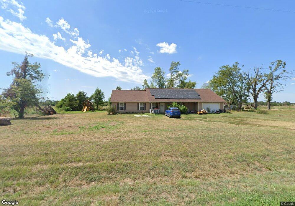
9309 S Highway 43 Gentry, AR 72734
Estimated Value: $386,267 - $516,000
--
Bed
1
Bath
2,346
Sq Ft
$191/Sq Ft
Est. Value
About This Home
This home is located at 9309 S Highway 43, Gentry, AR 72734 and is currently estimated at $448,317, approximately $191 per square foot. 9309 S Highway 43 is a home located in Benton County with nearby schools including Gentry Intermediate School, Gentry Primary School, and Gentry Middle School.
Ownership History
Date
Name
Owned For
Owner Type
Purchase Details
Closed on
Oct 8, 2025
Sold by
Tisdale Dyann
Bought by
Tisdale Dyann and Beach Rachel Lynne
Current Estimated Value
Purchase Details
Closed on
Jun 2, 2020
Sold by
Tisdale Trenton and Tisdale Dyann
Bought by
Tisdale Trenton and Tisdale Dyann
Purchase Details
Closed on
Jul 24, 2010
Sold by
Tisdale Trenton and Tisdale Dyann Marshane
Bought by
Winningham Balton
Purchase Details
Closed on
Feb 17, 1981
Bought by
Tisdale
Purchase Details
Closed on
Dec 15, 1979
Bought by
Baggett
Create a Home Valuation Report for This Property
The Home Valuation Report is an in-depth analysis detailing your home's value as well as a comparison with similar homes in the area
Home Values in the Area
Average Home Value in this Area
Purchase History
| Date | Buyer | Sale Price | Title Company |
|---|---|---|---|
| Tisdale Dyann | -- | None Listed On Document | |
| Tisdale Trenton | -- | None Available | |
| Winningham Balton | $311,666 | None Available | |
| Tisdale | $220,000 | -- | |
| Baggett | $163,000 | -- |
Source: Public Records
Tax History Compared to Growth
Tax History
| Year | Tax Paid | Tax Assessment Tax Assessment Total Assessment is a certain percentage of the fair market value that is determined by local assessors to be the total taxable value of land and additions on the property. | Land | Improvement |
|---|---|---|---|---|
| 2025 | $2,265 | $69,528 | $9,688 | $59,840 |
| 2024 | $2,111 | $69,528 | $9,688 | $59,840 |
| 2023 | $2,011 | $49,430 | $2,420 | $47,010 |
| 2022 | $2,139 | $49,430 | $2,420 | $47,010 |
| 2021 | $1,579 | $49,430 | $2,420 | $47,010 |
| 2020 | $1,421 | $33,820 | $1,800 | $32,020 |
| 2019 | $1,422 | $33,850 | $1,830 | $32,020 |
| 2018 | $1,447 | $33,850 | $1,830 | $32,020 |
| 2017 | $1,670 | $38,040 | $1,830 | $36,210 |
| 2016 | $1,670 | $38,040 | $1,830 | $36,210 |
| 2015 | $2,139 | $42,770 | $1,810 | $40,960 |
| 2014 | $1,789 | $7,650 | $1,260 | $6,390 |
Source: Public Records
Map
Nearby Homes
- 24530 & 24540 Coon Hollow Rd
- 24530 & 24540 Coon's Hollow Rd
- 0 Ruby Hall Rd Unit 25-289
- 0 Ruby Hall Rd Unit 1296833
- 23632 Coon Hollow Rd
- 23963 Floyd Moore Rd
- TBD Ruby Hall Rd
- Tract 1 E 495 Rd
- 24530 Coon's Hollow Rd
- 23775 Carlton Dr
- 9065 Pine Grove Rd
- 0 W Mountain Rd Unit 1318276
- 0 Carlton Dr Unit 1312560
- 23540 Arkansas 12
- TBD N Bloomfield Rd
- 50730 S 710 Rd
- 23489 W Highway 12
- 0003 Colcord Rd
- 21942 E 510 Rd
- 22443 Floyd Moore Rd
- 9260 S Highway 43
- 9460 S Highway 43
- 9132 S Highway 43
- 24490 Bodkins East Rd
- 9068 S Highway 43
- 9068 S Highway 43
- 24650 Bodkins West Rd
- 9064 S Highway 43
- 9064 S Highway 43
- 9651 S Highway 43
- 24532 Welch Rd
- 24532 Welch Rd
- 9208 S Highway 43
- 0 S Highway 43 Unit 1117451
- 9711 S Highway 43
- 24888 Cherokee Rd
- 9773 S Highway 43
- 8882 S Highway 43
- 8882 S Highway 43
- 9789 S Highway 43