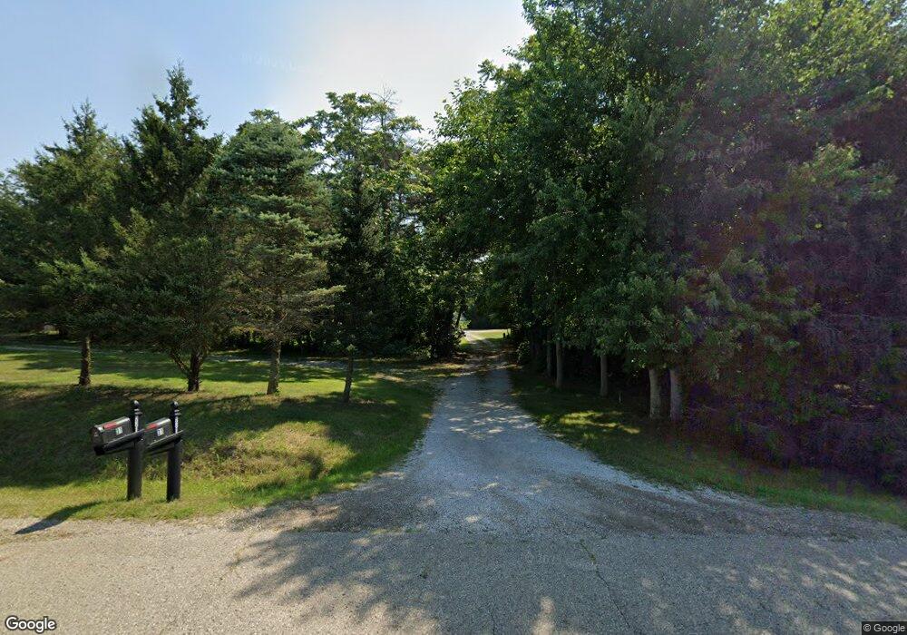
Estimated Value: $365,000 - $610,000
3
Beds
2
Baths
2,586
Sq Ft
$182/Sq Ft
Est. Value
About This Home
This home is located at 931 Anderson Rd, Niles, MI 49120 and is currently estimated at $471,342, approximately $182 per square foot. 931 Anderson Rd is a home located in Cass County with nearby schools including Edwardsburg Primary School, Eagle Lake Elementary School, and Edwardsburg Intermediate School.
Ownership History
Date
Name
Owned For
Owner Type
Purchase Details
Closed on
Jul 8, 2010
Sold by
Deutsche Bank National Trust Company
Bought by
Minix Mark D and Minix Nita M
Current Estimated Value
Purchase Details
Closed on
Feb 17, 2010
Sold by
James Kevin
Bought by
Deutsche Bank National Trust Company
Purchase Details
Closed on
Oct 31, 2006
Sold by
Shafer Jerry and Shafer Jerry
Bought by
James Kevin
Home Financials for this Owner
Home Financials are based on the most recent Mortgage that was taken out on this home.
Original Mortgage
$242,250
Interest Rate
8.5%
Create a Home Valuation Report for This Property
The Home Valuation Report is an in-depth analysis detailing your home's value as well as a comparison with similar homes in the area
Home Values in the Area
Average Home Value in this Area
Purchase History
| Date | Buyer | Sale Price | Title Company |
|---|---|---|---|
| Minix Mark D | $156,900 | Parks Title | |
| Deutsche Bank National Trust Company | $170,000 | None Available | |
| James Kevin | $255,000 | Meridian Title Corporation |
Source: Public Records
Mortgage History
| Date | Status | Borrower | Loan Amount |
|---|---|---|---|
| Previous Owner | James Kevin | $242,250 |
Source: Public Records
Tax History Compared to Growth
Tax History
| Year | Tax Paid | Tax Assessment Tax Assessment Total Assessment is a certain percentage of the fair market value that is determined by local assessors to be the total taxable value of land and additions on the property. | Land | Improvement |
|---|---|---|---|---|
| 2025 | $3,510 | $199,200 | $199,200 | $0 |
| 2024 | $1,532 | $196,400 | $196,400 | $0 |
| 2023 | $1,461 | $151,800 | $0 | $0 |
| 2022 | $1,392 | $165,300 | $0 | $0 |
| 2021 | $2,925 | $151,200 | $0 | $0 |
| 2020 | $2,904 | $146,800 | $0 | $0 |
| 2019 | $2,747 | $141,700 | $0 | $0 |
| 2018 | $1,281 | $129,200 | $0 | $0 |
| 2017 | $1,255 | $120,400 | $0 | $0 |
| 2016 | $1,244 | $115,779 | $0 | $0 |
| 2015 | -- | $122,900 | $0 | $0 |
| 2011 | -- | $124,900 | $0 | $0 |
Source: Public Records
Map
Nearby Homes
- 1033 Anderson Rd
- 66664 Conrad Rd
- 66601 Conrad Rd
- 66741 Conrad Rd
- 68162 Beebe Rd
- 27996 Pine Lake St
- 27134 Deerfield Ln
- 1002 Leet Rd
- 69260 Anderson Rd
- 3125 Detroit Rd
- 66082 Blackberry Rd
- 34 Maple Wood Dr
- 62,63 Maple Wood Dr
- 68398 Dailey Rd
- Tract 4 Dailey Rd
- 26828 W Main St
- 2760 Detroit Rd
- 26909 Church St
- 26464 Hamilton St
- 69218 Center St
- 947 Anderson Rd
- 925 Anderson Rd
- 921 Anderson Rd
- 951 Anderson Rd
- 915 Anderson Rd
- 0 Yankee Parcel 2 & 3 St Unit 69019035167
- 0 Yankee Parcel 2 & 3 St Unit 19035167
- 919 Anderson Rd
- 919 Anderson Rd
- 971 Anderson Rd
- 971 Anderson Rd
- 886 Anderson Rd
- 3230 Yankee St
- 3230 Yankee St
- 3298 Yankee St
- 3231 Yankee St
- 1015 Anderson Rd
- 882 Anderson Rd
- 3318 Yankee St
- 3260 Yankee St
