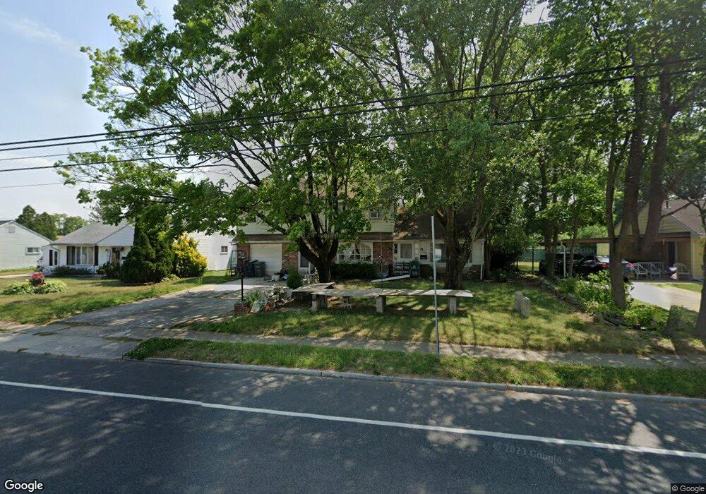
931 N Main St Williamstown, NJ 08094
Estimated Value: $204,000 - $438,000
Studio
--
Bath
2,788
Sq Ft
$110/Sq Ft
Est. Value
About This Home
This home is located at 931 N Main St, Williamstown, NJ 08094 and is currently estimated at $306,018, approximately $109 per square foot. 931 N Main St is a home located in Gloucester County with nearby schools including Williamstown High School, St. Mary School, and Finest of the Wheat Christian.
Ownership History
Date
Name
Owned For
Owner Type
Purchase Details
Closed on
Sep 24, 2025
Sold by
Walker Daniel E
Bought by
V & M Realty Collective Llc
Current Estimated Value
Home Financials for this Owner
Home Financials are based on the most recent Mortgage that was taken out on this home.
Original Mortgage
$316,625
Outstanding Balance
$272,106
Interest Rate
6.35%
Mortgage Type
Construction
Estimated Equity
$33,912
Purchase Details
Closed on
Jul 31, 2023
Sold by
Walker Judith A
Bought by
Walker Daniel E
Create a Home Valuation Report for This Property
The Home Valuation Report is an in-depth analysis detailing your home's value as well as a comparison with similar homes in the area
Home Values in the Area
Average Home Value in this Area
Purchase History
| Date | Buyer | Sale Price | Title Company |
|---|---|---|---|
| V & M Realty Collective Llc | $200,000 | American Land Title | |
| Walker Daniel E | -- | None Listed On Document | |
| Walker Daniel E | -- | None Listed On Document |
Source: Public Records
Mortgage History
| Date | Status | Borrower | Loan Amount |
|---|---|---|---|
| Open | V & M Realty Collective Llc | $316,625 |
Source: Public Records
Tax History
| Year | Tax Paid | Tax Assessment Tax Assessment Total Assessment is a certain percentage of the fair market value that is determined by local assessors to be the total taxable value of land and additions on the property. | Land | Improvement |
|---|---|---|---|---|
| 2025 | $7,386 | $201,700 | $50,400 | $151,300 |
| 2024 | $7,332 | $201,700 | $50,400 | $151,300 |
| 2023 | $7,332 | $201,700 | $50,400 | $151,300 |
| 2022 | $7,298 | $201,700 | $50,400 | $151,300 |
| 2021 | $7,344 | $201,700 | $50,400 | $151,300 |
| 2020 | $7,336 | $201,700 | $50,400 | $151,300 |
| 2019 | $7,291 | $201,700 | $50,400 | $151,300 |
| 2018 | $7,172 | $201,700 | $50,400 | $151,300 |
| 2017 | $7,870 | $222,200 | $57,200 | $165,000 |
| 2016 | $7,770 | $222,200 | $57,200 | $165,000 |
| 2015 | $7,548 | $222,200 | $57,200 | $165,000 |
| 2014 | $7,328 | $222,200 | $57,200 | $165,000 |
Source: Public Records
Map
Nearby Homes
- 151 E Lois Dr
- 24 W Lois Dr
- 53 Jobs Ln
- 651 Charlotte Ave
- 1103 Meadows Dr
- 0 N Black Horse Pike
- 217 May Ave
- 101 N Black Horse Pike
- 830 N Tuckahoe Rd
- 1311 N Main St
- 208 Brandywine Dr
- 408 Aberdeen Rd
- 23 Grandview Ave
- 13 S Main St
- 507 Doral Dr
- 1 Birchwood Ln
- 872 Black Horse Pike
- 516 Saint Martin Ct
- 515 Saint Kitts Dr
- 1261 N Tuckahoe Rd
Your Personal Tour Guide
Ask me questions while you tour the home.