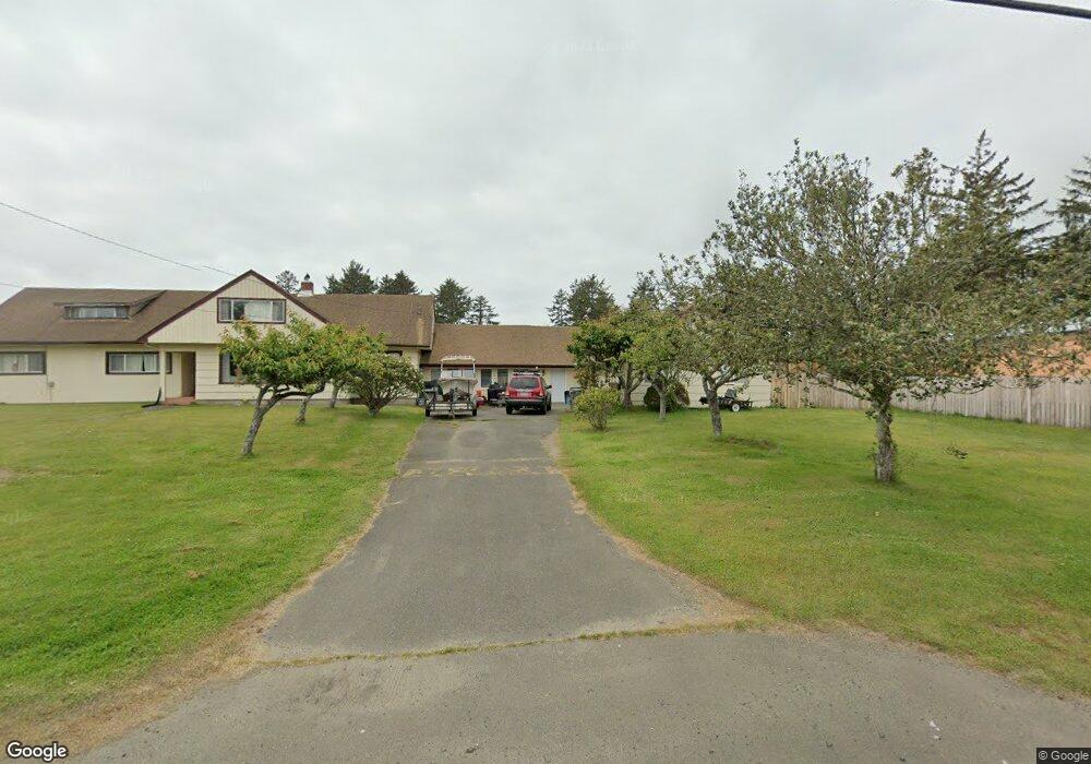
931 S Forrest St Westport, WA 98595
Estimated Value: $1,303,642
--
Bed
--
Bath
7,228
Sq Ft
$180/Sq Ft
Est. Value
About This Home
This home is located at 931 S Forrest St, Westport, WA 98595 and is currently estimated at $1,303,642, approximately $180 per square foot. 931 S Forrest St is a home located in Grays Harbor County with nearby schools including Ocosta Elementary School and Ocosta Junior/Senior High School.
Ownership History
Date
Name
Owned For
Owner Type
Purchase Details
Closed on
Jan 15, 2020
Sold by
Ater Lore Nelson
Bought by
Emmert Silver City 2 Llc
Current Estimated Value
Create a Home Valuation Report for This Property
The Home Valuation Report is an in-depth analysis detailing your home's value as well as a comparison with similar homes in the area
Home Values in the Area
Average Home Value in this Area
Purchase History
| Date | Buyer | Sale Price | Title Company |
|---|---|---|---|
| Emmert Silver City 2 Llc | $725,000 | Grays Harbor Title |
Source: Public Records
Tax History Compared to Growth
Tax History
| Year | Tax Paid | Tax Assessment Tax Assessment Total Assessment is a certain percentage of the fair market value that is determined by local assessors to be the total taxable value of land and additions on the property. | Land | Improvement |
|---|---|---|---|---|
| 2025 | $12,773 | $1,500,597 | $158,000 | $1,342,597 |
| 2023 | $13,421 | $595,232 | $158,000 | $437,232 |
| 2022 | $6,634 | $576,151 | $158,000 | $418,151 |
| 2021 | $6,793 | $576,151 | $158,000 | $418,151 |
| 2020 | $6,084 | $539,297 | $158,000 | $381,297 |
| 2019 | $5,727 | $462,703 | $134,550 | $328,153 |
| 2018 | $6,162 | $447,077 | $134,550 | $312,527 |
| 2017 | $4,728 | $429,527 | $117,000 | $312,527 |
| 2016 | -- | $401,115 | $117,000 | $284,115 |
| 2014 | -- | $408,620 | $156,000 | $252,620 |
Source: Public Records
Map
Nearby Homes
- 21 XX S Forrest St
- 710 S Hancock Ave Unit 419+
- 710 S Hancock Ave Unit 328
- 710 S Hancock Ave Unit 102&3
- 710 S Hancock Ave Unit 111
- 710 S Hancock Ave Unit 301
- 710 S Hancock Ave Unit 308
- 802 S Forrest St Unit 16
- 802 S Forrest St Unit 1
- 522 W Newell Ave
- 520 W Newell Ave
- 500 Starr St
- 0 XX Starr St
- 608 S Forrest St
- 603 W Veterans Ave
- 1213 Johnson St
- 800 S Melbourne St
- 1306 Melbourne Ct
- 507 W Veterans Ave
- 711 S Broadway
- 1005 S Forrest St
- 1920 S Forrest St
- 24 XX S Forrest St
- 20 XX S Forrest St
- 8 XX Grand Army
- 8 Grand Army
- 1019 S Forrest St
- 920 Jetty View
- 910 Jetty View Dr
- 1 Aberdeen St
- 715 S Forrest St
- 1210 S Forrest St
- 1023 S Forrest St
- 922 S Forrest St
- 1021 S Forrest St
- 920 S Forrest St
- 906 Jetty View
- 913 Jetty View
- 1101 Aberdeen
- 909 Jetty View Dr