931 Stover Rd West Alexandria, OH 45381
Estimated Value: $423,000 - $555,000
3
Beds
2
Baths
2,317
Sq Ft
$206/Sq Ft
Est. Value
About This Home
This home is located at 931 Stover Rd, West Alexandria, OH 45381 and is currently estimated at $477,012, approximately $205 per square foot. 931 Stover Rd is a home located in Preble County with nearby schools including Twin Valley South Elementary School, Twin Valley South Middle School, and Twin Valley South High School.
Ownership History
Date
Name
Owned For
Owner Type
Purchase Details
Closed on
May 2, 2014
Sold by
Weir Jeffrey L and Weir Karen
Bought by
Shufeldt David O and Shufeldt Carol E
Current Estimated Value
Home Financials for this Owner
Home Financials are based on the most recent Mortgage that was taken out on this home.
Original Mortgage
$259,000
Interest Rate
4.41%
Mortgage Type
VA
Purchase Details
Closed on
Jun 6, 1994
Sold by
Grubb Donna
Bought by
Weir Jeffrey L
Home Financials for this Owner
Home Financials are based on the most recent Mortgage that was taken out on this home.
Original Mortgage
$63,000
Interest Rate
8.25%
Mortgage Type
New Conventional
Create a Home Valuation Report for This Property
The Home Valuation Report is an in-depth analysis detailing your home's value as well as a comparison with similar homes in the area
Home Values in the Area
Average Home Value in this Area
Purchase History
| Date | Buyer | Sale Price | Title Company |
|---|---|---|---|
| Shufeldt David O | $259,000 | Buckeye Title | |
| Weir Jeffrey L | $148,000 | -- |
Source: Public Records
Mortgage History
| Date | Status | Borrower | Loan Amount |
|---|---|---|---|
| Previous Owner | Shufeldt David O | $259,000 | |
| Previous Owner | Weir Jeffrey L | $63,000 |
Source: Public Records
Tax History Compared to Growth
Tax History
| Year | Tax Paid | Tax Assessment Tax Assessment Total Assessment is a certain percentage of the fair market value that is determined by local assessors to be the total taxable value of land and additions on the property. | Land | Improvement |
|---|---|---|---|---|
| 2024 | $4,392 | $128,390 | $22,300 | $106,090 |
| 2023 | $4,392 | $128,390 | $22,300 | $106,090 |
| 2022 | $3,622 | $100,450 | $20,860 | $79,590 |
| 2021 | $3,933 | $100,450 | $20,860 | $79,590 |
| 2020 | $3,763 | $100,450 | $20,860 | $79,590 |
| 2019 | $3,287 | $85,830 | $17,400 | $68,430 |
| 2018 | $3,404 | $85,830 | $17,400 | $68,430 |
| 2017 | $3,295 | $85,830 | $17,400 | $68,430 |
| 2016 | $2,719 | $76,100 | $16,910 | $59,190 |
| 2014 | $1,330 | $76,100 | $16,910 | $59,190 |
| 2013 | $1,330 | $77,770 | $16,905 | $60,865 |
Source: Public Records
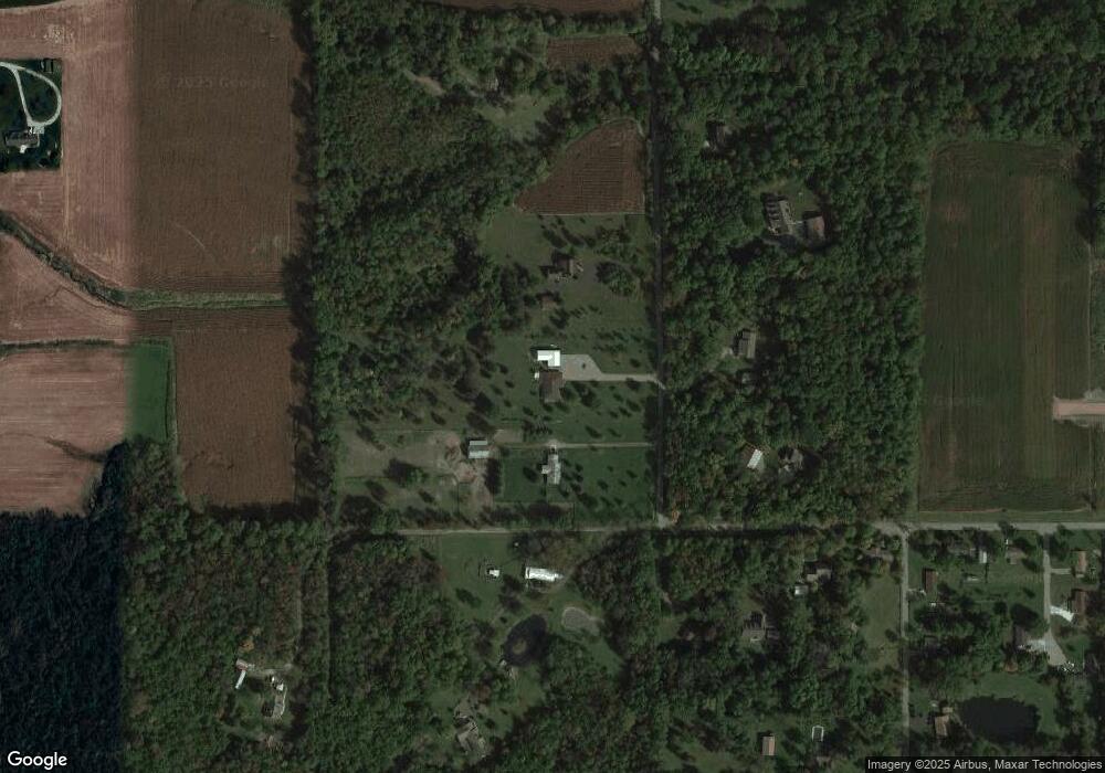
Map
Nearby Homes
- 1020 Howard Ct
- 3659 Winston Ln
- 1389 Leon Dr
- 4801 Fisher Twin Rd
- 10 Western Dr
- 60 Hope Ave
- 37 Smith St
- 0 U S 35
- 36 E 3rd St
- 52 E 2nd St
- 212 E 3rd St
- 99 Katherine Dr
- The Heath House Plan at Meadowbrook Estates
- The Aspen House Plan at Meadowbrook Estates
- The Reed II House Plan at Meadowbrook Estates
- The Rowan House Plan at Meadowbrook Estates
- The Linden House Plan at Meadowbrook Estates
- The Sequoia House Plan at Meadowbrook Estates
- 86 Snapdragon Dr
- 1148 State Route 503 N