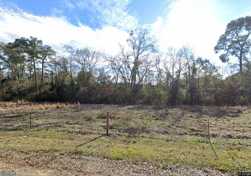
931 Tobacco Rd Attapulgus, GA 39815
Estimated Value: $253,288 - $426,000
5
Beds
3
Baths
3,878
Sq Ft
$90/Sq Ft
Est. Value
About This Home
This home is located at 931 Tobacco Rd, Attapulgus, GA 39815 and is currently estimated at $347,572, approximately $89 per square foot. 931 Tobacco Rd is a home located in Decatur County with nearby schools including Bainbridge High School.
Ownership History
Date
Name
Owned For
Owner Type
Purchase Details
Closed on
Feb 20, 2013
Sold by
Brown Joe
Bought by
Jaro Cindy L
Current Estimated Value
Home Financials for this Owner
Home Financials are based on the most recent Mortgage that was taken out on this home.
Original Mortgage
$153,000
Outstanding Balance
$107,054
Interest Rate
3.43%
Mortgage Type
New Conventional
Estimated Equity
$240,518
Create a Home Valuation Report for This Property
The Home Valuation Report is an in-depth analysis detailing your home's value as well as a comparison with similar homes in the area
Home Values in the Area
Average Home Value in this Area
Purchase History
| Date | Buyer | Sale Price | Title Company |
|---|---|---|---|
| Jaro Cindy L | $170,000 | -- |
Source: Public Records
Mortgage History
| Date | Status | Borrower | Loan Amount |
|---|---|---|---|
| Open | Jaro Cindy L | $153,000 |
Source: Public Records
Tax History Compared to Growth
Tax History
| Year | Tax Paid | Tax Assessment Tax Assessment Total Assessment is a certain percentage of the fair market value that is determined by local assessors to be the total taxable value of land and additions on the property. | Land | Improvement |
|---|---|---|---|---|
| 2024 | $2,108 | $76,889 | $8,866 | $68,023 |
| 2023 | $2,408 | $79,948 | $8,866 | $71,082 |
| 2022 | $2,211 | $75,988 | $6,366 | $69,622 |
| 2021 | $2,005 | $67,619 | $5,853 | $61,766 |
| 2020 | $1,934 | $61,907 | $5,853 | $56,054 |
| 2019 | $2,008 | $61,907 | $5,853 | $56,054 |
| 2018 | $1,983 | $61,907 | $5,853 | $56,054 |
| 2017 | $1,943 | $61,907 | $5,853 | $56,054 |
| 2016 | $1,940 | $61,833 | $5,779 | $56,054 |
| 2015 | $1,967 | $61,833 | $5,779 | $56,054 |
| 2014 | $1,716 | $61,833 | $5,779 | $56,054 |
| 2013 | -- | $61,832 | $5,779 | $56,053 |
Source: Public Records
Map
Nearby Homes
- 110 E Griffin Ave
- Lot 33 McGriff St
- 0 Clay St
- 630 Boyette Cir
- 90 David Clemons Rd
- 140 David Clemons Rd
- 8701 Salem Rd
- 226 My St
- 2065 Wayside Farm Rd
- 185 Maggies Dr
- 7667 Tallahassee Hwy
- 290 Schwall Rd
- 0 Pt Milligan Rd Unit 778755
- 0 Fla-Ga Hwy Unit 355337
- 9778 Florida Georgia Hwy
- 715 Attapulgus Climax Rd
- 3667 Lake Douglas Rd
- 48 Blue Bird Ct
- 114 Emily Ln
- 235 2nd Ave
- 915 Tobacco Rd
- 405 Rollins St
- 411 Rollins St
- 401 Rollins St
- 811 Woodland Ave
- 804 Woodland Ave
- Lot16 Stickland Rd Unit 16
- 603 Woodland Ave
- 629 Woodland Ave
- 619 Woodland Ave
- 616 Woodland Ave
- 615 Woodland Ave
- 611 Woodland Ave
- 690 E Griffin Ave
- 305 Wood St
- 609 Woodland Ave
- 602 Woodland Ave
- 696 E Griffin Ave
- 309 S Wilson St
- 218 Wood St
