Estimated Value: $908,000 - $1,003,015
4
Beds
3
Baths
4,261
Sq Ft
$230/Sq Ft
Est. Value
About This Home
This home is located at 931 W 1280 N, Lehi, UT 84043 and is currently estimated at $978,254, approximately $229 per square foot. 931 W 1280 N is a home located in Utah County with nearby schools including Lehi Elementary School, Lehi Junior High School, and Lehi High School.
Ownership History
Date
Name
Owned For
Owner Type
Purchase Details
Closed on
Feb 8, 2024
Sold by
Real Homeownership Trust
Bought by
Ellison Cody
Current Estimated Value
Home Financials for this Owner
Home Financials are based on the most recent Mortgage that was taken out on this home.
Original Mortgage
$760,000
Outstanding Balance
$746,569
Interest Rate
6.61%
Mortgage Type
New Conventional
Estimated Equity
$231,685
Purchase Details
Closed on
Feb 5, 2024
Sold by
Bengtzen Brayden
Bought by
Real Homeownership Trust
Home Financials for this Owner
Home Financials are based on the most recent Mortgage that was taken out on this home.
Original Mortgage
$760,000
Outstanding Balance
$746,569
Interest Rate
6.61%
Mortgage Type
New Conventional
Estimated Equity
$231,685
Purchase Details
Closed on
Sep 8, 2022
Sold by
Brayden Bengtzen
Bought by
Real Homeownership Trust and Federal Savings Bank
Create a Home Valuation Report for This Property
The Home Valuation Report is an in-depth analysis detailing your home's value as well as a comparison with similar homes in the area
Home Values in the Area
Average Home Value in this Area
Purchase History
| Date | Buyer | Sale Price | Title Company |
|---|---|---|---|
| Ellison Cody | -- | Traveling Title | |
| Real Homeownership Trust | -- | Traveling Title | |
| Real Homeownership Trust | $1,025,000 | -- | |
| Bengtzen Brayden | $1,025,000 | -- |
Source: Public Records
Mortgage History
| Date | Status | Borrower | Loan Amount |
|---|---|---|---|
| Open | Ellison Cody | $760,000 |
Source: Public Records
Tax History Compared to Growth
Tax History
| Year | Tax Paid | Tax Assessment Tax Assessment Total Assessment is a certain percentage of the fair market value that is determined by local assessors to be the total taxable value of land and additions on the property. | Land | Improvement |
|---|---|---|---|---|
| 2025 | $3,570 | $469,425 | $216,700 | $636,800 |
| 2024 | $3,570 | $417,835 | $0 | $0 |
| 2023 | $3,388 | $430,485 | $0 | $0 |
| 2022 | $1,628 | $200,600 | $200,600 | $0 |
| 2021 | $1,224 | $125,400 | $125,400 | $0 |
Source: Public Records
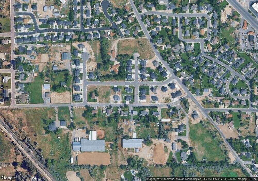
Map
Nearby Homes
- 1301 N 900 W Unit 12
- 902 W 1500 N
- 1094 W 1425 N
- 1610 N 1125 W
- 1817 W Bad Rock Cir
- 1132 Titan Dr
- 1332 W 1500 N
- 1032 Titan Dr
- 1011 W Mountain Way Unit 316
- 1249 W 1800 N
- 1272 W 1800 N
- 1127 N 1500 W
- 578 N Woods Dr
- 443 W 820 N
- 1627 W Boxwood Dr Unit 110
- 1659 W Boxwood Dr Unit 109
- 1150 N 200 W Unit 6
- 996 N 200 W
- 1755 N 250 W
- 155 W State St Unit TRLR 3
- 931 W 1280 N Unit 26
- 932 W 1220 N
- 932 W 1220 N Unit 31
- 955 W 1280 N Unit 27
- 897 W 1280 N Unit 25
- 954 W 1220 N Unit 30
- 892 W 1220 N Unit 32
- 1301 900 W Unit 12
- 1315 N 900 W
- 951 W 1220 N
- 951 W 1220 N Unit 1C
- 919 W 1220 N
- 851 W 1280 N Unit 23
- 851 W 1280 N Unit 24
- 1314 N 900 W
- 887 W 1220 N
- 959 W 1220 N
- 848 W 1220 N Unit 33
- 858 W 1280 N
- 1330 N 900 W