931 Weed St New Canaan, CT 06840
Estimated Value: $5,138,000 - $5,715,000
6
Beds
8
Baths
6,958
Sq Ft
$787/Sq Ft
Est. Value
About This Home
This home is located at 931 Weed St, New Canaan, CT 06840 and is currently estimated at $5,477,347, approximately $787 per square foot. 931 Weed St is a home with nearby schools including West Elementary School, Saxe Middle School, and New Canaan High School.
Ownership History
Date
Name
Owned For
Owner Type
Purchase Details
Closed on
Mar 30, 2015
Sold by
Betts Bertha R
Bought by
Lord Robert W and Lord Robin B
Current Estimated Value
Create a Home Valuation Report for This Property
The Home Valuation Report is an in-depth analysis detailing your home's value as well as a comparison with similar homes in the area
Home Values in the Area
Average Home Value in this Area
Purchase History
| Date | Buyer | Sale Price | Title Company |
|---|---|---|---|
| Lord Robert W | $1,450,000 | -- |
Source: Public Records
Mortgage History
| Date | Status | Borrower | Loan Amount |
|---|---|---|---|
| Open | Lord Robert W | $1,000,000 | |
| Closed | Lord Robert W | $742,000 | |
| Closed | Lord Robert W | $750,000 |
Source: Public Records
Tax History Compared to Growth
Tax History
| Year | Tax Paid | Tax Assessment Tax Assessment Total Assessment is a certain percentage of the fair market value that is determined by local assessors to be the total taxable value of land and additions on the property. | Land | Improvement |
|---|---|---|---|---|
| 2025 | $61,982 | $3,713,710 | $1,148,700 | $2,565,010 |
| 2024 | $59,939 | $3,713,710 | $1,148,700 | $2,565,010 |
| 2023 | $52,242 | $2,758,280 | $927,290 | $1,830,990 |
| 2022 | $50,670 | $2,758,280 | $927,290 | $1,830,990 |
| 2021 | $50,090 | $2,758,280 | $927,290 | $1,830,990 |
| 2020 | $50,090 | $2,758,280 | $927,290 | $1,830,990 |
| 2019 | $50,311 | $2,758,280 | $927,290 | $1,830,990 |
| 2018 | $46,793 | $2,759,050 | $959,140 | $1,799,910 |
| 2017 | $39,453 | $2,366,700 | $959,140 | $1,407,560 |
| 2016 | $15,644 | $959,140 | $959,140 | $0 |
Source: Public Records
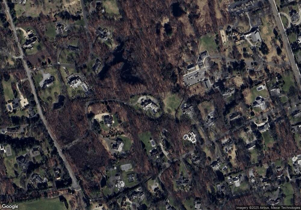
Map
Nearby Homes
- 204 Parade Hill Rd
- 101 Parade Hill Rd
- 42 Forest St Unit A
- 61 Smith Ridge Rd
- 145 River St
- 52 Garibaldi Ln
- 15 Burtis Ave Unit Townhome D
- 15 Burtis Ave Unit West Penthouse B
- 15 Burtis Ave Unit East Penthouse C
- 15 Burtis Ave Unit Townhome A
- 15 Burtis Ave Unit East Plaza 203
- 197 Park St Unit 13
- 60 East Ave
- 64 East Ave
- 565 Oenoke Ridge
- 276 Greenley Rd
- 48 Brookwood Ln
- 298 Greenley Rd
- 180 Summer St
- 317 Park St
- 929 Weed St
- 927 Weed St
- 83 Gerrish Ln
- 115 Gerrish Ln
- 49 Sunset Hill Rd
- 121 Gerrish Ln
- 91 Gerrish Ln
- 33 Sunset Hill Rd
- 887 Weed St
- 71 Gerrish Ln
- 65 Sunset Hill Rd
- 124 Gerrish Ln
- 112 Gerrish Ln
- 145 Kimberly Place
- 94 Gerrish Ln
- 11 Sunset Hill Rd
- 36 Sunset Hill Rd
- 49 Gerrish Ln
- 144 Kimberly Place
- 86 Gerrish Ln