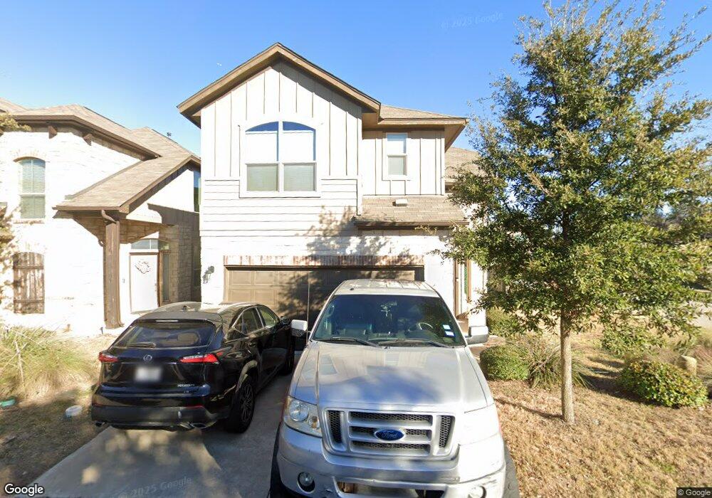
9311 Lost Bridge Ln Unit 52 Austin, TX 78748
Slaughter Creek NeighborhoodEstimated Value: $384,460 - $423,000
3
Beds
3
Baths
1,692
Sq Ft
$237/Sq Ft
Est. Value
About This Home
This home is located at 9311 Lost Bridge Ln Unit 52, Austin, TX 78748 and is currently estimated at $401,115, approximately $237 per square foot. 9311 Lost Bridge Ln Unit 52 is a home located in Travis County with nearby schools including Casey Elementary School, Akins High School, and Valor South Austin.
Ownership History
Date
Name
Owned For
Owner Type
Purchase Details
Closed on
Jul 14, 2015
Sold by
Milestone Community Builders Llc
Bought by
Mccormick Colin Michael and Mccormick Laura Marett
Current Estimated Value
Home Financials for this Owner
Home Financials are based on the most recent Mortgage that was taken out on this home.
Original Mortgage
$224,200
Outstanding Balance
$175,123
Interest Rate
3.91%
Mortgage Type
New Conventional
Estimated Equity
$225,992
Purchase Details
Closed on
Jan 30, 2015
Sold by
Milestone Community Builders Llc
Bought by
Franklin Jerl
Create a Home Valuation Report for This Property
The Home Valuation Report is an in-depth analysis detailing your home's value as well as a comparison with similar homes in the area
Home Values in the Area
Average Home Value in this Area
Purchase History
| Date | Buyer | Sale Price | Title Company |
|---|---|---|---|
| Mccormick Colin Michael | -- | Graystone Title | |
| Franklin Jerl | -- | Graystone Title |
Source: Public Records
Mortgage History
| Date | Status | Borrower | Loan Amount |
|---|---|---|---|
| Open | Mccormick Colin Michael | $224,200 |
Source: Public Records
Tax History Compared to Growth
Tax History
| Year | Tax Paid | Tax Assessment Tax Assessment Total Assessment is a certain percentage of the fair market value that is determined by local assessors to be the total taxable value of land and additions on the property. | Land | Improvement |
|---|---|---|---|---|
| 2025 | $6,398 | $385,050 | $36,121 | $348,929 |
| 2023 | $5,237 | $372,269 | $0 | $0 |
| 2022 | $6,684 | $338,426 | $0 | $0 |
| 2021 | $6,697 | $307,660 | $35,837 | $271,823 |
| 2020 | $6,243 | $291,056 | $35,837 | $255,219 |
| 2018 | $6,536 | $295,219 | $35,837 | $259,382 |
| 2017 | $6,366 | $285,473 | $33,328 | $252,145 |
| 2016 | $743 | $33,328 | $33,328 | $0 |
| 2015 | -- | $33,323 | $33,323 | $0 |
Source: Public Records
Map
Nearby Homes
- 9302 Tanager Way
- 1010 Boatswain Way
- 915 Totis Rd
- 9003 Acorn Cup Dr Unit 34
- 907 Totis Rd
- 808 Totis Rd
- 9229 Independence Loop
- 9311 Independence Loop
- 800 Totis Rd
- 9313 Independence Loop
- 9110 Chisholm Ln
- 808 Minturn Ln
- 10005 Milton Albert Way
- 1012 Legend Milton Ln
- 8615 Croydon Loop
- 1517 Waxberry Ln
- 1400 O K Corral
- 9125 Texas Sun Dr
- 9121 Sweetgum Dr Unit 158
- 9113 Sweetgum Dr Unit 160
- 9311 Lost Bridge Ln
- 9309 Lost Bridge Ln
- 9310 Tanager Way
- 9307 Lost Bridge Ln
- 9308 Tanager Way
- 9308 Tanager Way
- 9306 Tanager Way
- 9310 Lost Bridge Ln
- 9305 Lost Bridge Ln
- 9308 Lost Bridge Ln
- 9306 Tanager Way
- 9400 Ocean Going Ct
- 9313 Tanager Way
- 9305 Tanager Way
- 9304 Tanager Way
- 9309 Tanager Way
- 9304 Tanager Way
- 9315 Tanager Way
- 9304 Lost Bridge Ln
- 9303 Lost Bridge Ln