9311 Mason Rd Cheyenne, WY 82009
Ranchettes NeighborhoodEstimated Value: $572,000 - $608,000
--
Bed
1
Bath
2,620
Sq Ft
$225/Sq Ft
Est. Value
About This Home
This home is located at 9311 Mason Rd, Cheyenne, WY 82009 and is currently estimated at $590,796, approximately $225 per square foot. 9311 Mason Rd is a home located in Laramie County with nearby schools including Anderson Elementary School, Carey Junior High School, and East High School.
Ownership History
Date
Name
Owned For
Owner Type
Purchase Details
Closed on
Sep 2, 2021
Sold by
Pitt Marie A
Bought by
Pitt Marie A and Marie A Pitt Revocable Trust
Current Estimated Value
Purchase Details
Closed on
Nov 1, 2002
Sold by
Sternfield Cris P and Read Cris P
Bought by
Pitt Marie A
Home Financials for this Owner
Home Financials are based on the most recent Mortgage that was taken out on this home.
Original Mortgage
$119,000
Interest Rate
6%
Create a Home Valuation Report for This Property
The Home Valuation Report is an in-depth analysis detailing your home's value as well as a comparison with similar homes in the area
Home Values in the Area
Average Home Value in this Area
Purchase History
| Date | Buyer | Sale Price | Title Company |
|---|---|---|---|
| Pitt Marie A | -- | None Available | |
| Pitt Marie A | -- | -- |
Source: Public Records
Mortgage History
| Date | Status | Borrower | Loan Amount |
|---|---|---|---|
| Closed | Pitt Marie A | $119,000 |
Source: Public Records
Tax History Compared to Growth
Tax History
| Year | Tax Paid | Tax Assessment Tax Assessment Total Assessment is a certain percentage of the fair market value that is determined by local assessors to be the total taxable value of land and additions on the property. | Land | Improvement |
|---|---|---|---|---|
| 2025 | $3,035 | $23,302 | $4,307 | $18,995 |
| 2024 | $3,035 | $45,153 | $8,614 | $36,539 |
| 2023 | $2,875 | $43,748 | $8,614 | $35,134 |
| 2022 | $2,481 | $36,929 | $7,656 | $29,273 |
| 2021 | $2,306 | $34,237 | $8,030 | $26,207 |
| 2020 | $2,349 | $34,993 | $9,360 | $25,633 |
| 2019 | $2,195 | $32,660 | $8,775 | $23,885 |
| 2018 | $2,015 | $30,292 | $8,129 | $22,163 |
| 2017 | $1,790 | $26,646 | $5,425 | $21,221 |
| 2016 | $1,748 | $26,010 | $5,334 | $20,676 |
| 2015 | $1,682 | $25,022 | $5,334 | $19,688 |
| 2014 | $1,665 | $24,602 | $5,334 | $19,268 |
Source: Public Records
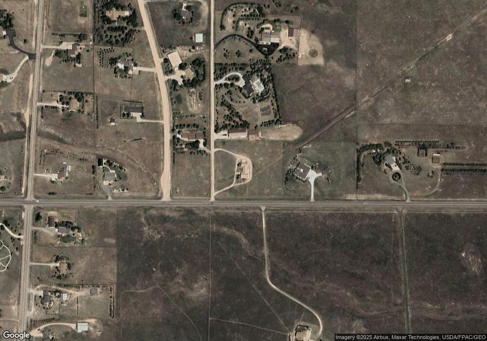
Map
Nearby Homes
- 9404 Wayne Rd
- 1745 Silver Spur Rd
- 8012 Bobcat Rd
- 8007 Kepler Dr
- TBD Kepler Dr
- 5124 Sullivan St
- 8704 Cowpoke Rd
- 1348 Jessi Dr
- 1348 Jack Ln
- 1336 Jessi Dr
- 1218 Wendy Ln
- 1316 Jessi Dr
- 7612 Danni Marie Cir
- 1236 Jessi Dr
- 2918 Sitting Bull Rd
- 714 E Ole Maverick Rd
- 1213 Alyssa Way
- 724 E Powell Rd
- 1121 Alyssa Way
- 7115 Macy Place
- 2402 E Riding Club Rd
- 9317 Carbine Trail
- 9501 Mason Rd
- 9503 Carbine Trail
- 9408 Carbine Trail
- 9601 Mason Rd
- 2212 E Riding Club Rd
- 2420 E Riding Club Rd
- 9508 Carbine Trail
- 9607 Carbine Trail
- 2345 E Riding Club Rd
- 9309 Powderhouse Rd
- 9407 Powderhouse Rd
- 9217 Powderhouse Rd
- 9705 Carbine Trail
- 9610 Carbine Trail
- 9211 Powderhouse Rd
- 9511 Powderhouse Rd
- Tract 42 W Riding Club Rd
- 9203 Powderhouse Rd