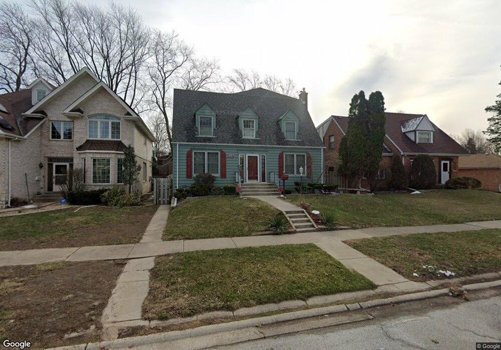
9317 S 51st Ave Oak Lawn, IL 60453
Estimated Value: $328,000 - $409,855
4
Beds
3
Baths
1,641
Sq Ft
$221/Sq Ft
Est. Value
About This Home
This home is located at 9317 S 51st Ave, Oak Lawn, IL 60453 and is currently estimated at $362,964, approximately $221 per square foot. 9317 S 51st Ave is a home located in Cook County with nearby schools including J Covington Elementary School, Hometown Elementary School, and Sward Elementary School.
Ownership History
Date
Name
Owned For
Owner Type
Purchase Details
Closed on
Sep 7, 2021
Sold by
Chicago Title Land Trust Company
Bought by
Coleman Kyle J and Montijo Karyn
Current Estimated Value
Home Financials for this Owner
Home Financials are based on the most recent Mortgage that was taken out on this home.
Original Mortgage
$338,222
Interest Rate
3.12%
Mortgage Type
FHA
Purchase Details
Closed on
May 10, 2004
Sold by
Nevills Phillip M and Nevills Carol A
Bought by
Cole Taylor Bank and Trust #2580
Purchase Details
Closed on
Oct 29, 2002
Sold by
Nevills Phillip M and Nevills Carol A
Bought by
Cole Taylor Bank and Trust #2580
Purchase Details
Closed on
Sep 3, 2002
Sold by
Cole Taylor Bank
Bought by
Nevills Philip M and Nevills Carol A
Create a Home Valuation Report for This Property
The Home Valuation Report is an in-depth analysis detailing your home's value as well as a comparison with similar homes in the area
Home Values in the Area
Average Home Value in this Area
Purchase History
| Date | Buyer | Sale Price | Title Company |
|---|---|---|---|
| Coleman Kyle J | $350,000 | Fidelity National Title | |
| Cole Taylor Bank | -- | -- | |
| Cole Taylor Bank | -- | -- | |
| Nevills Philip M | -- | Lawyers Title Insurance Corp |
Source: Public Records
Mortgage History
| Date | Status | Borrower | Loan Amount |
|---|---|---|---|
| Previous Owner | Coleman Kyle J | $338,222 |
Source: Public Records
Tax History Compared to Growth
Tax History
| Year | Tax Paid | Tax Assessment Tax Assessment Total Assessment is a certain percentage of the fair market value that is determined by local assessors to be the total taxable value of land and additions on the property. | Land | Improvement |
|---|---|---|---|---|
| 2024 | $4,282 | $14,000 | $2,205 | $11,795 |
| 2023 | $3,585 | $14,000 | $2,205 | $11,795 |
| 2022 | $3,585 | $9,466 | $1,890 | $7,576 |
| 2021 | $2,396 | $9,465 | $1,890 | $7,575 |
| 2020 | $2,422 | $9,465 | $1,890 | $7,575 |
| 2019 | $2,271 | $9,349 | $1,732 | $7,617 |
| 2018 | $2,183 | $9,349 | $1,732 | $7,617 |
| 2017 | $2,206 | $9,349 | $1,732 | $7,617 |
| 2016 | $2,237 | $8,248 | $1,417 | $6,831 |
| 2015 | $2,174 | $8,248 | $1,417 | $6,831 |
| 2014 | $2,166 | $8,248 | $1,417 | $6,831 |
| 2013 | $2,263 | $9,288 | $1,417 | $7,871 |
Source: Public Records
Map
Nearby Homes
- 9330 S 50th Ave
- 9336 Tulley Ave
- 9402 Sproat Ave
- 9418 Tulley Ave
- 9212 S 49th Ct
- 9246 S 49th Ave
- 9439 S 52nd Ave
- 5232 Cass St
- 9221 Raymond Ave
- 9135 S 53rd Ave
- 9209 S 53rd Ct
- 9047 S 50th Ave
- 5100 W 96th St Unit 204
- 5100 W 96th St Unit 442
- 5100 W 96th St Unit 524
- 9600 S 51st Ave
- 9535 S 53rd Ave Unit 3S
- 9005 S 49th Ct
- 9617 Brandt Ave
- 5316 Otto Place
- 9317 S 51st Ave
- 9319 S 51st Ave
- 9319 S 51st Ave
- 9311 S 51st Ave
- 9325 S 51st Ave
- 9325 S 51st Ave
- 9307 S 51st Ave
- 9329 S 51st Ave
- 9329 S 51st Ave
- 9316 Sproat Ave
- 9320 Sproat Ave
- 9320 Sproat Ave
- 9301 S 51st Ave
- 9301 S 51st Ave
- 9301 S 51st Ave
- 9326 Sproat Ave
- 9326 Sproat Ave
- 9306 Sproat Ave
- 9333 S 51st Ave
- 9316 S 51st Ave