932 Barnard College Ln Saint Louis, MO 63130
Estimated Value: $435,145 - $498,000
3
Beds
3
Baths
2,140
Sq Ft
$213/Sq Ft
Est. Value
About This Home
This home is located at 932 Barnard College Ln, Saint Louis, MO 63130 and is currently estimated at $455,786, approximately $212 per square foot. 932 Barnard College Ln is a home located in St. Louis County with nearby schools including Jackson Park Elementary School, Brittany Woods Middle School, and University City High School.
Ownership History
Date
Name
Owned For
Owner Type
Purchase Details
Closed on
Aug 30, 2018
Sold by
Boone Michael D and Doss Thomas A
Bought by
Boone Michael D and Doss Thomas A
Current Estimated Value
Home Financials for this Owner
Home Financials are based on the most recent Mortgage that was taken out on this home.
Original Mortgage
$177,000
Outstanding Balance
$153,785
Interest Rate
4.52%
Estimated Equity
$302,001
Create a Home Valuation Report for This Property
The Home Valuation Report is an in-depth analysis detailing your home's value as well as a comparison with similar homes in the area
Home Values in the Area
Average Home Value in this Area
Purchase History
| Date | Buyer | Sale Price | Title Company |
|---|---|---|---|
| Boone Michael D | $208,200 | -- |
Source: Public Records
Mortgage History
| Date | Status | Borrower | Loan Amount |
|---|---|---|---|
| Open | Boone Michael D | $177,000 | |
| Closed | Boone Michael D | -- |
Source: Public Records
Tax History Compared to Growth
Tax History
| Year | Tax Paid | Tax Assessment Tax Assessment Total Assessment is a certain percentage of the fair market value that is determined by local assessors to be the total taxable value of land and additions on the property. | Land | Improvement |
|---|---|---|---|---|
| 2025 | $4,880 | $72,700 | $21,170 | $51,530 |
| 2024 | $4,880 | $68,570 | $13,600 | $54,970 |
| 2023 | $4,874 | $68,570 | $13,600 | $54,970 |
| 2022 | $5,089 | $66,750 | $21,170 | $45,580 |
| 2021 | $5,037 | $66,750 | $21,170 | $45,580 |
| 2020 | $5,289 | $68,330 | $24,210 | $44,120 |
| 2019 | $5,238 | $68,330 | $24,210 | $44,120 |
| 2018 | $4,496 | $54,160 | $18,150 | $36,010 |
| 2017 | $4,506 | $54,160 | $18,150 | $36,010 |
| 2016 | $4,820 | $55,500 | $15,120 | $40,380 |
| 2015 | $4,841 | $55,500 | $15,120 | $40,380 |
| 2014 | $5,183 | $58,460 | $19,150 | $39,310 |
Source: Public Records
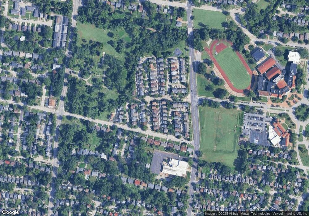
Map
Nearby Homes
- 7634 Balson Ave
- 7584 Amherst Ave
- 7478 Drexel Dr
- 7723 Wild Plum Ln
- 1059 N and South Rd
- 7475 Drexel Dr
- 7484 Gannon Ave
- 7350 Dartmouth Ave
- 1077 N Jackson Ave
- 7818 Stanford Ave
- 1101 W Parkedge Ln
- 7742 Elene Ave
- 7343 Drexel Dr
- 7400 Gannon Ave
- 7843 Cornell Ave
- 7510 Teasdale Ave
- 7432 Delmar Blvd
- 7814 Gannon Ave
- 946 Abbeville Dr
- 7498 Teasdale Ave
- 938 Barnard College Ln
- 926 Barnard College Ln
- 920 Barnard College Ln
- 927 Morehouse Ln
- 931 Morehouse Ln
- 923 Morehouse Ln
- 919 Morehouse Ln
- 935 Barnard College Ln
- 923 Barnard College Ln
- 914 Barnard College Ln
- 950 Barnard College Ln
- 915 Morehouse Ln
- 917 Barnard College Ln
- 908 Barnard College Ln
- 911 Barnard College Ln
- 953 Barnard College Ln
- 911 Morehouse Ln
- 7530 Balson Ave
- 943 Morehouse Ln
- 7616 Balson Ave