Estimated Value: $124,974 - $160,000
2
Beds
1
Bath
816
Sq Ft
$168/Sq Ft
Est. Value
About This Home
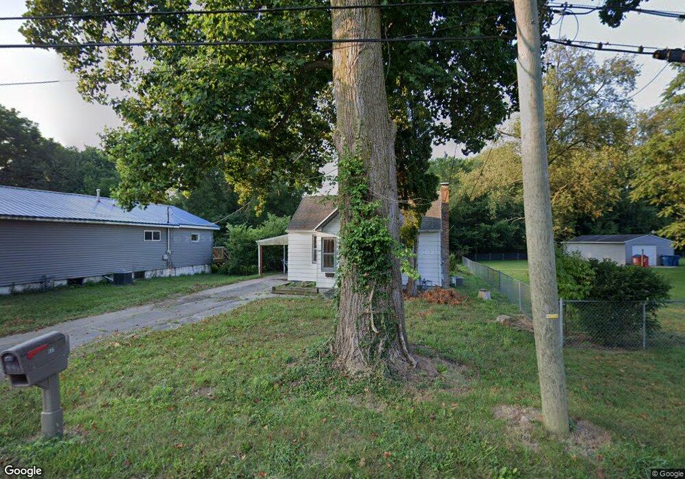
This home is located at 932 Birch St, Niles, MI 49120 and is currently estimated at $137,494, approximately $168 per square foot. 932 Birch St is a home located in Berrien County with nearby schools including Ballard Elementary School, Oak Manor Sixth Grade Center, and Ring Lardner Middle School.
Ownership History
Date
Name
Owned For
Owner Type
Purchase Details
Closed on
Jun 17, 2024
Sold by
Faith Properties 2005 Llc
Bought by
Berrien County Treasurer
Current Estimated Value
Purchase Details
Closed on
Jun 14, 2024
Sold by
Faith Properties 2005 Llc
Bought by
Berrien County Treasurer
Purchase Details
Closed on
Jan 19, 2006
Sold by
Purkhiser Diann Marie
Bought by
Faith Properties 2005 Llc
Purchase Details
Closed on
Sep 4, 2002
Purchase Details
Closed on
Apr 13, 1998
Purchase Details
Closed on
Aug 4, 1994
Purchase Details
Closed on
Jan 23, 1981
Purchase Details
Closed on
Feb 15, 1980
Purchase Details
Closed on
Aug 1, 1975
Create a Home Valuation Report for This Property
The Home Valuation Report is an in-depth analysis detailing your home's value as well as a comparison with similar homes in the area
Home Values in the Area
Average Home Value in this Area
Purchase History
| Date | Buyer | Sale Price | Title Company |
|---|---|---|---|
| Berrien County Treasurer | -- | -- | |
| Berrien County Treasurer | -- | -- | |
| Faith Properties 2005 Llc | -- | None Available | |
| -- | -- | -- | |
| -- | $35,500 | -- | |
| -- | $32,500 | -- | |
| -- | $26,900 | -- | |
| -- | $26,500 | -- | |
| -- | $10,000 | -- |
Source: Public Records
Tax History
| Year | Tax Paid | Tax Assessment Tax Assessment Total Assessment is a certain percentage of the fair market value that is determined by local assessors to be the total taxable value of land and additions on the property. | Land | Improvement |
|---|---|---|---|---|
| 2025 | $1,155 | $50,600 | $0 | $0 |
| 2024 | $601 | $47,000 | $0 | $0 |
| 2023 | $576 | $33,300 | $0 | $0 |
| 2022 | $548 | $27,500 | $0 | $0 |
| 2021 | $1,009 | $24,200 | $3,700 | $20,500 |
| 2020 | $997 | $25,100 | $0 | $0 |
| 2019 | $981 | $19,200 | $1,700 | $17,500 |
| 2018 | $946 | $19,200 | $0 | $0 |
| 2017 | $936 | $16,400 | $0 | $0 |
| 2016 | $1,072 | $19,000 | $0 | $0 |
| 2015 | $1,174 | $20,900 | $0 | $0 |
| 2014 | $616 | $20,900 | $0 | $0 |
Source: Public Records
Map
Nearby Homes
- 926 Birch St
- 1050 Pine St
- 621 French St
- 1 Grand Ave
- V/L Wesaw Rd
- 11 N Barrett St
- 124 S State St
- 211 S Street Joseph Ave
- 117 N Fairview Ave
- 1010 Tomahawk Ln
- 1290 Missions East Dr
- 220 Christiana Dr
- 319 S 5th St
- 300 Carefree Ct
- Integrity 1610 Plan at Carefree Villas
- Integrity 1605 Plan at Carefree Villas
- Integrity 1250 Plan at Carefree Villas
- Integrity 1530 Plan at Carefree Villas
- 316 N 5th St
- 0 Signal Point Dr Unit 26005621
Your Personal Tour Guide
Ask me questions while you tour the home.