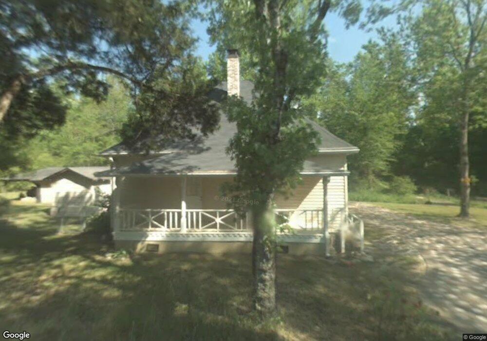
932 Briscoe Mill Rd Bethlehem, GA 30620
Estimated Value: $383,000 - $513,223
2
Beds
1
Bath
1,216
Sq Ft
$354/Sq Ft
Est. Value
About This Home
This home is located at 932 Briscoe Mill Rd, Bethlehem, GA 30620 and is currently estimated at $430,556, approximately $354 per square foot. 932 Briscoe Mill Rd is a home located in Barrow County with nearby schools including Bethlehem Elementary School, Haymon-Morris Middle School, and Apalachee High School.
Ownership History
Date
Name
Owned For
Owner Type
Purchase Details
Closed on
Sep 11, 2020
Sold by
Hansen Kimberly Michelle
Bought by
Fox Marah
Current Estimated Value
Home Financials for this Owner
Home Financials are based on the most recent Mortgage that was taken out on this home.
Original Mortgage
$294,566
Outstanding Balance
$259,621
Interest Rate
2.9%
Mortgage Type
FHA
Estimated Equity
$170,935
Purchase Details
Closed on
Mar 31, 2020
Sold by
Hansen Marie Joan Butler Estate
Bought by
Hansen Kimberly Michelle
Create a Home Valuation Report for This Property
The Home Valuation Report is an in-depth analysis detailing your home's value as well as a comparison with similar homes in the area
Home Values in the Area
Average Home Value in this Area
Purchase History
| Date | Buyer | Sale Price | Title Company |
|---|---|---|---|
| Fox Marah | $300,000 | -- | |
| Hansen Kimberly Michelle | -- | -- |
Source: Public Records
Mortgage History
| Date | Status | Borrower | Loan Amount |
|---|---|---|---|
| Open | Fox Marah | $294,566 |
Source: Public Records
Tax History
| Year | Tax Paid | Tax Assessment Tax Assessment Total Assessment is a certain percentage of the fair market value that is determined by local assessors to be the total taxable value of land and additions on the property. | Land | Improvement |
|---|---|---|---|---|
| 2025 | $2,089 | $165,550 | $100,336 | $65,214 |
| 2024 | $2,091 | $163,584 | $100,336 | $63,248 |
| 2023 | $1,663 | $163,584 | $100,336 | $63,248 |
| 2022 | $3,764 | $136,067 | $100,336 | $35,731 |
| 2021 | $3,301 | $113,062 | $80,268 | $32,794 |
| 2020 | $1,972 | $64,832 | $49,856 | $14,976 |
| 2019 | $2,007 | $64,832 | $49,856 | $14,976 |
| 2018 | $1,985 | $64,832 | $49,856 | $14,976 |
| 2017 | $1,814 | $62,288 | $49,856 | $12,432 |
| 2016 | $1,896 | $62,288 | $49,856 | $12,432 |
| 2015 | $1,905 | $62,288 | $49,856 | $12,432 |
| 2014 | $1,174 | $36,862 | $24,430 | $12,432 |
| 2013 | -- | $36,264 | $24,429 | $11,834 |
Source: Public Records
Map
Nearby Homes
- 0 J B Owens Rd Unit CL348952
- 0 J B Owens Rd Unit 10690069
- 0 J B Owens Lot 2 09ac Rd
- 0 J B Owens Lot 3 2 01ac Rd
- 825 Arch Tanner Rd
- 449 & 455 Carl-Bethlehem Rd
- 204 Lynn Rd
- 1101 Ravenwood Dr
- 404 Tanners Bridge Rd
- 812 Christmas Ave
- 1188 Carl-Bethlehem Rd
- 3243 Lowell Rd
- 511 Grand Oaks Ave
- 3233 Lowell Rd
- 3153 Lowell Rd
- 3283 Lowell Rd
- 784 Manger Ave
- 1071 Covenant Ct
- 0 Manger Ave E Unit 20154677
- 0 Manger Ave E Unit 20127001
- 932 Brisco Mill Rd
- 282 Lokeys Ln
- 260 Lokeys Ln
- 282 Lokey's Ln Unit 42
- 295 Lokey's Ln Unit 32
- 1024 Maggie Dr Unit 2
- 1023 Maggie Dr
- 74 Lokeys Cir
- 43 Lokeys Ln
- 25 Lokeys Cir Unit 4
- 85 Lokeys Cir Unit 7
- 1022 Maggie Dr
- 1021 Maggie Dr
- 1020 Maggie Dr
- 403 Wilshire Ln
- 863 Brisco Mill Rd
- 1019 Maggie Dr
- 405 Wilshire Ln
- 405 Wilshire Ln Unit 2
- 943 Arch Tanner Rd
Your Personal Tour Guide
Ask me questions while you tour the home.