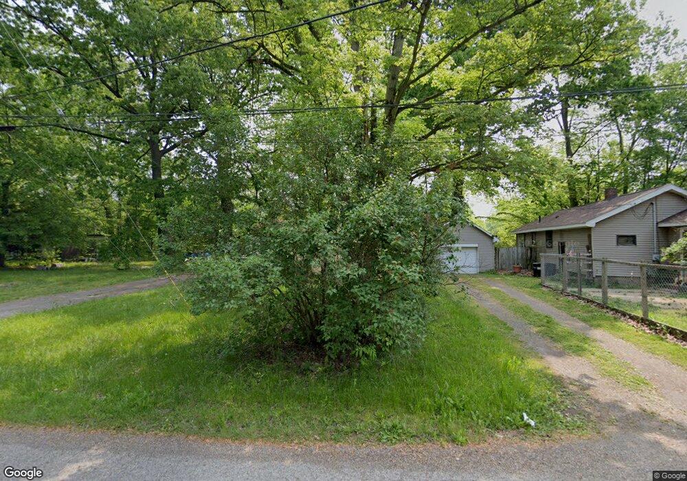
932 Brookside Dr Leavittsburg, OH 44430
Estimated Value: $50,535 - $103,000
3
Beds
1
Bath
1,004
Sq Ft
$81/Sq Ft
Est. Value
About This Home
This home is located at 932 Brookside Dr, Leavittsburg, OH 44430 and is currently estimated at $81,634, approximately $81 per square foot. 932 Brookside Dr is a home located in Trumbull County with nearby schools including LaBrae Intermediate School, Bascom Elementary School, and LaBrae High School.
Ownership History
Date
Name
Owned For
Owner Type
Purchase Details
Closed on
Aug 24, 2006
Sold by
Wolfe Barbara A
Bought by
Wilson John A
Current Estimated Value
Purchase Details
Closed on
Aug 22, 2006
Sold by
Wolfe Barbara A
Bought by
Wilson John A
Purchase Details
Closed on
Jan 1, 1990
Bought by
James E Suhrer
Create a Home Valuation Report for This Property
The Home Valuation Report is an in-depth analysis detailing your home's value as well as a comparison with similar homes in the area
Home Values in the Area
Average Home Value in this Area
Purchase History
We collect this data history from publicly available records. To have your information removed, we recommend requesting removal directly through your county’s website.
| Date | Buyer | Sale Price | Title Company |
|---|---|---|---|
| Wilson John A | -- | None Available | |
| Wilson John A | -- | None Available | |
| James E Suhrer | -- | -- |
Source: Public Records
Tax History
| Year | Tax Paid | Tax Assessment Tax Assessment Total Assessment is a certain percentage of the fair market value that is determined by local assessors to be the total taxable value of land and additions on the property. | Land | Improvement |
|---|---|---|---|---|
| 2025 | $319 | $7,040 | $1,890 | $5,150 |
| 2024 | $319 | $7,040 | $1,890 | $5,150 |
| 2023 | $317 | $7,040 | $1,890 | $5,150 |
| 2022 | $418 | $7,880 | $1,610 | $6,270 |
| 2021 | $422 | $7,880 | $1,610 | $6,270 |
| 2020 | $405 | $7,880 | $1,610 | $6,270 |
| 2019 | $419 | $7,560 | $1,610 | $5,950 |
| 2018 | $419 | $7,560 | $1,610 | $5,950 |
| 2017 | $418 | $7,560 | $1,610 | $5,950 |
| 2016 | $444 | $8,580 | $1,610 | $6,970 |
| 2015 | $450 | $8,580 | $1,610 | $6,970 |
| 2014 | $445 | $8,580 | $1,610 | $6,970 |
| 2013 | $462 | $9,030 | $1,610 | $7,420 |
Source: Public Records
Map
Nearby Homes
- 3138 Starlite Dr NW
- 3000 Parkman Rd NW
- 1647 Southern Blvd NW
- 724 Briggs Rd
- 800 N Leavitt Rd
- 1415 Southern Blvd NW
- 2860 Linda Dr NW
- 2486 Montgomery Ave NW
- 4749 Eagle Creek Rd
- 2135 Parkman Rd NW
- 324 Bechtel Rd
- 1935 Northfield Ave NW
- 1945 Norwood St NW
- 1936 Norwood St NW
- 2401 Stewart Dr NW
- 1952 Dodge Dr NW
- 3539 Dunstan Dr NW
- 644 Southern Blvd NW
- 1737 Westwood Dr NW
- 1525 Denison Ave NW
- 932 Brookside Dr
- 906 Brookside Dr
- 968 Brookside Dr
- 1902 Lovers Ln NW
- 3254 Starlite Dr NW
- 988 Brookside Dr
- 950 Wakefield Rd
- 3240 Starlite Dr NW
- 3540 Rio Vista Rd
- 3257 Starlite Dr NW
- 3228 Starlite Dr NW
- 1016 Brookside Dr
- 1940 Lovers Ln NW
- 992 Wakefield Rd
- 3243 Starlite Dr NW
- 3216 Starlite Dr NW
- 1980 Lovers Ln NW
- 1008 Wakefield Rd
- 1026 Brookside Dr
- 3268 Aris St NW
Your Personal Tour Guide
Ask me questions while you tour the home.