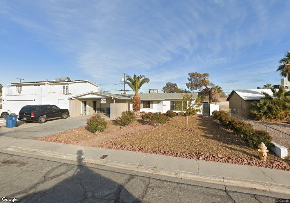
932 Count Wutzke Ave Las Vegas, NV 89119
University District NeighborhoodEstimated Value: $329,970 - $384,000
4
Beds
2
Baths
1,296
Sq Ft
$275/Sq Ft
Est. Value
About This Home
This home is located at 932 Count Wutzke Ave, Las Vegas, NV 89119 and is currently estimated at $356,493, approximately $275 per square foot. 932 Count Wutzke Ave is a home located in Clark County with nearby schools including Gene Ward Elementary School, Jack Dailey Elementary School, and Helen C. Cannon Junior High School.
Ownership History
Date
Name
Owned For
Owner Type
Purchase Details
Closed on
Jul 12, 2023
Sold by
Dismond Yolaine Malval
Bought by
Cw Dismond Trust and Dismond
Current Estimated Value
Purchase Details
Closed on
Jun 15, 2004
Sold by
Dismond Larry Eugene and Dsmond Larry
Bought by
Dismond Yolaine Malval
Purchase Details
Closed on
Mar 12, 1992
Sold by
Pinate Edith
Bought by
Dismond Larry
Create a Home Valuation Report for This Property
The Home Valuation Report is an in-depth analysis detailing your home's value as well as a comparison with similar homes in the area
Home Values in the Area
Average Home Value in this Area
Purchase History
| Date | Buyer | Sale Price | Title Company |
|---|---|---|---|
| Cw Dismond Trust | -- | None Listed On Document | |
| Dismond Yolaine Malval | -- | North American Title Co | |
| Dismond Larry | -- | -- |
Source: Public Records
Tax History Compared to Growth
Tax History
| Year | Tax Paid | Tax Assessment Tax Assessment Total Assessment is a certain percentage of the fair market value that is determined by local assessors to be the total taxable value of land and additions on the property. | Land | Improvement |
|---|---|---|---|---|
| 2025 | $852 | $56,804 | $31,150 | $25,654 |
| 2024 | $828 | $56,804 | $31,150 | $25,654 |
| 2023 | $828 | $55,490 | $32,550 | $22,940 |
| 2022 | $804 | $45,534 | $24,850 | $20,684 |
| 2021 | $780 | $44,014 | $24,850 | $19,164 |
| 2020 | $755 | $41,033 | $22,400 | $18,633 |
| 2019 | $733 | $35,498 | $17,500 | $17,998 |
| 2018 | $711 | $33,424 | $16,450 | $16,974 |
| 2017 | $978 | $33,331 | $16,450 | $16,881 |
| 2016 | $675 | $26,396 | $10,150 | $16,246 |
| 2015 | $672 | $23,622 | $8,050 | $15,572 |
| 2014 | $653 | $21,591 | $6,300 | $15,291 |
Source: Public Records
Map
Nearby Homes
- 922 Westminster Ave
- 5404 Swenson St Unit 34
- 5390 Swenson St Unit 27
- 942 Westminster Ave
- 5408 S Swenson St Unit 2
- 861 E Hacienda Ave
- 5384 Swenson St Unit 24
- 5326 Swenson St Unit 61
- 5440 Swenson St Unit 18
- 5422 Swenson St
- 1037 Westminster Ave
- 1077 Count Wutzke Ave
- 1108 Princess Katy Ave
- 944 de Met Dr
- 5248 Greene Ln Unit B
- 5155 Gray Ln
- 5205 Golden Ln
- 5128 Wilbur St
- 5227 Garden Ln
- 5125 Gray Ln Unit B
- 942 Count Wutzke Ave
- 922 Count Wutzke Ave
- 933 Westminster Ave
- 923 Westminster Ave
- 943 Westminster Ave
- 952 Count Wutzke Ave
- 912 Count Wutzke Ave
- 933 Count Wutzke Ave
- 913 Westminster Ave
- 953 Westminster Ave
- 923 Count Wutzke Ave
- 943 Count Wutzke Ave
- 962 Count Wutzke Ave
- 902 Count Wutzke Ave
- 913 Count Wutzke Ave
- 953 Count Wutzke Ave
- 903 Westminster Ave
- 963 Westminster Ave
- 932 Westminster Ave
- 903 Count Wutzke Ave