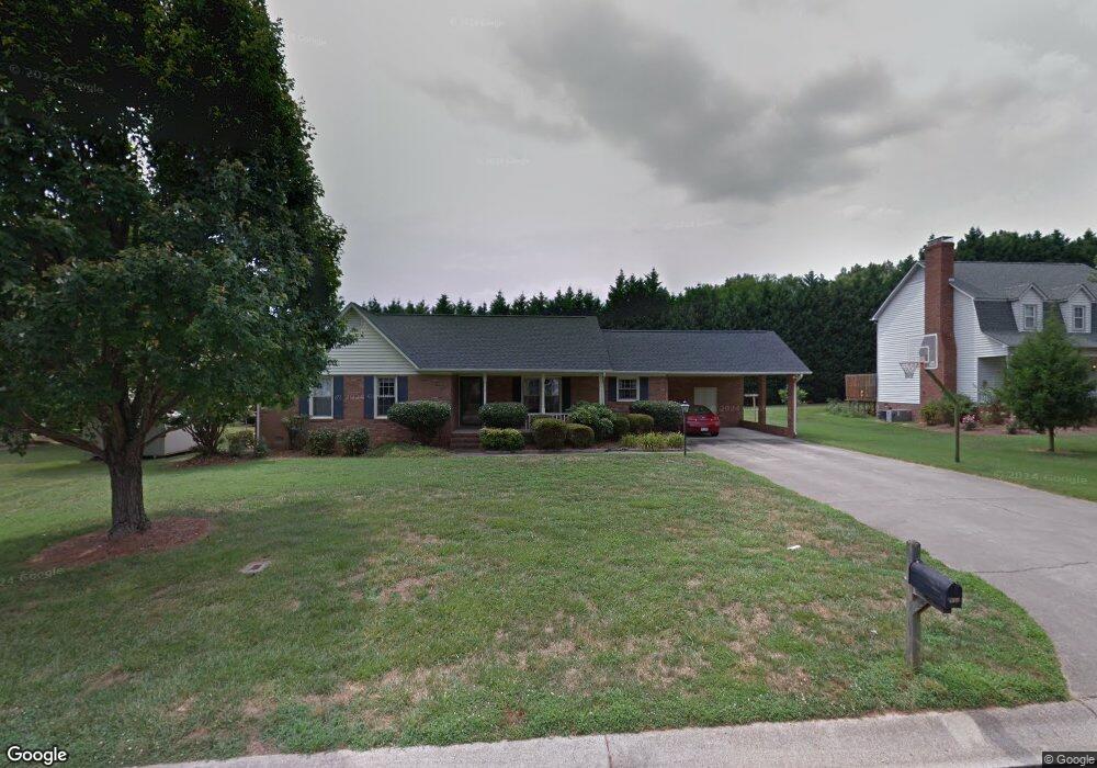
932 Romsey Ct Kannapolis, NC 28081
Estimated Value: $278,000 - $343,000
3
Beds
2
Baths
1,473
Sq Ft
$203/Sq Ft
Est. Value
About This Home
This home is located at 932 Romsey Ct, Kannapolis, NC 28081 and is currently estimated at $298,967, approximately $202 per square foot. 932 Romsey Ct is a home located in Cabarrus County with nearby schools including Shady Brook Elementary School, Kannapolis Middle, and A.L. Brown High School.
Ownership History
Date
Name
Owned For
Owner Type
Purchase Details
Closed on
Jun 1, 1987
Bought by
Kinsey James R
Current Estimated Value
Create a Home Valuation Report for This Property
The Home Valuation Report is an in-depth analysis detailing your home's value as well as a comparison with similar homes in the area
Home Values in the Area
Average Home Value in this Area
Purchase History
| Date | Buyer | Sale Price | Title Company |
|---|---|---|---|
| Kinsey James R | $78,000 | -- |
Source: Public Records
Tax History Compared to Growth
Tax History
| Year | Tax Paid | Tax Assessment Tax Assessment Total Assessment is a certain percentage of the fair market value that is determined by local assessors to be the total taxable value of land and additions on the property. | Land | Improvement |
|---|---|---|---|---|
| 2025 | $2,909 | $256,180 | $65,000 | $191,180 |
| 2024 | $2,909 | $256,180 | $65,000 | $191,180 |
| 2023 | $2,221 | $162,140 | $46,000 | $116,140 |
| 2022 | $2,221 | $162,140 | $46,000 | $116,140 |
| 2021 | $2,221 | $162,140 | $46,000 | $116,140 |
| 2020 | $2,221 | $162,140 | $46,000 | $116,140 |
| 2019 | $1,961 | $143,170 | $32,000 | $111,170 |
| 2018 | $1,933 | $143,170 | $32,000 | $111,170 |
| 2017 | $1,904 | $143,170 | $32,000 | $111,170 |
| 2016 | $1,904 | $141,810 | $32,000 | $109,810 |
| 2015 | $1,787 | $141,810 | $32,000 | $109,810 |
| 2014 | $1,787 | $141,810 | $32,000 | $109,810 |
Source: Public Records
Map
Nearby Homes
- 808 Walker St
- 806 Walker St
- 804 Evergreen Ave
- 825 Margate Ave
- 1010 Sprucewood St
- 0000 Bethpage Rd
- 807 Klondale Ave
- 00 Sapp Rd
- 915 Sprucewood St
- 709 Robin Ave
- 828 Richard Ave
- 621 Pleasant Ave
- 1220 Lombardi St
- 1110 Rogers Lake Rd
- 1209 Derbyshire Rd
- 510 Pleasant Ave
- Lot 1 Pleasant Ave
- 1208 Berkshire Dr
- 1201 Berkshire Dr
- 500 Broad St
- 928 Romsey Ct
- 1002 Wentworth Dr
- 1006 Wentworth Dr
- 941 Gilling Ct
- 937 Gilling Ct
- 914 Wentworth Dr
- 924 Romsey Ct
- 931 Romsey Ct
- 1010 Wentworth Dr
- 927 Romsey Ct
- 923 Romsey Ct
- 923 Romsey Ct Unit 10
- 932 Gilling Ct
- 910 Wentworth Dr
- 1003 Wentworth Dr
- 1014 Wentworth Dr
- 1011 Wentworth Dr
- 911 Wentworth Dr
- 945 Gilling Ct
- 918 Victoria Ave