932 Sand Pit Rd Soperton, GA 30457
Estimated Value: $163,000 - $226,339
Studio
2
Baths
2,551
Sq Ft
$76/Sq Ft
Est. Value
About This Home
This home is located at 932 Sand Pit Rd, Soperton, GA 30457 and is currently estimated at $194,670, approximately $76 per square foot. 932 Sand Pit Rd is a home located in Treutlen County with nearby schools including Treutlen Elementary School and Treutlen Middle/High School.
Ownership History
Date
Name
Owned For
Owner Type
Purchase Details
Closed on
Jul 8, 2019
Sold by
Cox Peggy C
Bought by
Crosby A Todd and Swearigen Dawn
Current Estimated Value
Purchase Details
Closed on
May 3, 2017
Sold by
Reid Ronnie
Bought by
Cox Peggy
Purchase Details
Closed on
Apr 12, 2012
Sold by
Cox Peggy P
Bought by
Crosby Todd A and Swearigen Dawn
Purchase Details
Closed on
May 3, 1986
Bought by
Cox Harold Peggy,C
Purchase Details
Closed on
Mar 3, 1986
Create a Home Valuation Report for This Property
The Home Valuation Report is an in-depth analysis detailing your home's value as well as a comparison with similar homes in the area
Purchase History
| Date | Buyer | Sale Price | Title Company |
|---|---|---|---|
| Crosby A Todd | -- | -- | |
| Cox Peggy | -- | -- | |
| Crosby Todd A | -- | -- | |
| Cox Harold Peggy,C | -- | -- | |
| -- | -- | -- |
Source: Public Records
Tax History
| Year | Tax Paid | Tax Assessment Tax Assessment Total Assessment is a certain percentage of the fair market value that is determined by local assessors to be the total taxable value of land and additions on the property. | Land | Improvement |
|---|---|---|---|---|
| 2024 | $1,867 | $66,760 | $6,480 | $60,280 |
| 2023 | $1,867 | $66,760 | $6,480 | $60,280 |
| 2022 | $1,613 | $59,800 | $6,480 | $53,320 |
| 2021 | $1,612 | $59,800 | $6,480 | $53,320 |
| 2020 | $1,611 | $59,800 | $6,480 | $53,320 |
| 2019 | $1,415 | $59,680 | $6,360 | $53,320 |
| 2018 | $1,440 | $58,880 | $6,360 | $52,520 |
| 2017 | $1,339 | $57,640 | $5,120 | $52,520 |
| 2016 | $1,444 | $57,640 | $5,120 | $52,520 |
| 2015 | -- | $56,240 | $5,120 | $51,120 |
| 2014 | -- | $56,240 | $5,120 | $51,120 |
| 2013 | -- | $56,240 | $5,120 | $51,120 |
Source: Public Records
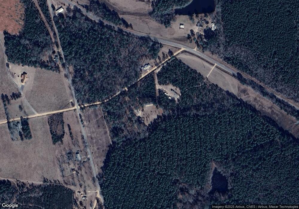
Map
Nearby Homes
- 0 Knox Mill Rd Unit 10640244
- 0 Lake Helen Loop Unit 10640271
- 2131 Rockledge Rd
- 0 Muskogee Trail Unit LOT 84
- 0 Muskogee Trail Unit 30570
- 46 Georgia 46
- 4281 Ga Highway 46
- 1785 Martin Luther King jr Dr
- 4281 Sr-46
- 0 Rivoli Clay Rd
- 0 Outlaw Grove Way Unit 26359636
- 0 Outlaw Grove Way Unit 10692896
- 4798 S Third St
- 0 Hwy 297 - Tract 2 & 3
- 0 Raymond Wilkes Rd
- 1869 Florida Ave
- 2980 Georgia 46
- 1936 Cedar Grove Rd
- 0 County Line Rd Unit n/a 113727
- 0 Branch Rd Unit 22915184
- 991 Sand Pit Rd
- 7139 Lothair Church Rd
- 0 Sleepy Hollow Road Lothair Church Rd
- 7263 Lothair Church Rd
- 6938 Lothair Church Rd
- 2487 Knox Mill Rd
- 692 Sand Pit Rd
- 0 Knox Mill Rd Unit 7031044
- 663 Sand Pit Rd
- 786 Sand Pit Rd
- 000 Sand Pit Rd
- 791 Sand Pit Rd
- 379 Sleepy Hollow Rd
- 0 Sleepy Hollow Rd
- 360 Briarcliff Rd
- 3300 Knox Mill Rd
- 1874 Knox Mill Rd
- 5821 Lothair Church Rd
- 1488 Briarcliff Rd
- 2293 Red Bluff Church Rd
Your Personal Tour Guide
Ask me questions while you tour the home.