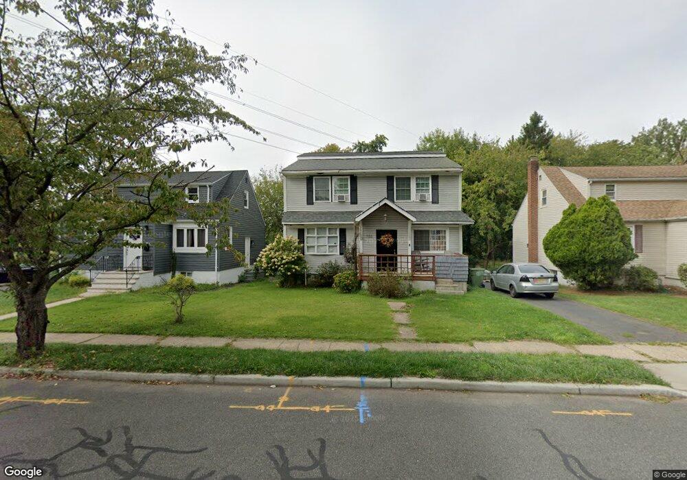
932 Wheatsheaf Rd Roselle, NJ 07203
Estimated Value: $488,000 - $616,000
5
Beds
2
Baths
1,592
Sq Ft
$354/Sq Ft
Est. Value
About This Home
This home is located at 932 Wheatsheaf Rd, Roselle, NJ 07203 and is currently estimated at $563,987, approximately $354 per square foot. 932 Wheatsheaf Rd is a home located in Union County with nearby schools including Dr Charles C Polk School, Leonard V. Moore Middle School, and Grace Wilday Junior High School.
Ownership History
Date
Name
Owned For
Owner Type
Purchase Details
Closed on
Feb 21, 2024
Sold by
Sheriff Of The County Of Union
Bought by
Lery Point-Du-Jour and Edith Point Du Jour
Current Estimated Value
Purchase Details
Closed on
Jun 13, 1997
Sold by
Schwarz Hans Heinrich and Sigal Elke Almuth
Bought by
Pointdujour Lery and Pointdujour Lemec
Create a Home Valuation Report for This Property
The Home Valuation Report is an in-depth analysis detailing your home's value as well as a comparison with similar homes in the area
Home Values in the Area
Average Home Value in this Area
Purchase History
| Date | Buyer | Sale Price | Title Company |
|---|---|---|---|
| Lery Point-Du-Jour | $255,321 | None Listed On Document | |
| Lery Point-Du-Jour | $255,321 | None Listed On Document | |
| Pointdujour Lery | $96,000 | -- |
Source: Public Records
Tax History
| Year | Tax Paid | Tax Assessment Tax Assessment Total Assessment is a certain percentage of the fair market value that is determined by local assessors to be the total taxable value of land and additions on the property. | Land | Improvement |
|---|---|---|---|---|
| 2025 | $10,199 | $117,300 | $63,800 | $53,500 |
| 2024 | $9,944 | $117,300 | $63,800 | $53,500 |
| 2023 | $9,944 | $117,300 | $63,800 | $53,500 |
| 2022 | $10,013 | $117,300 | $63,800 | $53,500 |
| 2021 | $9,953 | $117,300 | $63,800 | $53,500 |
| 2020 | $9,921 | $117,300 | $63,800 | $53,500 |
| 2019 | $9,795 | $117,300 | $63,800 | $53,500 |
| 2018 | $9,741 | $117,300 | $63,800 | $53,500 |
| 2017 | $9,689 | $117,300 | $63,800 | $53,500 |
| 2016 | $9,475 | $117,300 | $63,800 | $53,500 |
| 2015 | $9,474 | $117,300 | $63,800 | $53,500 |
| 2014 | $9,956 | $126,800 | $63,800 | $63,000 |
Source: Public Records
Map
Nearby Homes
- 928 Wheatsheaf Rd
- 936 Wheatsheaf Rd
- 924 Wheatsheaf Rd
- 920 Wheatsheaf Rd
- 931 Wheatsheaf Rd
- 131 W 10th Ave
- 124 W 10th Ave
- 125 Crane St
- 912 Wheatsheaf Rd
- 120 W 10th Ave
- 123 Crane St
- 127 W 10th Ave
- 908 Wheatsheaf Rd
- 116 W 10th Ave
- 121 Crane St
- 128 Crane St
- 117 W 10th Ave
- 147 W 9th Ave
- 904 Wheatsheaf Rd
- 126 Crane St
Your Personal Tour Guide
Ask me questions while you tour the home.