93288 Lillie Dr Myrtle Point, OR 97458
Estimated Value: $446,394 - $449,000
3
Beds
1
Bath
1,664
Sq Ft
$269/Sq Ft
Est. Value
About This Home
This home is located at 93288 Lillie Dr, Myrtle Point, OR 97458 and is currently estimated at $447,697, approximately $269 per square foot. 93288 Lillie Dr is a home located in Coos County with nearby schools including Myrtle Crest School and Myrtle Point High School.
Ownership History
Date
Name
Owned For
Owner Type
Purchase Details
Closed on
Jan 4, 2017
Sold by
Frank Diane R and Lillie Diane R
Bought by
Frank Diane R and Frank Jordan
Current Estimated Value
Home Financials for this Owner
Home Financials are based on the most recent Mortgage that was taken out on this home.
Original Mortgage
$183,838
Outstanding Balance
$150,360
Interest Rate
4.03%
Mortgage Type
New Conventional
Estimated Equity
$297,337
Purchase Details
Closed on
Feb 5, 2009
Sold by
Selthon Robert and Selthon Sarah
Bought by
Lillie Diane R
Home Financials for this Owner
Home Financials are based on the most recent Mortgage that was taken out on this home.
Original Mortgage
$230,520
Interest Rate
5.01%
Mortgage Type
Purchase Money Mortgage
Create a Home Valuation Report for This Property
The Home Valuation Report is an in-depth analysis detailing your home's value as well as a comparison with similar homes in the area
Home Values in the Area
Average Home Value in this Area
Purchase History
| Date | Buyer | Sale Price | Title Company |
|---|---|---|---|
| Frank Diane R | -- | Ticor Title Company Of Or | |
| Lillie Diane R | $226,000 | Ticor Title Insurance |
Source: Public Records
Mortgage History
| Date | Status | Borrower | Loan Amount |
|---|---|---|---|
| Open | Frank Diane R | $183,838 | |
| Closed | Lillie Diane R | $230,520 |
Source: Public Records
Tax History Compared to Growth
Tax History
| Year | Tax Paid | Tax Assessment Tax Assessment Total Assessment is a certain percentage of the fair market value that is determined by local assessors to be the total taxable value of land and additions on the property. | Land | Improvement |
|---|---|---|---|---|
| 2025 | $2,268 | $229,780 | -- | -- |
| 2024 | $2,240 | $223,090 | -- | -- |
| 2023 | $2,096 | $216,600 | $0 | $0 |
| 2022 | $2,084 | $210,300 | $0 | $0 |
| 2021 | $2,038 | $204,180 | $0 | $0 |
| 2020 | $1,985 | $204,180 | $0 | $0 |
| 2019 | $1,881 | $192,470 | $0 | $0 |
| 2018 | $1,833 | $186,870 | $0 | $0 |
| 2017 | $1,791 | $181,430 | $0 | $0 |
| 2016 | $1,743 | $176,150 | $0 | $0 |
| 2015 | $1,703 | $171,020 | $0 | $0 |
| 2014 | $1,701 | $166,040 | $0 | $0 |
Source: Public Records
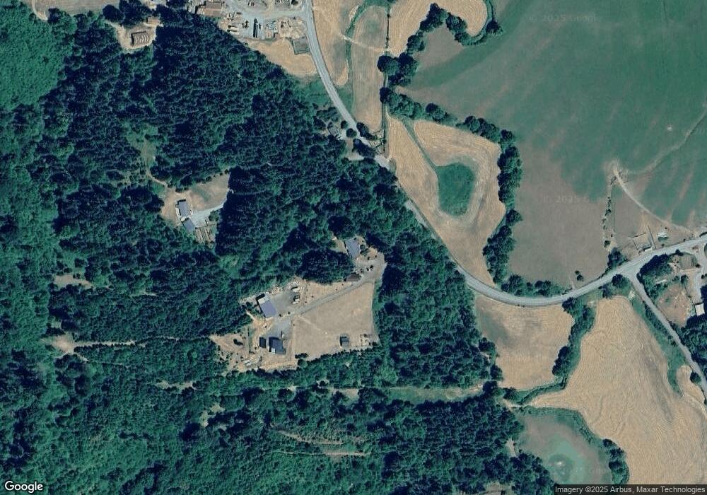
Map
Nearby Homes
- 93521 Pleasant Valley Ln
- 53874 Fishtrap Rd
- 94104 Pleasant Valley Ln
- 0 Pleasant Valley Rd Unit 22531177
- 52991 Stringtown Rd
- 54825 Robinson Rd
- 655 6th St
- 0 Tax Id 869112 Unit 24363207
- 1112 Spruce St
- 1211 Fairview St
- 805 C St
- 227 Border St
- 1311 Willow St
- 1404 Harris St
- 92433 Ward Creek Ln
- 1627 Maple St
- 1713 Maple St
- 1434 Maryland Ave
- 1829 E Willow St
- 1873 E Cedar St