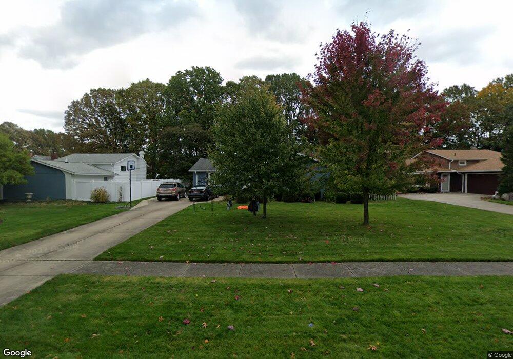
9329 Pheasant Run Place Strongsville, OH 44149
Estimated Value: $345,263 - $386,000
4
Beds
2
Baths
2,204
Sq Ft
$162/Sq Ft
Est. Value
About This Home
This home is located at 9329 Pheasant Run Place, Strongsville, OH 44149 and is currently estimated at $357,316, approximately $162 per square foot. 9329 Pheasant Run Place is a home located in Cuyahoga County with nearby schools including Strongsville High School, Sts Joseph & John Interparochial School, and St Mary School.
Ownership History
Date
Name
Owned For
Owner Type
Purchase Details
Closed on
Nov 4, 1988
Sold by
Parsley Dorothy
Bought by
Parsley Dorothy
Current Estimated Value
Purchase Details
Closed on
Aug 9, 1985
Sold by
Kotalik Joseph
Bought by
Parsley Dorothy
Purchase Details
Closed on
Mar 24, 1978
Sold by
Parsley Robert A
Bought by
Kotalik Joseph
Purchase Details
Closed on
Jan 11, 1977
Sold by
Parsley Robert A and Parsley Dorothy M
Bought by
Parsley Robert A
Purchase Details
Closed on
Jan 1, 1975
Bought by
Parsley Robert A and Parsley Dorothy M
Create a Home Valuation Report for This Property
The Home Valuation Report is an in-depth analysis detailing your home's value as well as a comparison with similar homes in the area
Home Values in the Area
Average Home Value in this Area
Purchase History
| Date | Buyer | Sale Price | Title Company |
|---|---|---|---|
| Parsley Dorothy | -- | -- | |
| Parsley Dorothy | -- | -- | |
| Kotalik Joseph | -- | -- | |
| Parsley Robert A | -- | -- | |
| Parsley Robert A | -- | -- | |
| Parsley Robert A | -- | -- |
Source: Public Records
Tax History Compared to Growth
Tax History
| Year | Tax Paid | Tax Assessment Tax Assessment Total Assessment is a certain percentage of the fair market value that is determined by local assessors to be the total taxable value of land and additions on the property. | Land | Improvement |
|---|---|---|---|---|
| 2024 | $4,301 | $101,395 | $18,865 | $82,530 |
| 2023 | $4,298 | $77,810 | $15,960 | $61,850 |
| 2022 | $4,293 | $77,810 | $15,960 | $61,850 |
| 2021 | $4,259 | $77,810 | $15,960 | $61,850 |
| 2020 | $3,835 | $63,770 | $13,090 | $50,680 |
| 2019 | $3,723 | $182,200 | $37,400 | $144,800 |
| 2018 | $3,379 | $63,770 | $13,090 | $50,680 |
| 2017 | $3,400 | $60,000 | $10,680 | $49,320 |
| 2016 | $3,372 | $60,000 | $10,680 | $49,320 |
| 2015 | $3,302 | $60,000 | $10,680 | $49,320 |
| 2014 | $3,302 | $58,240 | $10,360 | $47,880 |
Source: Public Records
Map
Nearby Homes
- 9401 Pheasant Run Place
- 20424 Scotch Pine Way
- 19890 Idlewood Trail
- 21292 Creekside Dr
- 20050 Idlewood Trail
- 20684 Albion Rd
- 19997 Idlewood Trail
- 8627 Courtland Dr
- 10839 Prospect Rd
- 21176 Hickory Branch Trail
- 10986 Fawn Meadow Ln
- 11179 Fawn Meadow Ln
- 84 Sprague Rd
- 10353 Oak Branch Trail
- 19240 Briarwood Ln
- 18737 Evergreen Dr
- 104 Whitehall Dr
- 18433 Whitney Rd
- 9829 Plum Brook Ln
- 8036 Fair Rd
- 9367 Pheasant Run Place
- 9321 Pheasant Run Place
- 9356 Woodhurst Dr
- 9388 Woodhurst Dr
- 9324 Woodhurst Dr
- 9420 Woodhurst Dr
- 9330 Pheasant Run Place
- 9366 Pheasant Run Place
- 20324 Homestead Park Dr
- 20300 Homestead Park Dr
- 9452 Woodhurst Dr
- 20336 Homestead Park Dr
- 20288 Homestead Park Dr
- 9449 Pheasant Run Place
- 20342 Homestead Park Dr
- 9412 Pheasant Run Place
- 20276 Homestead Park Dr
- 9484 Woodhurst Dr
- 20247 Homestead Park Dr
- 20395 Homestead Park Dr