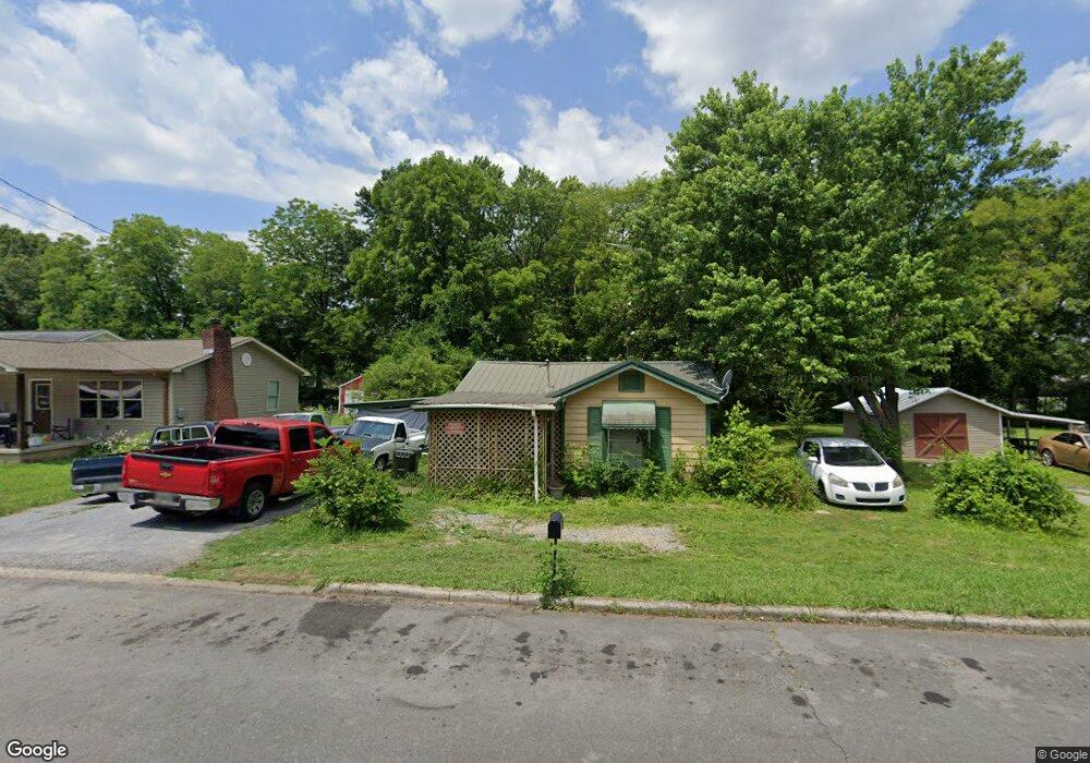
933 Avenue E Dalton, GA 30721
Estimated Value: $163,623 - $200,000
--
Bed
2
Baths
1,353
Sq Ft
$137/Sq Ft
Est. Value
About This Home
This home is located at 933 Avenue E, Dalton, GA 30721 and is currently estimated at $185,406, approximately $137 per square foot. 933 Avenue E is a home located in Whitfield County with nearby schools including Park Creek Elementary School, Dalton Middle School, and Dalton High School.
Ownership History
Date
Name
Owned For
Owner Type
Purchase Details
Closed on
May 18, 2017
Sold by
Est Phillips Dorothy M
Bought by
Sandate Liliana Dena and Tapia Pascual
Current Estimated Value
Home Financials for this Owner
Home Financials are based on the most recent Mortgage that was taken out on this home.
Original Mortgage
$45,736
Outstanding Balance
$23,299
Interest Rate
3.5%
Mortgage Type
FHA
Estimated Equity
$162,107
Purchase Details
Closed on
Aug 21, 2000
Sold by
Phillips Loyd R and Phillips Dorothy M
Bought by
Phillips Dorothy M
Create a Home Valuation Report for This Property
The Home Valuation Report is an in-depth analysis detailing your home's value as well as a comparison with similar homes in the area
Home Values in the Area
Average Home Value in this Area
Purchase History
| Date | Buyer | Sale Price | Title Company |
|---|---|---|---|
| Sandate Liliana Dena | $46,600 | -- | |
| Phillips Dorothy M | -- | -- |
Source: Public Records
Mortgage History
| Date | Status | Borrower | Loan Amount |
|---|---|---|---|
| Open | Sandate Liliana Dena | $45,736 |
Source: Public Records
Tax History Compared to Growth
Tax History
| Year | Tax Paid | Tax Assessment Tax Assessment Total Assessment is a certain percentage of the fair market value that is determined by local assessors to be the total taxable value of land and additions on the property. | Land | Improvement |
|---|---|---|---|---|
| 2024 | $256 | $45,632 | $8,800 | $36,832 |
| 2023 | $256 | $11,904 | $5,400 | $6,504 |
| 2022 | $308 | $15,358 | $5,400 | $9,958 |
| 2021 | $309 | $15,358 | $5,400 | $9,958 |
| 2020 | $313 | $15,358 | $5,400 | $9,958 |
| 2019 | $320 | $15,358 | $5,400 | $9,958 |
| 2018 | $320 | $15,358 | $5,400 | $9,958 |
| 2017 | -- | $15,358 | $5,400 | $9,958 |
| 2016 | -- | $12,557 | $3,465 | $9,092 |
| 2014 | $41 | $26,837 | $3,465 | $23,372 |
| 2013 | -- | $26,836 | $3,465 | $23,371 |
Source: Public Records
Map
Nearby Homes
- 916 Avenue E
- 928 Avenue C
- 940 Avenue E
- 717 Morningside Dr
- 601 Stillwood Dr
- 1326 Veterans Dr
- 540 Stillwood Dr
- 416 Sassafras St
- 606 Virginia Ave
- 00 Glenwood Ave
- 1119 Acme St
- 502 E Woodland Dr
- 1493 Hale Bowen Dr
- 533 Underwood St
- 1129 N Hamilton St
- 311 Shady Ln
- 0 Underwood St Unit 129860
- 404 Paige St
- 304 W Park St
- 825 Martin Luther King jr Blvd