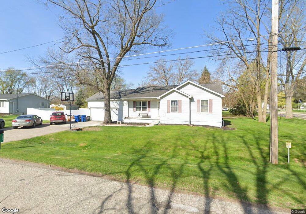
933 Byram Lake Dr Linden, MI 48451
Estimated Value: $267,000 - $322,000
3
Beds
2
Baths
1,201
Sq Ft
$253/Sq Ft
Est. Value
About This Home
This home is located at 933 Byram Lake Dr, Linden, MI 48451 and is currently estimated at $303,351, approximately $252 per square foot. 933 Byram Lake Dr is a home located in Genesee County with nearby schools including Hyatt Elementary School and Linden High School.
Ownership History
Date
Name
Owned For
Owner Type
Purchase Details
Closed on
Oct 16, 2001
Sold by
Berry Robert and Berry Ellen
Bought by
Spannagel John and Spannagel Rosa
Current Estimated Value
Home Financials for this Owner
Home Financials are based on the most recent Mortgage that was taken out on this home.
Original Mortgage
$132,900
Interest Rate
7.11%
Purchase Details
Closed on
Mar 5, 1999
Sold by
Letts James R and Letts Linda K
Bought by
Berry Robert and Berry Ellen
Create a Home Valuation Report for This Property
The Home Valuation Report is an in-depth analysis detailing your home's value as well as a comparison with similar homes in the area
Home Values in the Area
Average Home Value in this Area
Purchase History
| Date | Buyer | Sale Price | Title Company |
|---|---|---|---|
| Spannagel John | $149,900 | Lawyers Title Insurance Corp | |
| Berry Robert | $123,000 | Cislo Title Company |
Source: Public Records
Mortgage History
| Date | Status | Borrower | Loan Amount |
|---|---|---|---|
| Previous Owner | Spannagel John | $132,900 |
Source: Public Records
Tax History Compared to Growth
Tax History
| Year | Tax Paid | Tax Assessment Tax Assessment Total Assessment is a certain percentage of the fair market value that is determined by local assessors to be the total taxable value of land and additions on the property. | Land | Improvement |
|---|---|---|---|---|
| 2025 | $2,764 | $139,900 | $0 | $0 |
| 2024 | $1,638 | $120,800 | $0 | $0 |
| 2023 | $1,672 | $106,400 | $0 | $0 |
| 2022 | $2,525 | $100,300 | $0 | $0 |
| 2021 | $2,199 | $91,800 | $0 | $0 |
| 2020 | $1,524 | $85,600 | $0 | $0 |
| 2019 | $1,524 | $81,500 | $0 | $0 |
| 2018 | $2,041 | $81,500 | $0 | $0 |
| 2017 | $1,979 | $82,300 | $0 | $0 |
| 2016 | $1,989 | $71,500 | $0 | $0 |
| 2015 | $1,966 | $61,600 | $0 | $0 |
| 2012 | -- | $48,829 | $48,829 | $0 |
Source: Public Records
Map
Nearby Homes
- 12715 Ivy Ln
- 12711 Ivy Ln
- 321 Rustic Trail Unit 92
- 6342 Restwood Dr
- 5290 Spring Meadows Way
- 15082 Meadow Ln
- 0 Hyatt Ln
- 437 Sweet Briar Ridge Unit 70
- 513 W Broad St
- 330 Stan Eaton Dr
- VL Lakeview Park Dr
- 202 Oak St
- 15489 Linden Rd
- 5220 Amelia Earhart Dr
- 902 N Bridge St
- 16501 Bedington Dr
- 5202 Amelia Earhart Dr
- 15051 Poberezny Ct
- 5194 Amelia Earhart Dr
- 1590 W Rolston Rd
- 903 W Broad St
- 923 Byram Lake Dr
- 813 W Broad St
- 926 Byram Lake Dr
- 921 Byram Lake Dr
- 133 Fox Run Ct Unit 5
- 907 W Broad St
- 101 Chestnut Way Unit 1
- 920 Byram Lake Dr
- 911 W Broad St
- 919 Byram Lake Dr
- 109 Chestnut Way Unit 2
- 809 W Broad St
- 905 W Broad St
- 117 Chestnut Way Unit 3
- 149 Fox Run Ct Unit Bldg-Unit
- 149 Fox Run Ct Unit 7
- 6283 Silver Lake Rd
- 914 Byram Lake Dr
- 9095 W Broad St