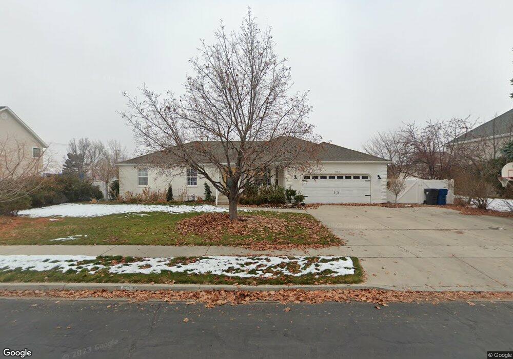
933 E 1300 N American Fork, UT 84003
Estimated Value: $630,000 - $659,780
3
Beds
3
Baths
1,881
Sq Ft
$340/Sq Ft
Est. Value
About This Home
This home is located at 933 E 1300 N, American Fork, UT 84003 and is currently estimated at $640,260, approximately $340 per square foot. 933 E 1300 N is a home located in Utah County with nearby schools including Deerfield Elementary School, Mountain Ridge Junior High School, and American Fork High School.
Ownership History
Date
Name
Owned For
Owner Type
Purchase Details
Closed on
Jun 10, 2015
Sold by
Farmer David
Bought by
Ives Nathan and Ives Katy
Current Estimated Value
Home Financials for this Owner
Home Financials are based on the most recent Mortgage that was taken out on this home.
Original Mortgage
$275,500
Outstanding Balance
$212,541
Interest Rate
3.64%
Mortgage Type
New Conventional
Estimated Equity
$427,719
Purchase Details
Closed on
May 10, 2010
Sold by
Farmer Lillian W
Bought by
Farmer Grant R
Create a Home Valuation Report for This Property
The Home Valuation Report is an in-depth analysis detailing your home's value as well as a comparison with similar homes in the area
Home Values in the Area
Average Home Value in this Area
Purchase History
| Date | Buyer | Sale Price | Title Company |
|---|---|---|---|
| Ives Nathan | -- | Utah First Title Ins Ag | |
| Farmer Grant R | -- | None Available |
Source: Public Records
Mortgage History
| Date | Status | Borrower | Loan Amount |
|---|---|---|---|
| Open | Ives Nathan | $275,500 |
Source: Public Records
Tax History
| Year | Tax Paid | Tax Assessment Tax Assessment Total Assessment is a certain percentage of the fair market value that is determined by local assessors to be the total taxable value of land and additions on the property. | Land | Improvement |
|---|---|---|---|---|
| 2025 | $2,734 | $313,170 | -- | -- |
| 2024 | $2,734 | $303,820 | $0 | $0 |
| 2023 | $2,596 | $305,800 | $0 | $0 |
| 2022 | $2,676 | $311,080 | $0 | $0 |
| 2021 | $2,352 | $427,100 | $168,000 | $259,100 |
| 2020 | $2,285 | $402,400 | $155,600 | $246,800 |
| 2019 | $2,023 | $368,400 | $144,700 | $223,700 |
| 2018 | $2,074 | $361,200 | $137,500 | $223,700 |
| 2017 | $2,071 | $194,700 | $0 | $0 |
| 2016 | $1,863 | $162,690 | $0 | $0 |
| 2015 | $1,794 | $148,720 | $0 | $0 |
| 2014 | $1,646 | $134,585 | $0 | $0 |
Source: Public Records
Map
Nearby Homes
- 1089 N 950 E
- 1077 N 950 E
- 4675 W Ferguson Way
- 1058 N 930 E Unit 64
- 9587 N 4500 W
- 9617 N 4500 W
- 1045 N 930 E Unit 58
- 1125 N 1270 E
- 4979 W Willowbank Dr
- 4552 W Windsor Cir
- 4531 W Cambridge Dr
- 4968 W Evergreen Ln
- 5061 W Evergreen Ln
- 9752 N Dorchester Dr
- 5034 W Green Ash Ln
- 5042 W Green Ash Ln
- 4998 W Green Ash Ln
- 4992 W Green Ash Ln
- 5056 W Green Ash Ln
- 1793 E Kern Mountain
Your Personal Tour Guide
Ask me questions while you tour the home.