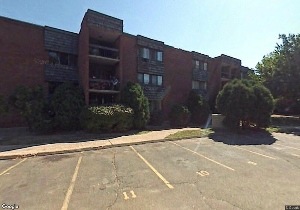
933 High Path Rd Windsor, CT 06095
West Windsor NeighborhoodEstimated Value: $100,679 - $139,000
1
Bed
2
Baths
723
Sq Ft
$168/Sq Ft
Est. Value
About This Home
This home is located at 933 High Path Rd, Windsor, CT 06095 and is currently estimated at $121,670, approximately $168 per square foot. 933 High Path Rd is a home located in Hartford County with nearby schools including Oliver Ellsworth School, John F. Kennedy School, and Sage Park Middle School.
Ownership History
Date
Name
Owned For
Owner Type
Purchase Details
Closed on
Oct 14, 2003
Sold by
Williams Charlene
Bought by
Brathwaite Aubrey
Current Estimated Value
Home Financials for this Owner
Home Financials are based on the most recent Mortgage that was taken out on this home.
Original Mortgage
$42,750
Outstanding Balance
$19,982
Interest Rate
6.35%
Mortgage Type
Purchase Money Mortgage
Estimated Equity
$101,688
Purchase Details
Closed on
Jun 4, 1998
Sold by
Kisber Leonard and Kisber Joseph
Bought by
Williams Charlene Ann
Home Financials for this Owner
Home Financials are based on the most recent Mortgage that was taken out on this home.
Original Mortgage
$13,500
Interest Rate
7.05%
Mortgage Type
Purchase Money Mortgage
Create a Home Valuation Report for This Property
The Home Valuation Report is an in-depth analysis detailing your home's value as well as a comparison with similar homes in the area
Home Values in the Area
Average Home Value in this Area
Purchase History
| Date | Buyer | Sale Price | Title Company |
|---|---|---|---|
| Brathwaite Aubrey | $45,500 | -- | |
| Williams Charlene Ann | $22,500 | -- |
Source: Public Records
Mortgage History
| Date | Status | Borrower | Loan Amount |
|---|---|---|---|
| Open | Williams Charlene Ann | $42,750 | |
| Previous Owner | Williams Charlene Ann | $13,500 |
Source: Public Records
Tax History
| Year | Tax Paid | Tax Assessment Tax Assessment Total Assessment is a certain percentage of the fair market value that is determined by local assessors to be the total taxable value of land and additions on the property. | Land | Improvement |
|---|---|---|---|---|
| 2025 | $1,858 | $65,310 | $0 | $65,310 |
| 2024 | $1,980 | $65,310 | $0 | $65,310 |
| 2023 | $1,435 | $42,700 | $0 | $42,700 |
| 2022 | $1,421 | $42,700 | $0 | $42,700 |
| 2021 | $1,421 | $42,700 | $0 | $42,700 |
| 2020 | $1,414 | $42,700 | $0 | $42,700 |
| 2019 | $1,383 | $42,700 | $0 | $42,700 |
| 2018 | $976 | $29,610 | $0 | $29,610 |
| 2017 | $956 | $29,470 | $0 | $29,470 |
| 2016 | $929 | $29,470 | $0 | $29,470 |
| 2015 | $911 | $29,470 | $0 | $29,470 |
| 2014 | $898 | $29,470 | $0 | $29,470 |
Source: Public Records
Map
Nearby Homes
- 943 High Path Rd Unit 943
- 136 High Path Rd
- 98 High Path Rd
- 118 High Path Rd Unit 118
- 58 High Path Rd Unit 58
- 268 High Path Rd Unit 268
- 485 River St
- 22 Apple Tree Ln
- 22 Eastview Dr
- 16 Cornfield Rd
- 1 Deanne Lynn Cir
- 211 MacKtown Rd
- 94 Raymond Rd
- 58 Hollow Brook Rd
- 24 Mary Catherine Cir
- 490 Old Day Hill Rd
- 957 Palisado Ave
- 109 Old Village Cir
- 1946 Poquonock Ave
- 32 Walnut Cir
- 955 High Path Rd
- 911 High Path Rd
- 907 High Path Rd
- 908 High Path Rd
- 908 High Path Rd Unit 908
- 954 High Path Rd
- 954 High Path Rd Unit 954
- 910 High Path Rd
- 910 High Path Rd Unit 910
- 932 High Path Rd
- 930 High Path Rd
- 952 High Path Rd
- 956 High Path Rd
- 913 High Path Rd
- 912 High Path Rd
- 934 High Path Rd
- 934 High Path Rd Unit 934
- 935 High Path Rd
- 935 High Path Rd Unit 935
- 909 High Path Rd
Your Personal Tour Guide
Ask me questions while you tour the home.