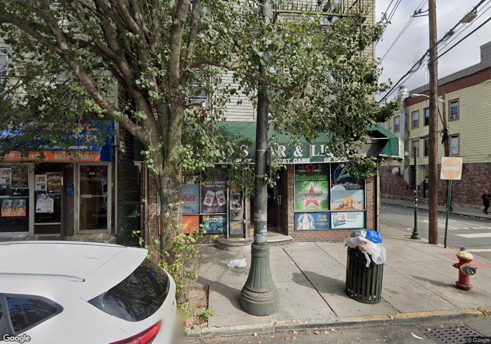
933 Main St Paterson, NJ 07503
South Paterson NeighborhoodEstimated Value: $847,000 - $1,092,989
Studio
--
Bath
5,600
Sq Ft
$173/Sq Ft
Est. Value
About This Home
This home is located at 933 Main St, Paterson, NJ 07503 and is currently estimated at $969,995, approximately $173 per square foot. 933 Main St is a home with nearby schools including Dale Avenue Elementary School, Edward W. Kilpatrick School of Discovery, and Paterson Public School No. 3.
Ownership History
Date
Name
Owned For
Owner Type
Purchase Details
Closed on
Oct 29, 2015
Sold by
933 Main Ave Llc
Bought by
933 Main Street Llc
Current Estimated Value
Purchase Details
Closed on
Jun 3, 2008
Sold by
Montesino Victor Q and Montesino Patsy
Bought by
933 Main Ave Llc
Home Financials for this Owner
Home Financials are based on the most recent Mortgage that was taken out on this home.
Original Mortgage
$336,000
Interest Rate
6.1%
Mortgage Type
Commercial
Purchase Details
Closed on
Jul 30, 1999
Sold by
Bonassin Mario and Bonassin Edina
Bought by
Montesino Victor Q and Montesino Patsy
Home Financials for this Owner
Home Financials are based on the most recent Mortgage that was taken out on this home.
Original Mortgage
$175,000
Interest Rate
9.75%
Mortgage Type
Commercial
Create a Home Valuation Report for This Property
The Home Valuation Report is an in-depth analysis detailing your home's value as well as a comparison with similar homes in the area
Home Values in the Area
Average Home Value in this Area
Purchase History
| Date | Buyer | Sale Price | Title Company |
|---|---|---|---|
| 933 Main Street Llc | $540,000 | Chicago Title Company Llc | |
| 933 Main Ave Llc | -- | -- | |
| Montesino Victor Q | $200,000 | -- |
Source: Public Records
Mortgage History
| Date | Status | Borrower | Loan Amount |
|---|---|---|---|
| Previous Owner | 933 Main Ave Llc | $336,000 | |
| Previous Owner | Montesino Victor Q | $175,000 |
Source: Public Records
Tax History
| Year | Tax Paid | Tax Assessment Tax Assessment Total Assessment is a certain percentage of the fair market value that is determined by local assessors to be the total taxable value of land and additions on the property. | Land | Improvement |
|---|---|---|---|---|
| 2025 | $19,361 | $380,000 | $82,200 | $297,800 |
| 2024 | $18,631 | $380,000 | $82,200 | $297,800 |
Source: Public Records
Map
Nearby Homes
- 27 Robert St Unit 29
- 39 Thomas St
- 7 Montclair Ave
- 92 Bloomfield Ave
- 339 Paxton St
- 45 Dey St
- 11 Adams St
- 35-37 Montclair Ave
- 65 Levine St
- 15 Inwood St
- 180 Atlantic St
- 19 Inwood St
- 439 Marshall St
- 41 Columbia Ave
- 209 Michigan Ave Unit 211
- 229-235 Marshall St
- 30 Mary St
- 156 Kentucky Ave Unit 158
- 110 Gourley Ave
- 1048 E 22nd St
- 939 Main St Unit 4
- 939 Main St Unit 3
- 939 Main St
- 13 Thomas St Unit 17
- 941 Main St Unit 2D
- 941 Main St
- 925 Main St
- 10 Thomas St
- 12 Thomas St
- 941-945 Main St
- 14-16 Thomas St
- 14 Thomas St Unit 16
- 923 Main St Unit 11111
- 923 Main St
- 10 Robert St
- 12 Robert St
- 16 Thomas St Unit 18
- 14 Robert St
- 947 Main St
- 20 Thomas St Unit 22