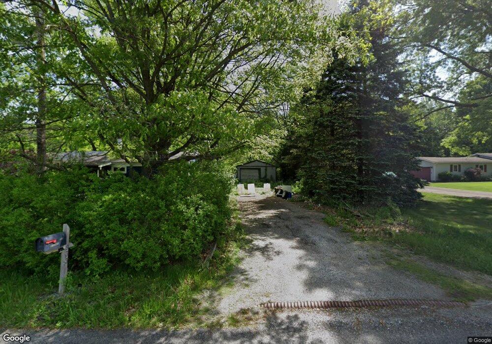
933 N 100 W Chesterton, IN 46304
Porter County NeighborhoodEstimated Value: $191,000 - $288,000
2
Beds
1
Bath
1,008
Sq Ft
$230/Sq Ft
Est. Value
About This Home
This home is located at 933 N 100 W, Chesterton, IN 46304 and is currently estimated at $231,504, approximately $229 per square foot. 933 N 100 W is a home located in Porter County with nearby schools including Liberty Elementary School, Liberty Intermediate School, and Chesterton Middle School.
Create a Home Valuation Report for This Property
The Home Valuation Report is an in-depth analysis detailing your home's value as well as a comparison with similar homes in the area
Home Values in the Area
Average Home Value in this Area
Tax History Compared to Growth
Tax History
| Year | Tax Paid | Tax Assessment Tax Assessment Total Assessment is a certain percentage of the fair market value that is determined by local assessors to be the total taxable value of land and additions on the property. | Land | Improvement |
|---|---|---|---|---|
| 2024 | $975 | $166,500 | $35,900 | $130,600 |
| 2023 | $938 | $142,400 | $29,900 | $112,500 |
| 2022 | $798 | $132,600 | $29,900 | $102,700 |
| 2021 | $858 | $128,100 | $29,900 | $98,200 |
| 2020 | $779 | $117,700 | $25,900 | $91,800 |
| 2019 | $721 | $108,600 | $25,900 | $82,700 |
| 2018 | $683 | $105,500 | $25,900 | $79,600 |
| 2017 | $621 | $101,000 | $25,900 | $75,100 |
| 2016 | $617 | $100,400 | $26,600 | $73,800 |
| 2014 | $435 | $89,200 | $23,800 | $65,400 |
| 2013 | -- | $85,900 | $24,400 | $61,500 |
Source: Public Records
Map
Nearby Homes
- 1017 N 150 W
- 122 W 850 N
- 17 Mark Twain Dr
- 28 Karner Blue Ct
- 26 Karner Blue Ct
- Integrity 2280 Plan at The Preserve Indiana
- Elements 2200 Plan at The Preserve Indiana - Elements
- Elements 2390 Plan at The Preserve Indiana - Elements
- Elements 2700 Plan at The Preserve Indiana - Elements
- 8 W Shakespeare Dr
- 1010 Preserve Ln
- 843 Mirmar Dr
- 1005 Preserve Ln
- 1036 Preserve Ln
- 1032 Preserve Ln
- 812 Concord St
- 882 Hemingway Trail
- 1038 N Meridian Rd
- 120 W Us Highway 6
- 1041 N Meridian Rd