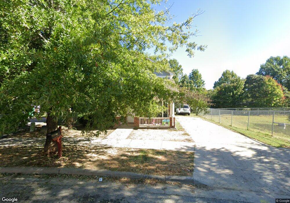
933 Norton St High Point, NC 27263
Greater High Point NeighborhoodEstimated Value: $220,000 - $261,740
3
Beds
3
Baths
1,936
Sq Ft
$125/Sq Ft
Est. Value
About This Home
This home is located at 933 Norton St, High Point, NC 27263 and is currently estimated at $241,185, approximately $124 per square foot. 933 Norton St is a home located in Guilford County with nearby schools including Allen Jay Elementary School, Southern Guilford Middle, and Southern Guilford High School.
Ownership History
Date
Name
Owned For
Owner Type
Purchase Details
Closed on
Dec 8, 2009
Bought by
Unknown Owner
Current Estimated Value
Purchase Details
Closed on
Mar 31, 2009
Sold by
The Housing Authority Of The City Of Hig
Bought by
Spring Brook Meadows Ii Llc and Bright Tonya
Home Financials for this Owner
Home Financials are based on the most recent Mortgage that was taken out on this home.
Original Mortgage
$85,088
Interest Rate
5.1%
Mortgage Type
FHA
Create a Home Valuation Report for This Property
The Home Valuation Report is an in-depth analysis detailing your home's value as well as a comparison with similar homes in the area
Home Values in the Area
Average Home Value in this Area
Purchase History
| Date | Buyer | Sale Price | Title Company |
|---|---|---|---|
| Unknown Owner | -- | -- | |
| Spring Brook Meadows Ii Llc | $127,500 | None Available |
Source: Public Records
Mortgage History
| Date | Status | Borrower | Loan Amount |
|---|---|---|---|
| Previous Owner | Spring Brook Meadows Ii Llc | $85,088 |
Source: Public Records
Tax History
| Year | Tax Paid | Tax Assessment Tax Assessment Total Assessment is a certain percentage of the fair market value that is determined by local assessors to be the total taxable value of land and additions on the property. | Land | Improvement |
|---|---|---|---|---|
| 2025 | $2,578 | $187,100 | $25,000 | $162,100 |
| 2024 | $2,578 | $187,100 | $25,000 | $162,100 |
| 2023 | $2,578 | $187,100 | $25,000 | $162,100 |
| 2022 | $2,522 | $187,100 | $25,000 | $162,100 |
| 2021 | $1,680 | $121,900 | $18,000 | $103,900 |
| 2020 | $1,680 | $121,900 | $18,000 | $103,900 |
| 2019 | $1,680 | $121,900 | $0 | $0 |
| 2018 | $1,671 | $121,900 | $0 | $0 |
| 2017 | $1,680 | $121,900 | $0 | $0 |
| 2016 | $1,980 | $141,200 | $0 | $0 |
| 2015 | $1,991 | $141,200 | $0 | $0 |
| 2014 | $2,025 | $141,200 | $0 | $0 |
Source: Public Records
Map
Nearby Homes
- 921 Norton St
- 717 Belmont Dr
- 715 Baker Rd
- 600 E Fairfield Rd
- 914 Nance Ave
- 919 Belmont Dr
- 609 Martha Place
- 607 Martha Place
- 1105 E Springfield Rd
- 312 Model Farm Rd
- 206 E Moore Ave
- 312 Playground Rd
- 206 Model Farm Rd
- 3630 Southpark Dr
- 116 Liberty Place
- 335 Nathan Hunt Dr
- 611 Liberty Rd
- 000 Liberty Rd
- 518 Elliott St
- 126 Apollo Cir
- 931 Norton St
- 929 Norton St
- 930 Norton St
- 927 Norton St
- 928 Norton St
- 933 First Tee Dr
- 939 Norton St
- 925 Norton St
- 931 First Tee Dr
- 929 First Tee Dr
- 924 Norton St
- 923 Norton St
- 927 First Tee Dr
- 702 Gaines Ave
- 922 Norton St
- 925 First Tee Dr
- 923 First Tee Dr
- 920 Norton St
- 919 Norton St
- 921 First Tee Dr
Your Personal Tour Guide
Ask me questions while you tour the home.