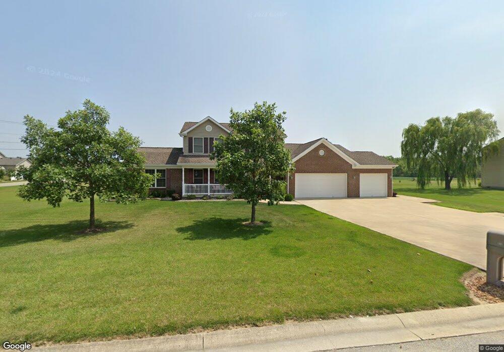
933 S Bluebird Ln Upland, IN 46989
Estimated Value: $329,000 - $375,000
4
Beds
4
Baths
2,408
Sq Ft
$149/Sq Ft
Est. Value
About This Home
This home is located at 933 S Bluebird Ln, Upland, IN 46989 and is currently estimated at $359,732, approximately $149 per square foot. 933 S Bluebird Ln is a home located in Grant County with nearby schools including Eastbrook High School.
Ownership History
Date
Name
Owned For
Owner Type
Purchase Details
Closed on
Apr 24, 2024
Sold by
Rush Neil A and Rush Rachel F
Bought by
Revocable Trust Agreement Of Kevin Worth Phil and Phillips
Current Estimated Value
Home Financials for this Owner
Home Financials are based on the most recent Mortgage that was taken out on this home.
Original Mortgage
$255,000
Outstanding Balance
$251,183
Interest Rate
6.87%
Mortgage Type
New Conventional
Estimated Equity
$108,549
Create a Home Valuation Report for This Property
The Home Valuation Report is an in-depth analysis detailing your home's value as well as a comparison with similar homes in the area
Home Values in the Area
Average Home Value in this Area
Purchase History
| Date | Buyer | Sale Price | Title Company |
|---|---|---|---|
| Revocable Trust Agreement Of Kevin Worth Phil | -- | None Listed On Document |
Source: Public Records
Mortgage History
| Date | Status | Borrower | Loan Amount |
|---|---|---|---|
| Open | Revocable Trust Agreement Of Kevin Worth Phil | $255,000 |
Source: Public Records
Tax History Compared to Growth
Tax History
| Year | Tax Paid | Tax Assessment Tax Assessment Total Assessment is a certain percentage of the fair market value that is determined by local assessors to be the total taxable value of land and additions on the property. | Land | Improvement |
|---|---|---|---|---|
| 2024 | $1,746 | $216,600 | $26,500 | $190,100 |
| 2023 | $1,661 | $211,200 | $26,500 | $184,700 |
| 2022 | $1,858 | $206,200 | $26,500 | $179,700 |
| 2021 | $1,726 | $191,700 | $26,500 | $165,200 |
| 2020 | $1,612 | $192,100 | $26,500 | $165,600 |
| 2019 | $1,552 | $194,000 | $26,500 | $167,500 |
| 2018 | $1,367 | $189,700 | $26,500 | $163,200 |
| 2017 | $1,278 | $189,300 | $26,500 | $162,800 |
| 2016 | $1,210 | $189,500 | $26,500 | $163,000 |
| 2014 | $1,139 | $189,400 | $26,500 | $162,900 |
| 2013 | $1,139 | $189,000 | $26,500 | $162,500 |
Source: Public Records
Map
Nearby Homes
- 281 W Taylor Ave
- 328 W Jefferson St
- 134 E Washington St
- Lot 8 W South St
- Lot 7 W South St
- Lot 9 W South St
- 776 W Harsax Dr
- 158 W Anson St
- 0 Catalina Dr
- 2300 S 8th St
- 11332 E 600 S
- 7960 S 950 E
- 8567 S 950 E
- 0 S 950 E Unit 202532105
- 6644 E 750 S
- 400-500 S 1000 E
- 953 Earl Dr
- 2866 W State Road 26
- 954 Sellers Rd
- 3739 S 600 East (Tract 4)
- 981 S Bluebird Ln
- 852 Silverman Blvd
- 932 S Bluebird Ln
- 1080 S Bluebird Ln
- 978 S Bluebird Ln
- 814 Silverman Blvd
- 336 Bluebird Ct
- 532 E Hess Dr
- 1077 S Bluebird Ln
- 792 Silverman Blvd
- 280 Bluebird Ct
- 546 Hess Dr
- 282 E Berry Ave
- 341 Bluebird Ct
- 8948 E 600 S
- 1131 S Bluebird Ln
- 529 E Hess Dr
- 754 Silverman Blvd
- 531 E Hess Dr
- 297 Bluebird Ct