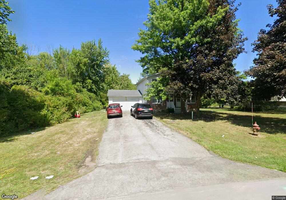
933 Swann Rd Youngstown, NY 14174
Estimated Value: $242,000 - $326,664
5
Beds
2
Baths
2,232
Sq Ft
$124/Sq Ft
Est. Value
About This Home
This home is located at 933 Swann Rd, Youngstown, NY 14174 and is currently estimated at $276,166, approximately $123 per square foot. 933 Swann Rd is a home with nearby schools including Primary Education Center, Intermediate Education Center, and Lewiston Porter Middle School.
Ownership History
Date
Name
Owned For
Owner Type
Purchase Details
Closed on
Dec 16, 2020
Sold by
Mack Kevin D
Bought by
Ez Industries Llc
Current Estimated Value
Home Financials for this Owner
Home Financials are based on the most recent Mortgage that was taken out on this home.
Original Mortgage
$120,000
Outstanding Balance
$107,026
Interest Rate
2.8%
Mortgage Type
Seller Take Back
Estimated Equity
$169,140
Purchase Details
Closed on
Jan 29, 2002
Sold by
Moran Paul J
Bought by
Mack Kevin D
Purchase Details
Closed on
Jul 26, 1994
Sold by
Townsend Pamela D
Bought by
Moran Paul J
Create a Home Valuation Report for This Property
The Home Valuation Report is an in-depth analysis detailing your home's value as well as a comparison with similar homes in the area
Home Values in the Area
Average Home Value in this Area
Purchase History
| Date | Buyer | Sale Price | Title Company |
|---|---|---|---|
| Ez Industries Llc | $155,000 | Stewart Title Insurance Co | |
| Mack Kevin D | $107,000 | David J Farrugia | |
| Moran Paul J | $107,000 | -- |
Source: Public Records
Mortgage History
| Date | Status | Borrower | Loan Amount |
|---|---|---|---|
| Open | Ez Industries Llc | $120,000 |
Source: Public Records
Tax History Compared to Growth
Tax History
| Year | Tax Paid | Tax Assessment Tax Assessment Total Assessment is a certain percentage of the fair market value that is determined by local assessors to be the total taxable value of land and additions on the property. | Land | Improvement |
|---|---|---|---|---|
| 2024 | $5,395 | $118,000 | $15,800 | $102,200 |
| 2023 | $6,088 | $118,000 | $15,800 | $102,200 |
| 2022 | $5,349 | $118,000 | $15,800 | $102,200 |
| 2021 | $5,293 | $118,000 | $15,800 | $102,200 |
| 2020 | $5,278 | $118,000 | $15,800 | $102,200 |
| 2019 | $6,150 | $118,000 | $15,800 | $102,200 |
| 2018 | $6,172 | $118,000 | $15,800 | $102,200 |
| 2017 | $6,150 | $118,000 | $15,800 | $102,200 |
| 2016 | $5,326 | $118,000 | $15,800 | $102,200 |
| 2015 | -- | $118,000 | $15,800 | $102,200 |
| 2014 | -- | $118,000 | $15,800 | $102,200 |
Source: Public Records
Map
Nearby Homes
- 981 Swann Rd
- 4628 Creek Rd
- 4248 Scenic Dr
- 1328 Swann Rd
- 4652 Perry Ct
- 4707 Perry Ct
- 746 Curtis Ct
- 0 Swann Rd Unit B1628365
- 575 Morgan Dr
- 4834 E Eddy Dr
- 735 Legacy Dr
- 510 Riverwalk Dr
- 525 Riverwalk Dr
- 503 Riverwalk Dr
- 4292 Wolf Run (Lot 3) Dr
- 0 Eddy Dr W
- 1014 Little Vista Dr
- 4300 Wolf Run (Lot 1) Dr
- 588 Oak Run Dr
- VL Porter Center Rd