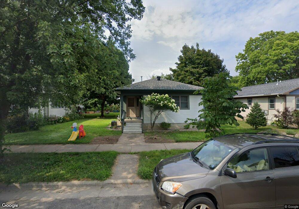
933 Tyler St La Crosse, WI 54601
Powell Poage Hamilton NeighborhoodEstimated Value: $196,000 - $352,000
3
Beds
2
Baths
1,034
Sq Ft
$265/Sq Ft
Est. Value
About This Home
This home is located at 933 Tyler St, La Crosse, WI 54601 and is currently estimated at $273,665, approximately $264 per square foot. 933 Tyler St is a home located in La Crosse County with nearby schools including Hamilton Early Learning Center, Lincoln Middle School, and Central High School.
Ownership History
Date
Name
Owned For
Owner Type
Purchase Details
Closed on
Oct 21, 2016
Sold by
Londre Andrew R and Londre Romi M
Bought by
Anderson Christopher R and Phillips Chantell L
Current Estimated Value
Home Financials for this Owner
Home Financials are based on the most recent Mortgage that was taken out on this home.
Original Mortgage
$123,219
Outstanding Balance
$99,681
Interest Rate
3.75%
Mortgage Type
FHA
Estimated Equity
$173,984
Purchase Details
Closed on
Feb 28, 2014
Sold by
Roob Rebecca D and Roob Scott G
Bought by
Londre Andrew R and Pattison Romi M
Home Financials for this Owner
Home Financials are based on the most recent Mortgage that was taken out on this home.
Original Mortgage
$114,000
Interest Rate
4.39%
Mortgage Type
New Conventional
Create a Home Valuation Report for This Property
The Home Valuation Report is an in-depth analysis detailing your home's value as well as a comparison with similar homes in the area
Home Values in the Area
Average Home Value in this Area
Purchase History
| Date | Buyer | Sale Price | Title Company |
|---|---|---|---|
| Anderson Christopher R | $138,000 | New Castle Title | |
| Londre Andrew R | $122,900 | Town & Country Title |
Source: Public Records
Mortgage History
| Date | Status | Borrower | Loan Amount |
|---|---|---|---|
| Open | Anderson Christopher R | $123,219 | |
| Previous Owner | Londre Andrew R | $114,000 |
Source: Public Records
Tax History Compared to Growth
Tax History
| Year | Tax Paid | Tax Assessment Tax Assessment Total Assessment is a certain percentage of the fair market value that is determined by local assessors to be the total taxable value of land and additions on the property. | Land | Improvement |
|---|---|---|---|---|
| 2023 | $3,643 | $192,800 | $14,800 | $178,000 |
| 2022 | $3,495 | $192,800 | $14,800 | $178,000 |
| 2021 | $3,617 | $151,800 | $14,800 | $137,000 |
| 2020 | $3,643 | $151,800 | $14,800 | $137,000 |
| 2019 | $3,598 | $151,800 | $14,800 | $137,000 |
| 2018 | $3,653 | $134,500 | $14,400 | $120,100 |
| 2017 | $3,702 | $134,500 | $14,400 | $120,100 |
| 2016 | $3,591 | $123,400 | $14,400 | $109,000 |
| 2015 | $3,514 | $123,400 | $14,400 | $109,000 |
| 2014 | $3,502 | $123,400 | $14,400 | $109,000 |
| 2013 | $3,608 | $123,400 | $14,400 | $109,000 |
Source: Public Records
Map
Nearby Homes
- 938 Hood St
- 1608 West Ave S
- 1202 West Ave S
- 1406 6th St S
- 1027 6th St S
- 1322 5th Ave S
- 1308 5th Ave S
- 1521 Denton St
- 1321 4th St S
- 1315 4th St S
- 511 Mississippi St
- 1506 Barlow St
- 1920 Fanell Dr
- 1123 3rd St S
- 1653 Redfield St
- 1213 Townsend St
- 1625 Barlow St
- 912 Cameron Ave
- 1651 Barlow St
- 527 15th St S