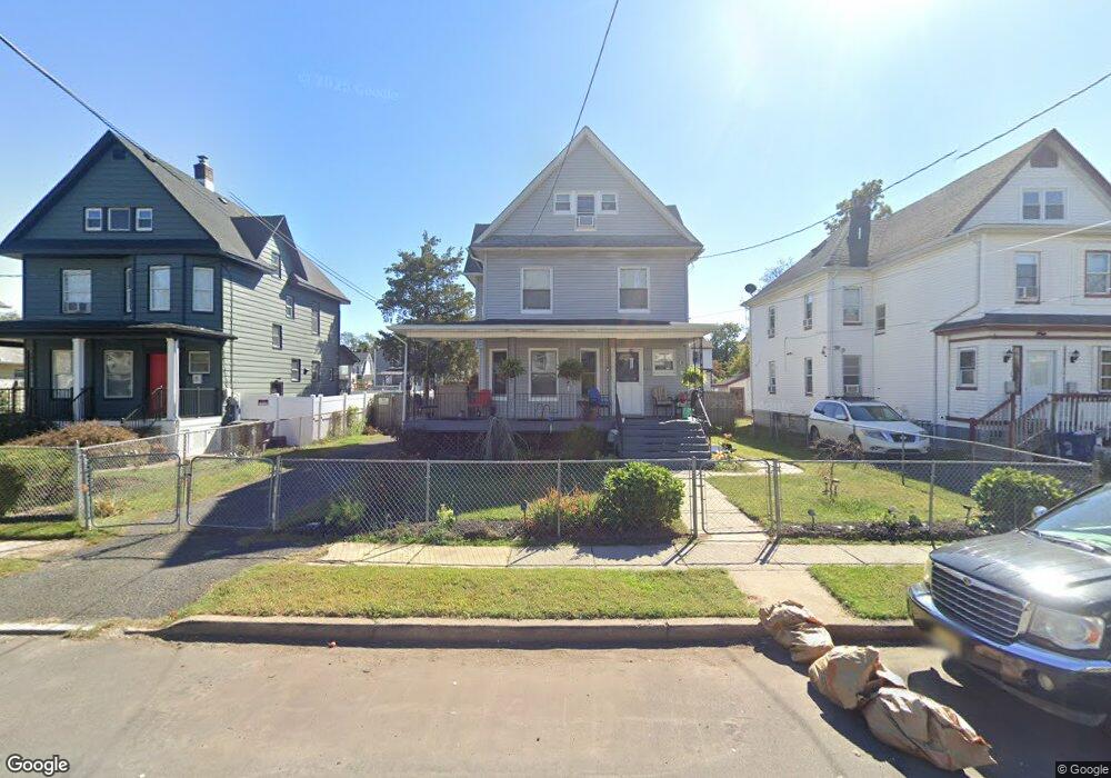
933 W 5th St Unit 35 Plainfield, NJ 07063
Estimated Value: $368,244 - $500,000
--
Bed
--
Bath
1,440
Sq Ft
$302/Sq Ft
Est. Value
About This Home
This home is located at 933 W 5th St Unit 35, Plainfield, NJ 07063 and is currently estimated at $435,561, approximately $302 per square foot. 933 W 5th St Unit 35 is a home located in Union County with nearby schools including Washington Community School, Hubbard Middle School, and Plainfield High School.
Ownership History
Date
Name
Owned For
Owner Type
Purchase Details
Closed on
Jun 23, 2003
Sold by
Sherman James
Bought by
Edwards Frank
Current Estimated Value
Home Financials for this Owner
Home Financials are based on the most recent Mortgage that was taken out on this home.
Original Mortgage
$144,688
Outstanding Balance
$61,030
Interest Rate
5.27%
Mortgage Type
FHA
Estimated Equity
$374,531
Create a Home Valuation Report for This Property
The Home Valuation Report is an in-depth analysis detailing your home's value as well as a comparison with similar homes in the area
Home Values in the Area
Average Home Value in this Area
Purchase History
| Date | Buyer | Sale Price | Title Company |
|---|---|---|---|
| Edwards Frank | $147,000 | -- |
Source: Public Records
Mortgage History
| Date | Status | Borrower | Loan Amount |
|---|---|---|---|
| Open | Edwards Frank | $144,688 |
Source: Public Records
Tax History Compared to Growth
Tax History
| Year | Tax Paid | Tax Assessment Tax Assessment Total Assessment is a certain percentage of the fair market value that is determined by local assessors to be the total taxable value of land and additions on the property. | Land | Improvement |
|---|---|---|---|---|
| 2025 | $6,855 | $78,500 | $26,700 | $51,800 |
| 2024 | $6,787 | $78,500 | $26,700 | $51,800 |
| 2023 | $6,787 | $78,500 | $26,700 | $51,800 |
| 2022 | $6,640 | $78,500 | $26,700 | $51,800 |
| 2021 | $6,582 | $78,500 | $26,700 | $51,800 |
| 2020 | $6,563 | $78,500 | $26,700 | $51,800 |
| 2019 | $6,563 | $78,500 | $26,700 | $51,800 |
| 2018 | $6,426 | $78,500 | $26,700 | $51,800 |
| 2017 | $6,269 | $78,500 | $26,700 | $51,800 |
| 2016 | $6,141 | $78,500 | $26,700 | $51,800 |
| 2015 | $5,960 | $78,500 | $26,700 | $51,800 |
| 2014 | -- | $78,500 | $26,700 | $51,800 |
Source: Public Records
Map
Nearby Homes
- 325-29 Stebbins Place Unit 4
- 950 W 6th St Unit 52
- 809-11 W 4th St
- 954 W 4th St
- 946 W 7th St Unit 48
- 301 Grant Ave Unit 3
- 312 Monroe Ave Unit 14
- 610 Darrow Ave Unit 16
- 829 S 2nd St
- 338 Manson Place Unit 40
- 223 Monroe Ave
- 211 Grant Ave
- 318-20 Manson Place
- 333 Mcdowell St Unit 35
- 667 S 2nd St
- 717 W 7th St
- 951 W Front St
- 681 W 3rd St Unit 83
- 905 Stelle Ave Unit 7
- 824 Monroe Ave Unit 26
- 929 W 5th St Unit 31
- 937 W 5th St Unit 39
- 937-39 W 5th St
- 925 W 5th St Unit 27
- 941 W 5th St Unit 43
- 930-32 W 6th St
- 930 W 6th St Unit 32
- 934 W 6th St Unit 36
- 926 W 6th St Unit 28
- 921 W 5th St Unit 23
- 945 W 5th St
- 922 W 6th St Unit 24
- 922 W 6th St Unit 2
- 924 W 6th St
- 938 W 6th St Unit 40
- 940 W 6th St
- 926-28 W 5th St
- 919 W 5th St
- 942 W 6th St Unit 44
- 930 W 5th St Unit 32