9332 Loading Dock Rd Silsbee, TX 77656
Estimated Value: $272,000 - $365,000
Studio
--
Bath
2,208
Sq Ft
$144/Sq Ft
Est. Value
About This Home
This home is located at 9332 Loading Dock Rd, Silsbee, TX 77656 and is currently estimated at $318,169, approximately $144 per square foot. 9332 Loading Dock Rd is a home located in Hardin County with nearby schools including John High Kirby Elementary School, Silsbee Elementary School, and Edwards-Johnson Memorial Middle School.
Ownership History
Date
Name
Owned For
Owner Type
Purchase Details
Closed on
Jul 24, 2009
Sold by
Shumate John Steven and Shumate Marsha
Bought by
Barksdale Rebecca L
Current Estimated Value
Home Financials for this Owner
Home Financials are based on the most recent Mortgage that was taken out on this home.
Original Mortgage
$184,000
Outstanding Balance
$120,549
Interest Rate
5.71%
Mortgage Type
Purchase Money Mortgage
Estimated Equity
$197,621
Purchase Details
Closed on
Oct 27, 2006
Sold by
Mcgallion Jimmie and Mcgallion Pamela A
Bought by
Shumate John Steven and Shumate Marsha
Home Financials for this Owner
Home Financials are based on the most recent Mortgage that was taken out on this home.
Original Mortgage
$189,900
Interest Rate
6.28%
Mortgage Type
Purchase Money Mortgage
Create a Home Valuation Report for This Property
The Home Valuation Report is an in-depth analysis detailing your home's value as well as a comparison with similar homes in the area
Home Values in the Area
Average Home Value in this Area
Purchase History
| Date | Buyer | Sale Price | Title Company |
|---|---|---|---|
| Barksdale Rebecca L | -- | None Available | |
| Shumate John Steven | -- | None Available |
Source: Public Records
Mortgage History
| Date | Status | Borrower | Loan Amount |
|---|---|---|---|
| Open | Barksdale Rebecca L | $184,000 | |
| Previous Owner | Shumate John Steven | $189,900 |
Source: Public Records
Tax History
| Year | Tax Paid | Tax Assessment Tax Assessment Total Assessment is a certain percentage of the fair market value that is determined by local assessors to be the total taxable value of land and additions on the property. | Land | Improvement |
|---|---|---|---|---|
| 2025 | $2,970 | $298,062 | $90,540 | $226,556 |
| 2024 | $3,045 | $270,965 | $90,540 | $226,556 |
| 2023 | $2,748 | $246,332 | $0 | $0 |
| 2022 | $4,143 | $242,392 | $31,513 | $210,879 |
| 2021 | $4,068 | $239,730 | $31,510 | $208,220 |
| 2020 | $3,698 | $185,070 | $24,650 | $160,420 |
| 2019 | $3,896 | $185,070 | $24,650 | $160,420 |
| 2018 | $3,307 | $185,070 | $24,650 | $160,420 |
| 2017 | $3,972 | $185,070 | $24,650 | $160,420 |
| 2016 | $3,972 | $185,080 | $24,650 | $160,430 |
| 2015 | $3,374 | $185,080 | $24,650 | $160,430 |
| 2014 | $3,470 | $185,080 | $24,650 | $160,430 |
Source: Public Records
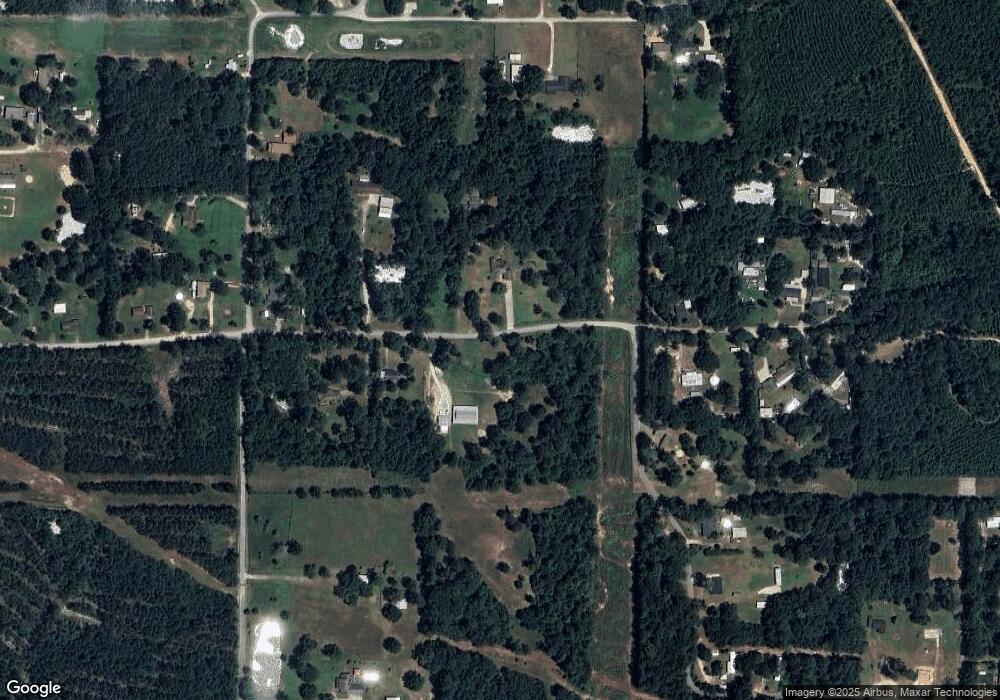
Map
Nearby Homes
- TBD Fm 92 E
- 000 WATSON Kline Rd
- TBD Quinn St
- 000 E Side of Hwy 96
- 000 E 327
- 8191 Mormon Church Rd
- 8144 Mormon Church Rd
- 8147 Mormon Church Rd
- 1113 Railroad St
- 00 Farm To Market 92
- 102 Britton Dr
- 7942 Mormon Church Rd
- 695 Grimes Ave
- 840 N 6th St
- 1238 Hayes Rd
- 770 N 8th St
- 2600 Block E Avenue G
- 620 N 5th St
- 000 5th
- 9022 Dairyland Heights Rd
- 9374 Loading Dock Rd
- 9279 Loading Dock Rd
- 10985 Bussey Rd
- 9398 Loading Dock Rd
- 9219 Loading Dock Rd
- 9405 Loading Dock Rd
- 10943 Bussey Rd
- 9173 Loading Dock Rd
- 9367 Loading Dock Rd
- 1030 Tucker Hill Rd
- 10928 Bussey Rd
- 9419 Loading Dock Rd
- 10887 Bussey Rd
- 9131 Loading Dock Rd
- 954 Tucker Hill Rd
- 10886 Bussey Rd
- 956 S Loading Dock Rd
- 10844 Bussey Rd
- 9546 Loading Dock Rd
- 9065 Loading Dock Rd
Your Personal Tour Guide
Ask me questions while you tour the home.