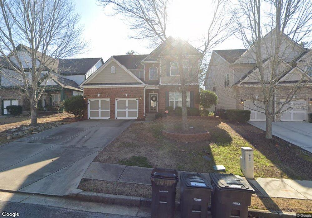
9332 Opal Dr Douglasville, GA 30135
Estimated Value: $366,869 - $417,000
4
Beds
3
Baths
2,714
Sq Ft
$141/Sq Ft
Est. Value
About This Home
This home is located at 9332 Opal Dr, Douglasville, GA 30135 and is currently estimated at $381,717, approximately $140 per square foot. 9332 Opal Dr is a home located in Douglas County with nearby schools including Mt. Carmel Elementary School, Chestnut Log Middle School, and New Manchester High School.
Ownership History
Date
Name
Owned For
Owner Type
Purchase Details
Closed on
Nov 9, 2021
Sold by
Sfr Jv 1 Property Llc
Bought by
Sfr Jv 1 2021 1 Borrower Llc
Current Estimated Value
Purchase Details
Closed on
Jul 8, 2021
Sold by
Burkle Alice
Bought by
Sfr Jv 1 Property Llc
Purchase Details
Closed on
Mar 29, 2006
Sold by
Ryland Group Inc
Bought by
Burkle Alice
Home Financials for this Owner
Home Financials are based on the most recent Mortgage that was taken out on this home.
Original Mortgage
$140,000
Interest Rate
6.23%
Mortgage Type
New Conventional
Create a Home Valuation Report for This Property
The Home Valuation Report is an in-depth analysis detailing your home's value as well as a comparison with similar homes in the area
Home Values in the Area
Average Home Value in this Area
Purchase History
| Date | Buyer | Sale Price | Title Company |
|---|---|---|---|
| Sfr Jv 1 2021 1 Borrower Llc | -- | -- | |
| Sfr Jv 1 Property Llc | $325,000 | -- | |
| Burkle Alice | $237,500 | -- |
Source: Public Records
Mortgage History
| Date | Status | Borrower | Loan Amount |
|---|---|---|---|
| Previous Owner | Burkle Alice | $140,000 |
Source: Public Records
Tax History Compared to Growth
Tax History
| Year | Tax Paid | Tax Assessment Tax Assessment Total Assessment is a certain percentage of the fair market value that is determined by local assessors to be the total taxable value of land and additions on the property. | Land | Improvement |
|---|---|---|---|---|
| 2024 | $6,294 | $151,440 | $27,000 | $124,440 |
| 2023 | $6,294 | $151,440 | $27,000 | $124,440 |
| 2022 | $5,274 | $130,000 | $18,000 | $112,000 |
| 2021 | $2,005 | $110,000 | $19,600 | $90,400 |
| 2020 | $1,744 | $87,080 | $14,560 | $72,520 |
| 2019 | $3,243 | $85,080 | $14,560 | $70,520 |
| 2018 | $3,324 | $86,560 | $14,240 | $72,320 |
| 2017 | $3,113 | $80,480 | $14,720 | $65,760 |
| 2016 | $3,042 | $77,360 | $14,720 | $62,640 |
| 2015 | $2,687 | $80,880 | $13,120 | $67,760 |
| 2014 | $2,687 | $68,200 | $11,840 | $56,360 |
| 2013 | -- | $68,560 | $12,000 | $56,560 |
Source: Public Records
Map
Nearby Homes
- 9332 Opal Dr
- 9334 Opal Dr
- 9330 Opal Dr
- 9336 Opal Dr
- 9328 Opal Dr
- 9328 Opal Dr Unit 80
- 9338 Opal Dr Unit 85E
- 9338 Opal Dr
- 5046 Saphire Ct
- 5033 Saphire Ct
- 5022 Manning Dr Unit 140
- 5022 Manning Dr
- 9333 Opal Dr
- 9333 Opal Dr Unit 75
- 9326 Opal Dr Unit 1
- 9335 Opal Dr
- 9331 Opal Dr
- 5026 Manning Dr
- 5024 Manning Dr Unit 139
- 5024 Manning Dr