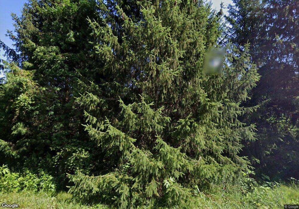
9332 W 500 N Andrews, IN 46702
Estimated Value: $139,000
2
Beds
1
Bath
2,084
Sq Ft
$67/Sq Ft
Est. Value
About This Home
This home is located at 9332 W 500 N, Andrews, IN 46702 and is currently estimated at $139,000, approximately $66 per square foot. 9332 W 500 N is a home located in Huntington County with nearby schools including Lancaster Elementary School and Huntington North High School.
Ownership History
Date
Name
Owned For
Owner Type
Purchase Details
Closed on
Nov 25, 2024
Sold by
Stowers Family Revocable Trust and Craker Vickie Kline
Bought by
Kline Heritage Farms And Forest Llc
Current Estimated Value
Purchase Details
Closed on
Jul 18, 2023
Sold by
Kline Kerry J
Bought by
Craker Vickie Kline
Purchase Details
Closed on
Dec 3, 2021
Sold by
Stowers Ross J
Bought by
Stowers Family Revocable Trust
Purchase Details
Closed on
Aug 29, 2013
Sold by
Stowers Ross J and Estate Of Deborah A Stowers
Bought by
Stowers Ross J
Create a Home Valuation Report for This Property
The Home Valuation Report is an in-depth analysis detailing your home's value as well as a comparison with similar homes in the area
Home Values in the Area
Average Home Value in this Area
Purchase History
| Date | Buyer | Sale Price | Title Company |
|---|---|---|---|
| Kline Heritage Farms And Forest Llc | -- | None Listed On Document | |
| Craker Vickie Kline | $33,250 | None Listed On Document | |
| Craker Vickie Kline | $33,250 | None Listed On Document | |
| Kline Lorinda Dawn | $33,250 | None Listed On Document | |
| Kline Patricia Lynn | $33,250 | None Listed On Document | |
| Kline Beth Ann | $33,250 | None Listed On Document | |
| Quiroz-Kline Amalia Eugenia | $33,250 | None Listed On Document | |
| Kline Fay Ann | $33,250 | None Listed On Document | |
| Stowers Family Revocable Trust | -- | None Listed On Document | |
| Stowers Ross J | -- | None Available |
Source: Public Records
Tax History Compared to Growth
Tax History
| Year | Tax Paid | Tax Assessment Tax Assessment Total Assessment is a certain percentage of the fair market value that is determined by local assessors to be the total taxable value of land and additions on the property. | Land | Improvement |
|---|---|---|---|---|
| 2024 | $1,344 | $93,400 | $93,300 | $100 |
| 2023 | $1,188 | $78,100 | $78,000 | $100 |
| 2022 | $1,869 | $126,300 | $126,200 | $100 |
| 2021 | $1,925 | $117,900 | $117,800 | $100 |
| 2020 | $1,983 | $117,500 | $117,400 | $100 |
| 2019 | $1,216 | $76,800 | $76,700 | $100 |
| 2018 | $1,297 | $79,200 | $79,100 | $100 |
| 2017 | $1,368 | $91,000 | $90,900 | $100 |
| 2016 | $1,428 | $96,400 | $96,300 | $100 |
| 2014 | $1,638 | $111,200 | $110,500 | $700 |
| 2013 | $1,638 | $96,900 | $96,200 | $700 |
Source: Public Records
Map
Nearby Homes
- 8937 S 900 W
- 00 S 600 E
- TBD S 600 W
- 3682 E State Road 124
- 3192 E 800 S Unit 2
- 7917 E State Road 218
- 5510 W 1000 S
- 2165 E 400 S
- 2801 W 600 S
- 92 S 425 W
- 403 E Kendall St
- 330 W Mckeever St
- 63 E Mckeever St
- 187 S Snowden St
- 5562 W 100 N
- 3 Mason St
- 109 E Grant St
- 460 Main St
- 2848 N 800 E
- 874 N Jackson St
- 9560 W Chapel Rd
- 9339 W Chapel Rd
- 9407 W Chapel Rd
- 9625 W Chapel Rd
- 9757 W Chapel Rd
- 9511 Lost Bridge Rd W
- 9819 W Chapel Rd
- 9039 W Chapel Rd
- 9601 Lost Bridge Rd W
- 9601 1/2 Lost Bridge Rd W
- 9701 Lost Bridge Rd W
- 9862 W Chapel Rd
- 9759 Lost Bridge Rd W
- 5214 S 900 W
- 4633 S 900 W
- 9965 W Chapel Rd
- 5048 S 800 E
- 5190 S 800 E
- 4367 S 900 W
- 5336 S 800 E
