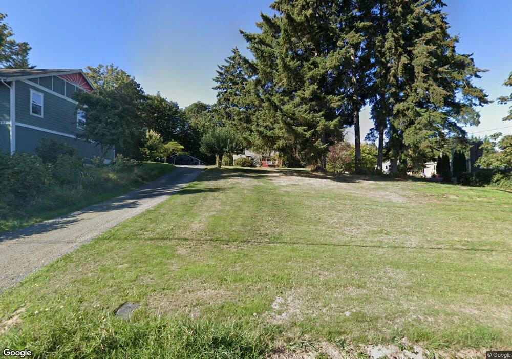
9339 Silverdale Loop Rd NW Silverdale, WA 98383
Estimated Value: $393,000 - $598,000
2
Beds
1
Bath
1,044
Sq Ft
$455/Sq Ft
Est. Value
About This Home
This home is located at 9339 Silverdale Loop Rd NW, Silverdale, WA 98383 and is currently estimated at $474,528, approximately $454 per square foot. 9339 Silverdale Loop Rd NW is a home located in Kitsap County with nearby schools including Silverdale Elementary School, Central Kitsap Middle School, and Central Kitsap High School.
Ownership History
Date
Name
Owned For
Owner Type
Purchase Details
Closed on
Jul 7, 2000
Sold by
Masters Kevin D
Bought by
Masters Karl
Current Estimated Value
Home Financials for this Owner
Home Financials are based on the most recent Mortgage that was taken out on this home.
Original Mortgage
$92,000
Outstanding Balance
$33,666
Interest Rate
8.55%
Estimated Equity
$440,862
Purchase Details
Closed on
Aug 10, 1998
Sold by
Masters Jacki D
Bought by
Masters Kevin D
Purchase Details
Closed on
Oct 2, 1995
Sold by
Cameron Frank B
Bought by
Masters Kevin D and Masters Jacki D
Home Financials for this Owner
Home Financials are based on the most recent Mortgage that was taken out on this home.
Original Mortgage
$60,300
Interest Rate
7.92%
Create a Home Valuation Report for This Property
The Home Valuation Report is an in-depth analysis detailing your home's value as well as a comparison with similar homes in the area
Home Values in the Area
Average Home Value in this Area
Purchase History
| Date | Buyer | Sale Price | Title Company |
|---|---|---|---|
| Masters Karl | $115,000 | Transnation Title Insurance | |
| Masters Kevin D | -- | -- | |
| Masters Kevin D | $67,000 | Transamerica Title Insurance |
Source: Public Records
Mortgage History
| Date | Status | Borrower | Loan Amount |
|---|---|---|---|
| Open | Masters Karl | $92,000 | |
| Closed | Masters Kevin D | $60,300 |
Source: Public Records
Tax History Compared to Growth
Tax History
| Year | Tax Paid | Tax Assessment Tax Assessment Total Assessment is a certain percentage of the fair market value that is determined by local assessors to be the total taxable value of land and additions on the property. | Land | Improvement |
|---|---|---|---|---|
| 2026 | $3,206 | $335,780 | $146,970 | $188,810 |
| 2025 | $3,206 | $335,780 | $146,970 | $188,810 |
| 2024 | $3,118 | $335,780 | $146,970 | $188,810 |
| 2023 | $2,648 | $281,870 | $162,500 | $119,370 |
| 2022 | $2,553 | $239,600 | $138,020 | $101,580 |
| 2021 | $2,458 | $219,830 | $126,280 | $93,550 |
| 2020 | $2,247 | $203,150 | $116,490 | $86,660 |
| 2019 | $2,147 | $188,030 | $107,680 | $80,350 |
| 2018 | $2,298 | $164,280 | $99,510 | $64,770 |
| 2017 | $2,139 | $164,280 | $99,510 | $64,770 |
| 2016 | $2,181 | $155,240 | $99,510 | $55,730 |
| 2015 | $2,088 | $155,240 | $99,510 | $55,730 |
| 2014 | -- | $150,720 | $99,510 | $51,210 |
| 2013 | -- | $150,720 | $99,510 | $51,210 |
Source: Public Records
Map
Nearby Homes
- 9009 Martin Ave NW
- 1111 NW Lowell St
- 3831 NW Anderson Hill Rd
- 8755 Shore Place NW
- 0 NW Anderson Hill Rd Unit NWM2348272
- 4460 NW Arriva Way
- 10183 Frontier Place NW
- 8147 Knute Ln NW
- 8702 Schoolway Place NW
- 8194 Silverdale Way NW
- 5021 NW Cedarside Loop
- 5052 NW Cedarside Loop
- 5037 NW Cedarside Loop
- 5044 NW Cedarside Loop
- 5053 NW Cedarside Loop
- 3761 NW Highland Ct
- 5077 NW Cedarside Loop
- 4844 NW Walgren Dr
- 12812 Jammer Place NW
- 5112 NW Bear Paw Ct
- 9357 Silverdale Loop Rd NW
- 9293 Silverdale Loop Rd NW
- 9187 Silverdale Loop Rd NW
- 9257 Silverdale Loop Rd NW
- 9342 Silverdale Loop Rd NW
- 9437 Silverdale Loop Rd NW
- 9292 Silverdale Loop Rd NW
- 9346 Silverdale Loop Rd NW
- 9439 Silverdale Loop Rd NW
- 9428 Silverdale Loop Rd NW
- 3892 NW Munson St
- 9441 Silverdale Loop Rd NW
- 3952 NW Munson St
- 3862 NW Munson St
- 9467 Silverdale Loop Rd NW
- 9455 Silverdale Loop Rd NW
- 9467 Silverdale Loop Rd NW
- 9191 Silverdale Loop Rd NW
- 3930 NW Munson St