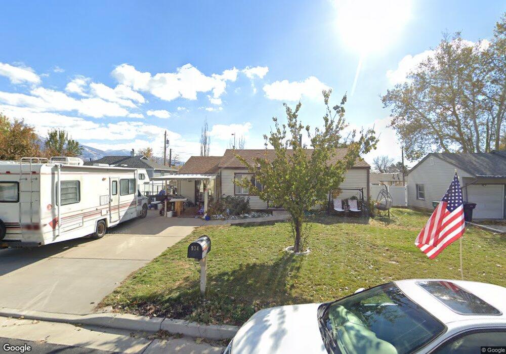
934 Goddard Cir Layton, UT 84041
Estimated Value: $309,000 - $372,000
2
Beds
1
Bath
772
Sq Ft
$445/Sq Ft
Est. Value
About This Home
This home is located at 934 Goddard Cir, Layton, UT 84041 and is currently estimated at $343,421, approximately $444 per square foot. 934 Goddard Cir is a home located in Davis County with nearby schools including Whitesides Elementary School, Central Davis Junior High School, and Layton High School.
Ownership History
Date
Name
Owned For
Owner Type
Purchase Details
Closed on
Nov 6, 2025
Sold by
Peter Andrew Kranenburg Family Protectio and Bronson Gwendolyn Ann
Bought by
Gwen Bronson Trust and Bronson
Current Estimated Value
Purchase Details
Closed on
Nov 7, 2002
Sold by
Bronson Gwendolyn A and Kranenburg Peter A
Bought by
Bronson Owen W and Bronson Gwendolyn A
Home Financials for this Owner
Home Financials are based on the most recent Mortgage that was taken out on this home.
Original Mortgage
$70,000
Interest Rate
5.88%
Create a Home Valuation Report for This Property
The Home Valuation Report is an in-depth analysis detailing your home's value as well as a comparison with similar homes in the area
Home Values in the Area
Average Home Value in this Area
Purchase History
| Date | Buyer | Sale Price | Title Company |
|---|---|---|---|
| Gwen Bronson Trust | -- | None Listed On Document | |
| Bronson Owen W | -- | Bonneville Title Company Inc |
Source: Public Records
Mortgage History
| Date | Status | Borrower | Loan Amount |
|---|---|---|---|
| Previous Owner | Bronson Owen W | $70,000 |
Source: Public Records
Tax History Compared to Growth
Tax History
| Year | Tax Paid | Tax Assessment Tax Assessment Total Assessment is a certain percentage of the fair market value that is determined by local assessors to be the total taxable value of land and additions on the property. | Land | Improvement |
|---|---|---|---|---|
| 2025 | -- | $154,000 | $98,041 | $55,959 |
| 2024 | $395 | $152,899 | $114,471 | $38,428 |
| 2023 | $1,395 | $143,000 | $76,054 | $66,945 |
| 2022 | $1,364 | $251,000 | $131,738 | $119,262 |
| 2021 | $1,312 | $198,000 | $99,923 | $98,077 |
| 2020 | $1,181 | $171,000 | $84,795 | $86,205 |
| 2019 | $1,156 | $164,000 | $81,195 | $82,805 |
| 2018 | $1,025 | $146,000 | $81,195 | $64,805 |
| 2016 | $896 | $65,780 | $25,474 | $40,306 |
| 2015 | $853 | $59,510 | $25,474 | $34,036 |
| 2014 | $973 | $69,395 | $25,474 | $43,921 |
| 2013 | -- | $66,014 | $17,588 | $48,426 |
Source: Public Records
Map
Nearby Homes
- 942 E Gentile St
- 431 N 1050 E
- 1168 Holmes Creek Ln
- 1247 E 300 N
- 508 N Adamswood Rd
- 86 Mill Rd
- 556 N Fairfield Rd Unit A2
- 556 N Fairfield Rd Unit D1
- 556 N Fairfield Rd Unit D2
- 556 N Fairfield Rd Unit A3
- 556 N Fairfield Rd Unit D3
- 556 N Fairfield Rd Unit D4
- 556 N Fairfield Rd Unit A1
- 556 N Fairfield Rd Unit A4
- 110 Mill Rd
- 861 E 575 N
- 857 E 575 N
- 479 N 1375 E
- 580 N Allanwood Place
- 617 E 405 S