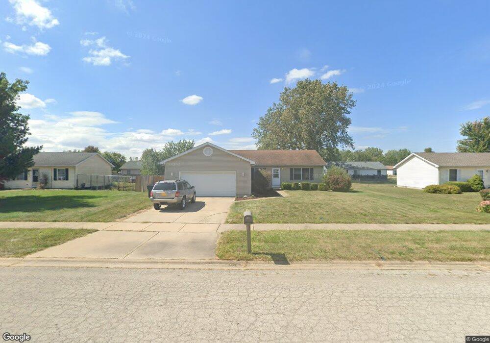
934 N Mabel Ct Braidwood, IL 60408
Estimated Value: $267,520 - $299,000
3
Beds
2
Baths
--
Sq Ft
0.25
Acres
About This Home
This home is located at 934 N Mabel Ct, Braidwood, IL 60408 and is currently estimated at $283,380. 934 N Mabel Ct is a home located in Will County with nearby schools including Reed-Custer Intermediate School, Reed-Custer Middle School, and Reed-Custer High School.
Ownership History
Date
Name
Owned For
Owner Type
Purchase Details
Closed on
Sep 11, 2007
Sold by
Sederlund Adam and Sederlund Jennifer
Bought by
Jones Robert W
Current Estimated Value
Home Financials for this Owner
Home Financials are based on the most recent Mortgage that was taken out on this home.
Original Mortgage
$173,655
Interest Rate
6.47%
Mortgage Type
VA
Purchase Details
Closed on
Mar 9, 2006
Sold by
Ithal Dennis J and Ithal Rebecca C
Bought by
Sederlund Adam and Sederlund Jennifer
Home Financials for this Owner
Home Financials are based on the most recent Mortgage that was taken out on this home.
Original Mortgage
$175,900
Interest Rate
6.33%
Mortgage Type
Fannie Mae Freddie Mac
Purchase Details
Closed on
Dec 13, 2004
Sold by
Hayden Michael
Bought by
Ithal Dennis J and Ithal Rebecca C
Home Financials for this Owner
Home Financials are based on the most recent Mortgage that was taken out on this home.
Original Mortgage
$95,900
Interest Rate
5.84%
Mortgage Type
Purchase Money Mortgage
Create a Home Valuation Report for This Property
The Home Valuation Report is an in-depth analysis detailing your home's value as well as a comparison with similar homes in the area
Home Values in the Area
Average Home Value in this Area
Purchase History
| Date | Buyer | Sale Price | Title Company |
|---|---|---|---|
| Jones Robert W | $170,000 | None Available | |
| Sederlund Adam | $176,000 | Ticor Title | |
| Ithal Dennis J | $156,000 | Grundy Pioneer Title Co Inc |
Source: Public Records
Mortgage History
| Date | Status | Borrower | Loan Amount |
|---|---|---|---|
| Previous Owner | Jones Robert W | $173,655 | |
| Previous Owner | Sederlund Adam | $175,900 | |
| Previous Owner | Ithal Dennis J | $95,900 |
Source: Public Records
Tax History Compared to Growth
Tax History
| Year | Tax Paid | Tax Assessment Tax Assessment Total Assessment is a certain percentage of the fair market value that is determined by local assessors to be the total taxable value of land and additions on the property. | Land | Improvement |
|---|---|---|---|---|
| 2024 | $26 | $75,336 | $15,888 | $59,448 |
| 2023 | $26 | $67,475 | $14,230 | $53,245 |
| 2022 | $3,806 | $61,230 | $12,913 | $48,317 |
| 2021 | $4,096 | $58,442 | $12,325 | $46,117 |
| 2020 | $3,900 | $55,369 | $11,677 | $43,692 |
| 2019 | $3,697 | $52,284 | $11,026 | $41,258 |
| 2018 | $3,568 | $50,032 | $10,551 | $39,481 |
| 2017 | $3,507 | $49,051 | $10,344 | $38,707 |
| 2016 | $3,427 | $47,438 | $10,004 | $37,434 |
| 2015 | $3,306 | $46,214 | $9,746 | $36,468 |
| 2014 | $3,306 | $46,214 | $9,746 | $36,468 |
| 2013 | $3,306 | $49,427 | $10,424 | $39,003 |
Source: Public Records
Map
Nearby Homes
- 430 W 7th St
- 495 W 6th St
- 605 N Division St
- 584 N Division St
- 642 W Bergera Rd
- 0000 N Division St
- 495 N Division St
- 837 Blackhawk Dr
- 470 N Walker St
- 466 N Walker St
- 886 Western Ave
- 460 N School St
- 470 N School St
- 571 N Lincoln St
- 999 W Cermak Rd
- 1021 W Cermak Rd
- 340 N Walker St
- 1034 Madison Ave
- 1018 Madison Ave
- 203 E Coal City Rd