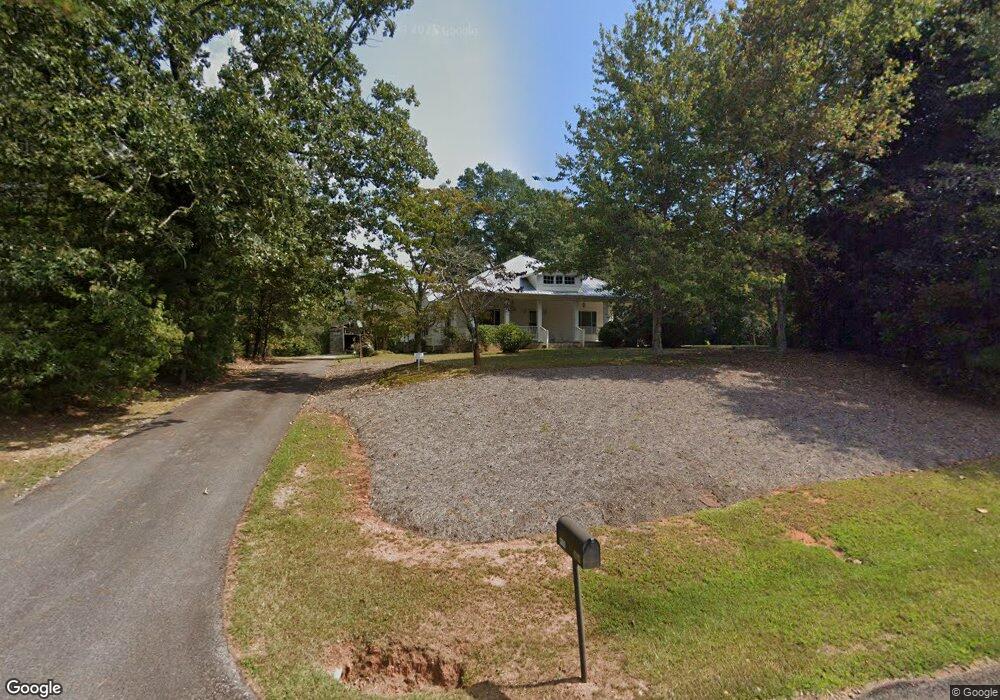
934 Star Point Rd Carrollton, GA 30116
Estimated Value: $292,000 - $433,000
2
Beds
1
Bath
1,504
Sq Ft
$248/Sq Ft
Est. Value
About This Home
This home is located at 934 Star Point Rd, Carrollton, GA 30116 and is currently estimated at $372,916, approximately $247 per square foot. 934 Star Point Rd is a home located in Carroll County with nearby schools including Roopville Elementary School, Central Middle School, and Central High School.
Ownership History
Date
Name
Owned For
Owner Type
Purchase Details
Closed on
Aug 3, 2018
Sold by
Wood Mary N
Bought by
Wood David L and Wood Patricia A
Current Estimated Value
Purchase Details
Closed on
Oct 25, 2006
Sold by
Wood Mary N
Bought by
Wood David L
Purchase Details
Closed on
Jul 29, 2003
Sold by
Wood Mary N and Wood Elbert
Bought by
Wood Mary N
Purchase Details
Closed on
Oct 17, 2000
Sold by
Lyle Gwynn M
Bought by
Wood Mary N and Wood Elbert
Purchase Details
Closed on
Apr 1, 1992
Sold by
Lylw Gwynn
Bought by
Wood Mary N and Wood Elbert
Create a Home Valuation Report for This Property
The Home Valuation Report is an in-depth analysis detailing your home's value as well as a comparison with similar homes in the area
Home Values in the Area
Average Home Value in this Area
Purchase History
| Date | Buyer | Sale Price | Title Company |
|---|---|---|---|
| Wood David L | -- | -- | |
| Wood David L | -- | -- | |
| Wood Mary N | -- | -- | |
| Wood Mary N | -- | -- | |
| Wood Mary N | -- | -- |
Source: Public Records
Tax History Compared to Growth
Tax History
| Year | Tax Paid | Tax Assessment Tax Assessment Total Assessment is a certain percentage of the fair market value that is determined by local assessors to be the total taxable value of land and additions on the property. | Land | Improvement |
|---|---|---|---|---|
| 2024 | $2,911 | $128,682 | $73,970 | $54,712 |
| 2023 | $2,911 | $109,106 | $59,176 | $49,930 |
| 2022 | $1,242 | $79,508 | $39,451 | $40,057 |
| 2021 | $1,106 | $66,130 | $31,560 | $34,570 |
| 2020 | $1,010 | $59,891 | $28,692 | $31,199 |
| 2019 | $958 | $57,737 | $28,692 | $29,045 |
| 2018 | $138 | $53,632 | $26,815 | $26,817 |
| 2017 | $138 | $53,632 | $26,815 | $26,817 |
| 2016 | $137 | $53,632 | $26,815 | $26,817 |
| 2015 | $174 | $42,010 | $19,971 | $22,039 |
| 2014 | $174 | $42,010 | $19,971 | $22,039 |
Source: Public Records
Map
Nearby Homes
- 00 Ringer Rd
- 2088 Star Point Rd
- 0 Bonner Goldmine Rd Unit 145631
- 0 Bonner Goldmine Rd Unit 10433818
- 1170 Lowell Rd
- 1921 Star Point Rd
- 0 Ringer Rd Unit 10595950
- 0 Louise Ln Unit 10563364
- 0 Lowell Rd Unit 10640679
- 2018 Star Point Rd
- 500 Coleman Mill Rd
- 191 Tumlin Creek Rd
- 2100 Star Point Rd
- 2201 Star Point Rd
- 301 E Highway 5
- 221 Valley Ridge Dr
- 195 Gold Dust Trail
- 484 Carrie Kathleen Terrace
- 1086 Star Point Rd
- 1191 Star Point Rd
- 146 Southbend Dr
- 142 Southbend Dr
- 1240 Star Point Rd
- 145 Southbend Dr Unit 10
- 145 Southbend Dr
- 1047 Ringer Rd
- 138 Southbend Dr
- 141 Southbend Dr
- 134 Southbend Dr
- 1074 Ringer Rd
- 1052 Ringer Rd
- 1105 Ringer Rd
- 1171 Ringer Rd
- 1030 Ringer Rd
- 137 Southbend Dr
- 1138 Ringer Rd
- 130 Southbend Dr
- 133 Southbend Dr