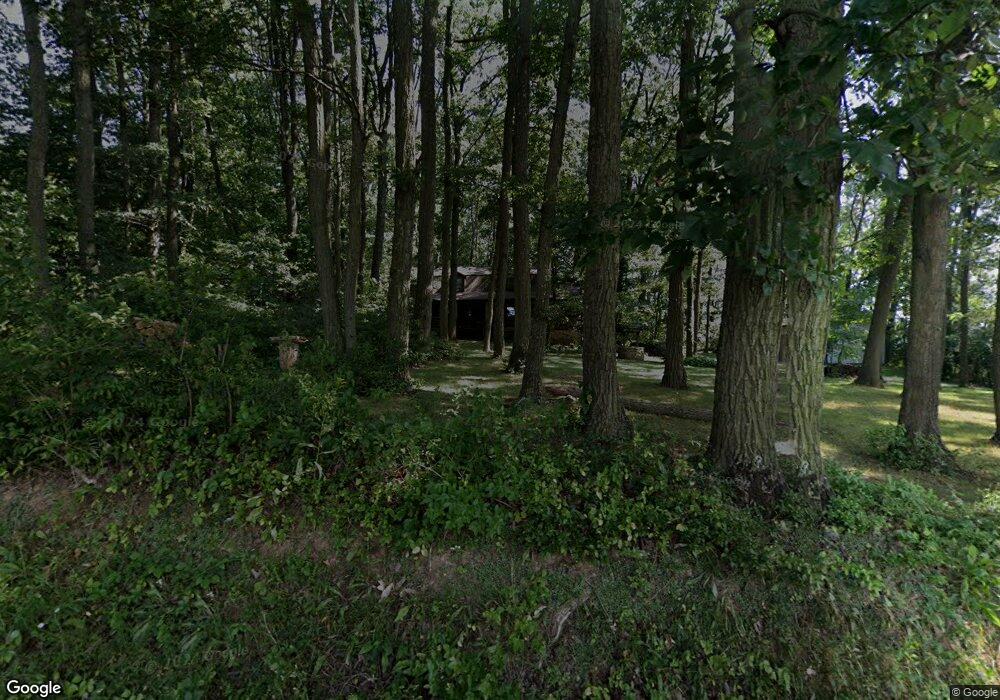
934 W Forrest Ave Glen Rock, PA 17327
Estimated Value: $380,000 - $560,000
3
Beds
3
Baths
2,128
Sq Ft
$214/Sq Ft
Est. Value
About This Home
This home is located at 934 W Forrest Ave, Glen Rock, PA 17327 and is currently estimated at $455,468, approximately $214 per square foot. 934 W Forrest Ave is a home located in York County with nearby schools including Susquehannock High School, St John The Baptist Catholic School, and Shrewsbury Christian Academy.
Ownership History
Date
Name
Owned For
Owner Type
Purchase Details
Closed on
Sep 30, 2005
Sold by
Norton Richard R and Norton Debra M
Bought by
Munford Michael W and Munford Barbara G
Current Estimated Value
Home Financials for this Owner
Home Financials are based on the most recent Mortgage that was taken out on this home.
Original Mortgage
$240,000
Interest Rate
5.81%
Mortgage Type
Fannie Mae Freddie Mac
Purchase Details
Closed on
Jan 1, 1984
Bought by
Norton Richard R and Norton Debra M
Create a Home Valuation Report for This Property
The Home Valuation Report is an in-depth analysis detailing your home's value as well as a comparison with similar homes in the area
Home Values in the Area
Average Home Value in this Area
Purchase History
| Date | Buyer | Sale Price | Title Company |
|---|---|---|---|
| Munford Michael W | $340,000 | None Available | |
| Norton Richard R | $17,000 | -- |
Source: Public Records
Mortgage History
| Date | Status | Borrower | Loan Amount |
|---|---|---|---|
| Closed | Munford Michael W | $240,000 |
Source: Public Records
Tax History Compared to Growth
Tax History
| Year | Tax Paid | Tax Assessment Tax Assessment Total Assessment is a certain percentage of the fair market value that is determined by local assessors to be the total taxable value of land and additions on the property. | Land | Improvement |
|---|---|---|---|---|
| 2025 | $6,483 | $234,270 | $76,410 | $157,860 |
| 2024 | $6,298 | $234,270 | $76,410 | $157,860 |
| 2023 | $6,298 | $234,270 | $76,410 | $157,860 |
| 2022 | $6,298 | $234,270 | $76,410 | $157,860 |
| 2021 | $6,050 | $234,270 | $76,410 | $157,860 |
| 2020 | $6,050 | $234,270 | $76,410 | $157,860 |
| 2019 | $5,998 | $234,270 | $76,410 | $157,860 |
| 2018 | $5,888 | $234,270 | $76,410 | $157,860 |
| 2017 | $5,780 | $234,270 | $76,410 | $157,860 |
| 2016 | $0 | $234,270 | $76,410 | $157,860 |
| 2015 | -- | $234,270 | $76,410 | $157,860 |
| 2014 | -- | $234,270 | $76,410 | $157,860 |
Source: Public Records
Map
Nearby Homes
- 11 Bridle Rd
- 14 Kratz Rd
- LOT 8 SAVANNAH MODEL Harambe Overlook
- LOT 6 CAMDEN MODEL Harambe Overlook
- LOT 7 ST. MICHAELS M Harambe Overlook
- LOT 8 PORTLAND MODEL Harambe Overlook
- 1 Harambe Overlook
- 2 S Hill St
- 52 N Main St
- 12 S Main St
- 28 Valley Rd
- 0 Lot 6 Harambe Overlook Unit PAYK2092222
- 0 Lot 7 Harambe Overlook Unit PAYK2092224
- 0 Lot 8 Harambe Overlook Unit PAYK2092226
- 0 Lot 10 Harambe Overlook Unit PAYK2092216
- 23 Clear Run Dr
- 32 Washington Rd
- 35 Independence Dr
- 610 E Tolna Rd Unit SAVANNAH
- 610 E Tolna Rd Unit ADDISON
- 878 W Forrest Ave
- 883 W Forrest Ave
- 814 W Forrest Ave
- 843 W Forrest Ave
- 809 W Forrest Ave
- 1038 W Forrest Ave
- 320 W. Forrest Avenu Lot 11 Portland Model
- Lot 11 Portland Mode W Forrest Ave
- 795 W Forrest Ave
- 695 W Forrest Ave
- 1215 Kratz Rd
- 331 W Forrest Ave
- 322 W Forrest Ave
- 318 W Forrest Ave
- 326 W Forrest Ave
- 320 W Forrest Ave
- 332 W Forrest Ave
- 332 W Forrest Ave Unit LOT 5
- 332 W Forrest Ave
- 332 W Forrest Ave